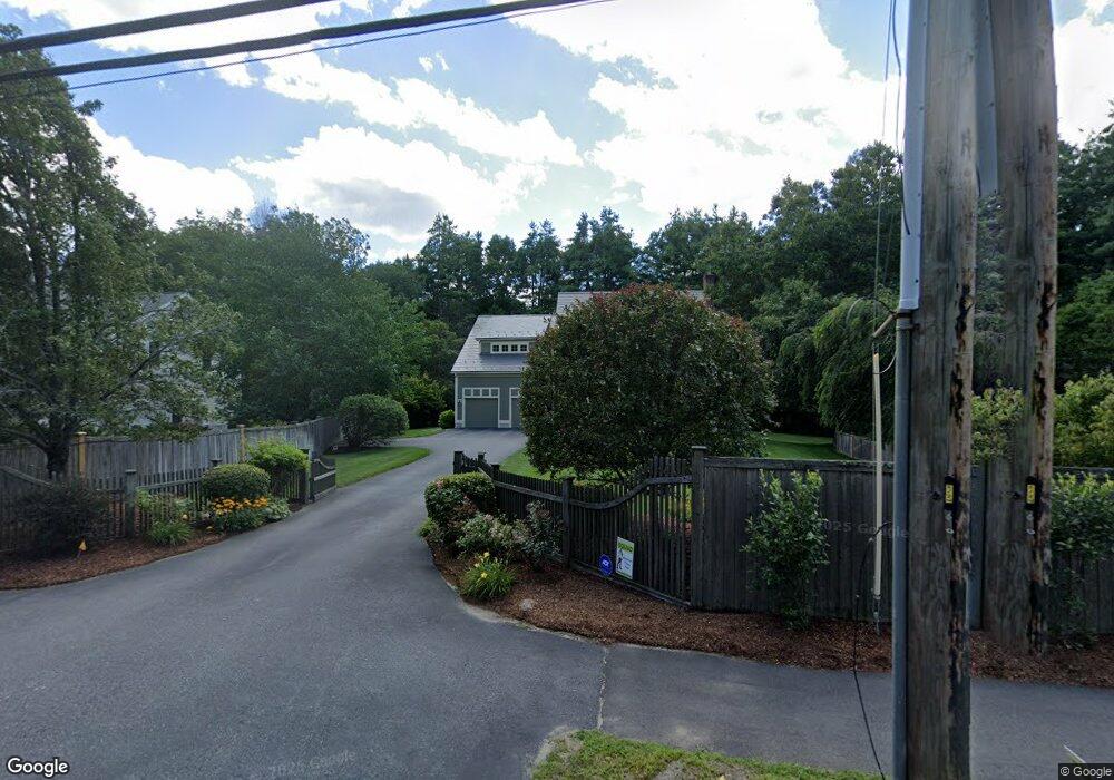
133 Hudson Rd Sudbury, MA 01776
Estimated Value: $1,403,893 - $1,726,000
4
Beds
5
Baths
3,586
Sq Ft
$431/Sq Ft
Est. Value
About This Home
This home is located at 133 Hudson Rd, Sudbury, MA 01776 and is currently estimated at $1,545,223, approximately $430 per square foot. 133 Hudson Rd is a home located in Middlesex County with nearby schools including Peter Noyes Elementary School, Ephraim Curtis Middle School, and Lincoln-Sudbury Regional High School.
Ownership History
Date
Name
Owned For
Owner Type
Purchase Details
Closed on
Nov 10, 2000
Sold by
Ricci Bros Rt and Ricci David M
Bought by
Carder David L and Carder Sara M
Current Estimated Value
Home Financials for this Owner
Home Financials are based on the most recent Mortgage that was taken out on this home.
Original Mortgage
$400,000
Interest Rate
7.81%
Mortgage Type
Purchase Money Mortgage
Create a Home Valuation Report for This Property
The Home Valuation Report is an in-depth analysis detailing your home's value as well as a comparison with similar homes in the area
Home Values in the Area
Average Home Value in this Area
Purchase History
| Date | Buyer | Sale Price | Title Company |
|---|---|---|---|
| Carder David L | $608,400 | -- |
Source: Public Records
Mortgage History
| Date | Status | Borrower | Loan Amount |
|---|---|---|---|
| Open | Carder David L | $417,000 | |
| Closed | Carder David L | $400,000 |
Source: Public Records
Tax History Compared to Growth
Tax History
| Year | Tax Paid | Tax Assessment Tax Assessment Total Assessment is a certain percentage of the fair market value that is determined by local assessors to be the total taxable value of land and additions on the property. | Land | Improvement |
|---|---|---|---|---|
| 2025 | $19,353 | $1,321,900 | $380,900 | $941,000 |
| 2024 | $18,626 | $1,274,900 | $369,700 | $905,200 |
| 2023 | $17,591 | $1,115,500 | $355,300 | $760,200 |
| 2022 | $17,254 | $955,900 | $326,100 | $629,800 |
| 2021 | $8,197 | $865,600 | $326,100 | $539,500 |
| 2020 | $7,822 | $865,600 | $326,100 | $539,500 |
| 2019 | $7,055 | $865,600 | $326,100 | $539,500 |
| 2018 | $7,072 | $835,900 | $316,100 | $519,800 |
| 2017 | $14,687 | $827,900 | $312,900 | $515,000 |
| 2016 | $14,265 | $801,400 | $300,900 | $500,500 |
| 2015 | $13,682 | $777,400 | $286,500 | $490,900 |
| 2014 | $13,690 | $759,300 | $278,100 | $481,200 |
Source: Public Records
Map
Nearby Homes
- 24 Goodnow Rd
- 36 Old Forge Ln
- 270 Old Lancaster Rd
- 427 Concord Rd
- 63 Canterbury Dr
- 12 Camperdown Ln
- 4 Elderberry Cir
- 47 Fairbank Rd
- 89 Bridle Path
- 14 Tanbark Rd
- 55 Widow Rites Ln
- 45 Widow Rites Ln
- 54 Phillips Rd
- 7 Saddle Ridge Rd
- 25 Bridle Path
- 36 Concord Rd
- 21 Summer St
- 30 Rolling Ln
- 10 Bradley Place
- 23 Massasoit Ave
- 434 Old Lancaster Rd
- 125 Hudson Rd
- 4 Demarco Rd
- 12 Demarco Rd
- 16 Demarco Rd
- 414 Old Lancaster Rd
- 15 Demarco Rd
- 22 Demarco Rd
- 136 Hudson Rd
- 19 Demarco Rd
- 406 Old Lancaster Rd
- 26 Demarco Rd
- 27 Demarco Rd
- 14 Twillingate Rd
- 0 Confidential Unit 72742735
- 102 Hudson Rd
- 32 Demarco Rd
- 5 Twillingate Rd
- 43 Drum Ln
- 5 Twillingate Rd