133 Katie Ln Golden, CO 80403
Estimated Value: $738,113 - $879,000
4
Beds
2
Baths
2,409
Sq Ft
$339/Sq Ft
Est. Value
About This Home
This home is located at 133 Katie Ln, Golden, CO 80403 and is currently estimated at $816,528, approximately $338 per square foot. 133 Katie Ln is a home located in Boulder County with nearby schools including Nederland Elementary School and Nederland Middle-Senior High School.
Ownership History
Date
Name
Owned For
Owner Type
Purchase Details
Closed on
Jul 27, 2006
Sold by
Wilke David A and Wilke Jennifer A
Bought by
Reiter Wendy
Current Estimated Value
Home Financials for this Owner
Home Financials are based on the most recent Mortgage that was taken out on this home.
Original Mortgage
$289,600
Outstanding Balance
$172,545
Interest Rate
6.62%
Mortgage Type
Purchase Money Mortgage
Estimated Equity
$643,983
Purchase Details
Closed on
Mar 25, 1998
Sold by
Oldendorf James and Oldendorf Judith
Bought by
Wilke David A
Home Financials for this Owner
Home Financials are based on the most recent Mortgage that was taken out on this home.
Original Mortgage
$193,000
Interest Rate
7.12%
Purchase Details
Closed on
Jun 4, 1993
Bought by
Reiter Troy J and Reiter Wendy
Purchase Details
Closed on
Jul 24, 1981
Bought by
Reiter Troy J and Reiter Wendy
Purchase Details
Closed on
Feb 26, 1979
Bought by
Reiter Troy J and Reiter Wendy
Create a Home Valuation Report for This Property
The Home Valuation Report is an in-depth analysis detailing your home's value as well as a comparison with similar homes in the area
Home Values in the Area
Average Home Value in this Area
Purchase History
| Date | Buyer | Sale Price | Title Company |
|---|---|---|---|
| Reiter Wendy | $362,000 | Utc Colorado | |
| Wilke David A | $230,000 | Land Title | |
| Reiter Troy J | $19,000 | -- | |
| Reiter Troy J | $15,500 | -- | |
| Reiter Troy J | $10,000 | -- |
Source: Public Records
Mortgage History
| Date | Status | Borrower | Loan Amount |
|---|---|---|---|
| Open | Reiter Wendy | $289,600 | |
| Previous Owner | Wilke David A | $193,000 |
Source: Public Records
Tax History Compared to Growth
Tax History
| Year | Tax Paid | Tax Assessment Tax Assessment Total Assessment is a certain percentage of the fair market value that is determined by local assessors to be the total taxable value of land and additions on the property. | Land | Improvement |
|---|---|---|---|---|
| 2025 | $3,967 | $53,419 | $4,900 | $48,519 |
| 2024 | $3,967 | $53,419 | $4,900 | $48,519 |
| 2023 | $3,892 | $49,078 | $5,085 | $47,677 |
| 2022 | $3,648 | $42,506 | $3,920 | $38,586 |
| 2021 | $3,594 | $43,730 | $4,033 | $39,697 |
| 2020 | $3,056 | $36,744 | $5,148 | $31,596 |
| 2019 | $3,007 | $36,744 | $5,148 | $31,596 |
| 2018 | $2,852 | $34,366 | $5,184 | $29,182 |
| 2017 | $2,767 | $37,993 | $5,731 | $32,262 |
| 2016 | $2,739 | $32,986 | $5,174 | $27,812 |
| 2015 | $2,587 | $29,468 | $14,328 | $15,140 |
| 2014 | $2,518 | $29,468 | $14,328 | $15,140 |
Source: Public Records
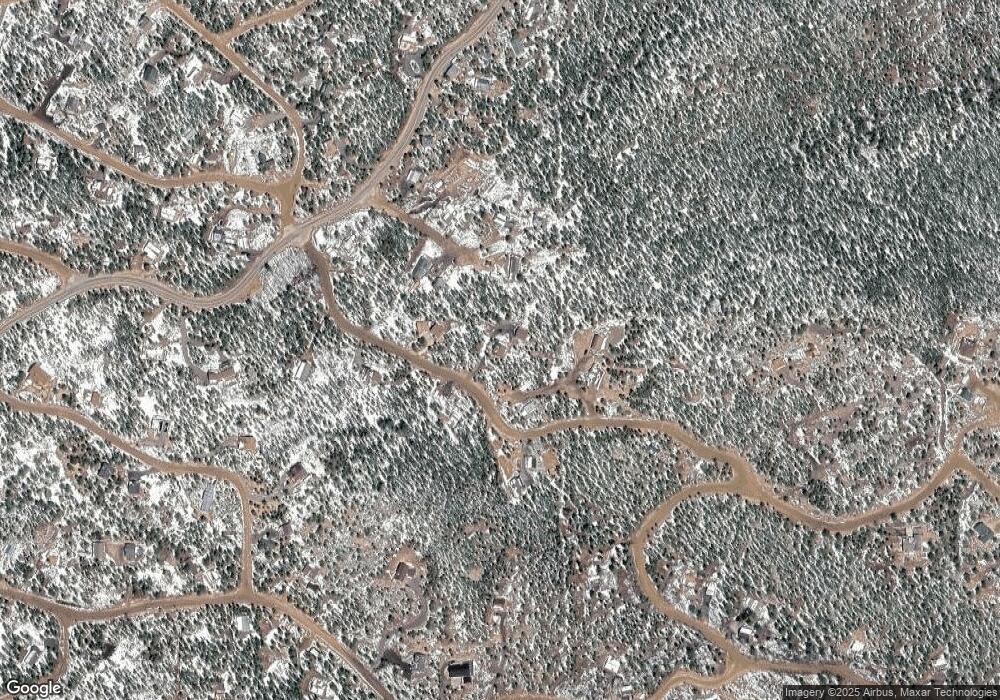
Map
Nearby Homes
- 5 Ronnie Rd
- 8 Ronnie Rd
- 900 Rudi Ln
- 713 Rudi Ln
- 306 Olde Carter Lake Rd
- 87 Circle Rd
- 31 Millard Rd
- 15 Hardscrabble Rd
- 33436 Coal Creek Canyon Rd
- 456 Copperdale Ln
- 24 Signal Rock Rd
- 11766 Coal Creek Heights Dr
- 11867 Coal Creek Heights Dr
- 11876 Coal Creek Heights Dr
- 388 Copperdale Ln
- 11857 Coal Creek Heights Dr
- 11956 Coal Creek Heights Dr
- 11717 Coal Creek Heights Dr
- 11997 Coal Creek Heights Dr
- 1118 Copperdale Ln