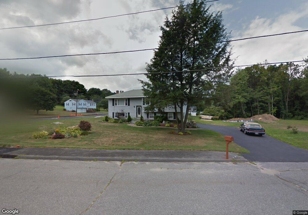
133 Kosmas St Marlborough, MA 01752
Estimated Value: $608,000 - $841,000
3
Beds
2
Baths
1,386
Sq Ft
$503/Sq Ft
Est. Value
About This Home
This home is located at 133 Kosmas St, Marlborough, MA 01752 and is currently estimated at $697,366, approximately $503 per square foot. 133 Kosmas St is a home located in Middlesex County with nearby schools including Marlborough High School, New Covenant Christian School, and Glenhaven Academy - JRI School.
Ownership History
Date
Name
Owned For
Owner Type
Purchase Details
Closed on
Apr 1, 1992
Sold by
Ram Rt
Bought by
Duplessis Robert J and Duplessis Joanne T
Current Estimated Value
Home Financials for this Owner
Home Financials are based on the most recent Mortgage that was taken out on this home.
Original Mortgage
$110,000
Interest Rate
8.73%
Mortgage Type
Purchase Money Mortgage
Purchase Details
Closed on
Nov 17, 1988
Sold by
Stohr Donald A
Bought by
Comeras Richard N
Create a Home Valuation Report for This Property
The Home Valuation Report is an in-depth analysis detailing your home's value as well as a comparison with similar homes in the area
Home Values in the Area
Average Home Value in this Area
Purchase History
| Date | Buyer | Sale Price | Title Company |
|---|---|---|---|
| Duplessis Robert J | $150,000 | -- | |
| Comeras Richard N | $137,500 | -- |
Source: Public Records
Mortgage History
| Date | Status | Borrower | Loan Amount |
|---|---|---|---|
| Open | Comeras Richard N | $46,000 | |
| Closed | Comeras Richard N | $114,000 | |
| Closed | Comeras Richard N | $110,000 |
Source: Public Records
Tax History Compared to Growth
Tax History
| Year | Tax Paid | Tax Assessment Tax Assessment Total Assessment is a certain percentage of the fair market value that is determined by local assessors to be the total taxable value of land and additions on the property. | Land | Improvement |
|---|---|---|---|---|
| 2025 | $6,081 | $616,700 | $230,000 | $386,700 |
| 2024 | $5,934 | $579,500 | $209,200 | $370,300 |
| 2023 | $6,107 | $529,200 | $180,500 | $348,700 |
| 2022 | $5,918 | $451,100 | $171,900 | $279,200 |
| 2021 | $5,811 | $421,100 | $143,300 | $277,800 |
| 2020 | $5,707 | $402,500 | $136,500 | $266,000 |
| 2019 | $5,569 | $395,800 | $133,800 | $262,000 |
| 2018 | $5,654 | $386,500 | $116,600 | $269,900 |
| 2017 | $5,817 | $379,700 | $115,300 | $264,400 |
| 2016 | $4,966 | $323,700 | $115,300 | $208,400 |
| 2015 | $4,495 | $285,200 | $117,900 | $167,300 |
Source: Public Records
Map
Nearby Homes
- 38 Airport Blvd
- 45 Raffaele Rd
- 323 Robert Rd
- 114 Lodi Rd
- 256 Robert Rd
- 37 Hosmer St Unit 10
- 37 Hosmer St Unit 20
- 274 Naugler Ave
- 137 Naugler Ave
- 57 Paquin Dr
- 24 Clinton St
- 16 Clinton St
- 110 Boston Post Rd E Unit 104
- 211 Stevens St
- 492 Stow Rd
- 25 Walnut St
- 97 Cook Ln
- 96 Cook Ln
- 41 Kane Dr
- 38 Collins Dr
- 60 Raffaele Rd
- 117 Kosmas St
- 134 Kosmas St
- 50 Raffaele Rd
- 69 Raffaele Rd
- 82 Raffaele Rd
- 124 Kosmas St
- 57 Raffaele Rd
- 81 Raffaele Rd
- 38 Airport Blvd
- 71 Airport Blvd Unit 15-A
- 98 Airport Blvd Unit 8
- 28 Airport Blvd Unit 2
- 49 Airport Blvd
- 37 Airport Blvd
- 17 Airport Blvd Unit 20
- 71 Airport Blvd
- 107 Kosmas St
- 114 Kosmas St
- 42 Raffaele Rd