133 Lakeside Ave Wrentham, MA 02093
Estimated Value: $832,000 - $890,000
3
Beds
3
Baths
2,400
Sq Ft
$360/Sq Ft
Est. Value
About This Home
This home is located at 133 Lakeside Ave, Wrentham, MA 02093 and is currently estimated at $863,631, approximately $359 per square foot. 133 Lakeside Ave is a home located in Norfolk County with nearby schools including Delaney Elementary School and Charles E Roderick.
Ownership History
Date
Name
Owned For
Owner Type
Purchase Details
Closed on
Oct 16, 1989
Sold by
Omalley Joseph
Bought by
Huyett Daniel D
Current Estimated Value
Home Financials for this Owner
Home Financials are based on the most recent Mortgage that was taken out on this home.
Original Mortgage
$120,000
Interest Rate
10.13%
Mortgage Type
Purchase Money Mortgage
Create a Home Valuation Report for This Property
The Home Valuation Report is an in-depth analysis detailing your home's value as well as a comparison with similar homes in the area
Home Values in the Area
Average Home Value in this Area
Purchase History
| Date | Buyer | Sale Price | Title Company |
|---|---|---|---|
| Huyett Daniel D | $185,000 | -- |
Source: Public Records
Mortgage History
| Date | Status | Borrower | Loan Amount |
|---|---|---|---|
| Open | Huyett Daniel D | $227,150 | |
| Closed | Huyett Daniel D | $117,000 | |
| Closed | Huyett Daniel D | $120,000 |
Source: Public Records
Tax History Compared to Growth
Tax History
| Year | Tax Paid | Tax Assessment Tax Assessment Total Assessment is a certain percentage of the fair market value that is determined by local assessors to be the total taxable value of land and additions on the property. | Land | Improvement |
|---|---|---|---|---|
| 2025 | $8,789 | $758,300 | $479,100 | $279,200 |
| 2024 | $8,729 | $727,400 | $479,100 | $248,300 |
| 2023 | $8,286 | $656,600 | $435,500 | $221,100 |
| 2022 | $7,886 | $576,900 | $386,600 | $190,300 |
| 2021 | $7,301 | $518,900 | $343,200 | $175,700 |
| 2020 | $7,980 | $560,000 | $374,200 | $185,800 |
| 2019 | $8,199 | $580,700 | $403,000 | $177,700 |
| 2018 | $8,580 | $602,500 | $403,600 | $198,900 |
| 2017 | $8,212 | $576,300 | $395,800 | $180,500 |
| 2016 | $8,018 | $561,500 | $384,400 | $177,100 |
| 2015 | $7,870 | $525,400 | $369,500 | $155,900 |
| 2014 | $7,768 | $507,400 | $355,400 | $152,000 |
Source: Public Records
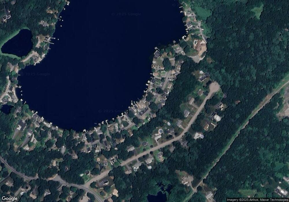
Map
Nearby Homes
- 131 Creek St Unit 7
- 11 Earle Stewart Ln
- 10 Nature View Dr
- 15 Nature View Dr
- Lot 3 - 14 Earle Stewart Ln
- Lot 1 - Blueberry 2 Car Plan at King Philip Estates
- Lot 8 - Blueberry 2 Car Plan at King Philip Estates
- Lot 6 - Blueberry 3 Car Plan at King Philip Estates
- Lot 2 - Camden 2 Car Plan at King Philip Estates
- Lot 7 - Cedar Plan at King Philip Estates
- Lot 4 - Hemingway 2 Car Plan at King Philip Estates
- Lot 3 - Blueberry 2 Car Plan at King Philip Estates
- 570 Franklin St
- 319 Taunton St
- 270 Dedham St
- 1 Lorraine Metcalf Dr
- 362 East St
- 791 South St Unit 5
- 50 Reed Fulton Ave Unit Lot 61
- 246 Forest Grove Ave
- 129 Lakeside Ave
- 125 Lakeside Ave
- 135 Lakeside Ave
- 121 Lakeside Ave
- 137 Lakeside Ave
- 141 Lakeside Ave
- 117 Lakeside Ave
- 132 Lakeside Ave
- 134 Lakeside Ave
- 130 Lakeside Ave
- 113 Lakeside Ave
- 145 Lakeside Ave
- 136 Lakeside Ave
- 136 Lakeside Ave Unit 136
- 138 Lakeside Ave
- 109 Lakeside Ave
- 151 Lakeside Ave
- 151 Lakeside Ave
- 151 Lakeside Ave Unit 2
- 114 Lakeside Ave