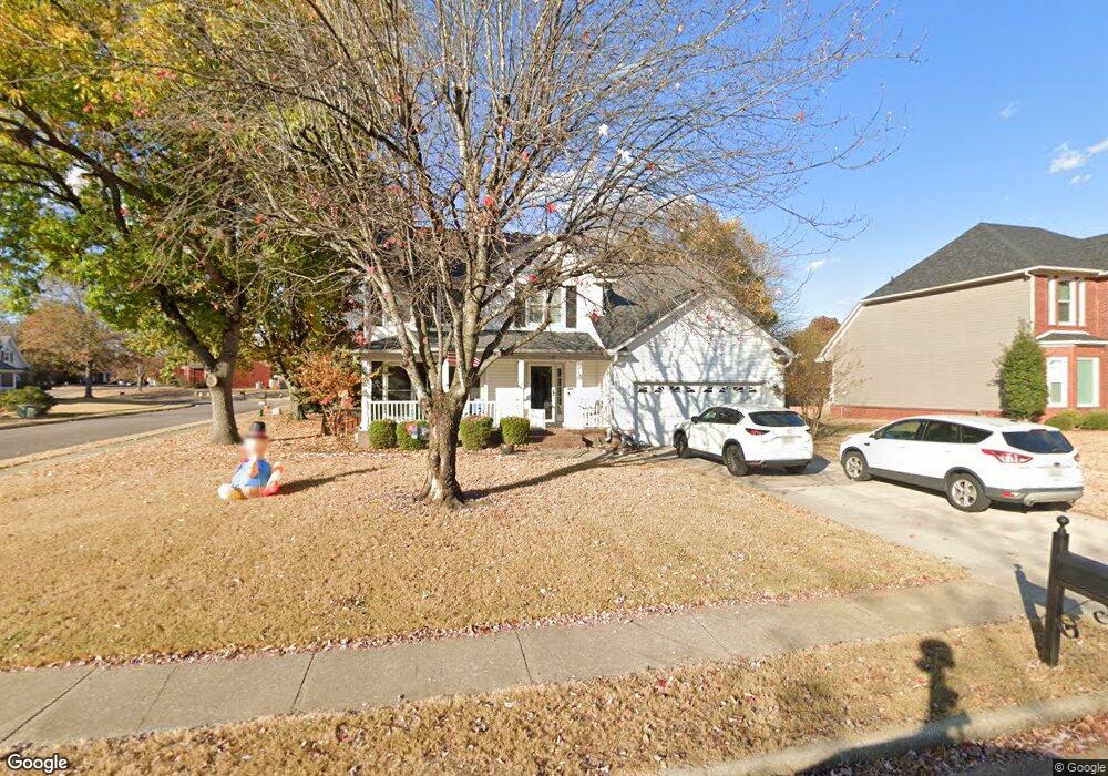
133 Leabrook Cir Madison, AL 35758
Estimated Value: $348,898 - $436,000
--
Bed
1
Bath
2,312
Sq Ft
$164/Sq Ft
Est. Value
About This Home
This home is located at 133 Leabrook Cir, Madison, AL 35758 and is currently estimated at $380,225, approximately $164 per square foot. 133 Leabrook Cir is a home with nearby schools including Rainbow Elementary School, Discovery Middle School, and Bob Jones High School.
Ownership History
Date
Name
Owned For
Owner Type
Purchase Details
Closed on
Jun 4, 2022
Sold by
Johnson Bradley R and Johnson Colleen P
Bought by
Oneill Timothy David and Oneill Kelly Lynn
Current Estimated Value
Home Financials for this Owner
Home Financials are based on the most recent Mortgage that was taken out on this home.
Original Mortgage
$244,000
Outstanding Balance
$232,227
Interest Rate
5.3%
Mortgage Type
New Conventional
Estimated Equity
$147,998
Create a Home Valuation Report for This Property
The Home Valuation Report is an in-depth analysis detailing your home's value as well as a comparison with similar homes in the area
Home Values in the Area
Average Home Value in this Area
Purchase History
| Date | Buyer | Sale Price | Title Company |
|---|---|---|---|
| Oneill Timothy David | $305,000 | Munger Russ | |
| Oneill Timothy David | $305,000 | None Listed On Document |
Source: Public Records
Mortgage History
| Date | Status | Borrower | Loan Amount |
|---|---|---|---|
| Open | Oneill Timothy David | $244,000 | |
| Closed | Oneill Timothy David | $244,000 |
Source: Public Records
Tax History Compared to Growth
Tax History
| Year | Tax Paid | Tax Assessment Tax Assessment Total Assessment is a certain percentage of the fair market value that is determined by local assessors to be the total taxable value of land and additions on the property. | Land | Improvement |
|---|---|---|---|---|
| 2024 | $2,542 | $37,120 | $7,500 | $29,620 |
| 2023 | $2,542 | $35,940 | $7,500 | $28,440 |
| 2022 | $2,065 | $30,260 | $5,540 | $24,720 |
| 2021 | $1,629 | $23,980 | $1,920 | $22,060 |
| 2020 | $1,542 | $22,740 | $1,920 | $20,820 |
| 2019 | $1,219 | $21,860 | $1,920 | $19,940 |
| 2018 | $1,142 | $20,520 | $0 | $0 |
| 2017 | $1,132 | $20,340 | $0 | $0 |
| 2016 | $1,132 | $20,340 | $0 | $0 |
| 2015 | $1,132 | $20,340 | $0 | $0 |
| 2014 | $1,107 | $20,080 | $0 | $0 |
Source: Public Records
Map
Nearby Homes
- 215 Pebblebrook Dr
- 203 Silverado Dr
- 225 Shortland Dr
- 102 Appaloosa Ct
- 108 Whitehall
- 128 Murry Dr
- 104 Patra Dr
- 107 Patra Dr
- 105 Yorkshire Dr
- 3.44 acres Highway 72
- 4.9 Acres Highway 72
- 116 Lake Crest Cir
- 29111 Highway 72
- 5190 Wall Triana Hwy
- 111 Lonesome Ct
- 1 Thomas Dr
- 109 Woodland Trail
- 212 Green Springs Ln
- 101 Mountain View Ln
- 165 Brass Oak Dr
- 135 Leabrook Cir
- 202 Pebblebrook Dr
- 202 Pebblebrook Dr
- 127 Leabrook Cir
- 137 Leabrook Cir
- 104 Ramble Cir
- 132 Leabrook Cir
- 130 Lea Brook Cir
- 203 Pebblebrook Dr
- 130 Leabrook Cir
- 134 Leabrook Cir
- 128 Leabrook Cir
- 125 Leabrook Cir
- 139 Leabrook Cir
- 106 Ramble Cir
- 204 Pebble Brook Dr
- 204 Pebblebrook Dr
- 136 Leabrook Cir
- 126 Lea Brook Cir
- 138 Leabrook Cir