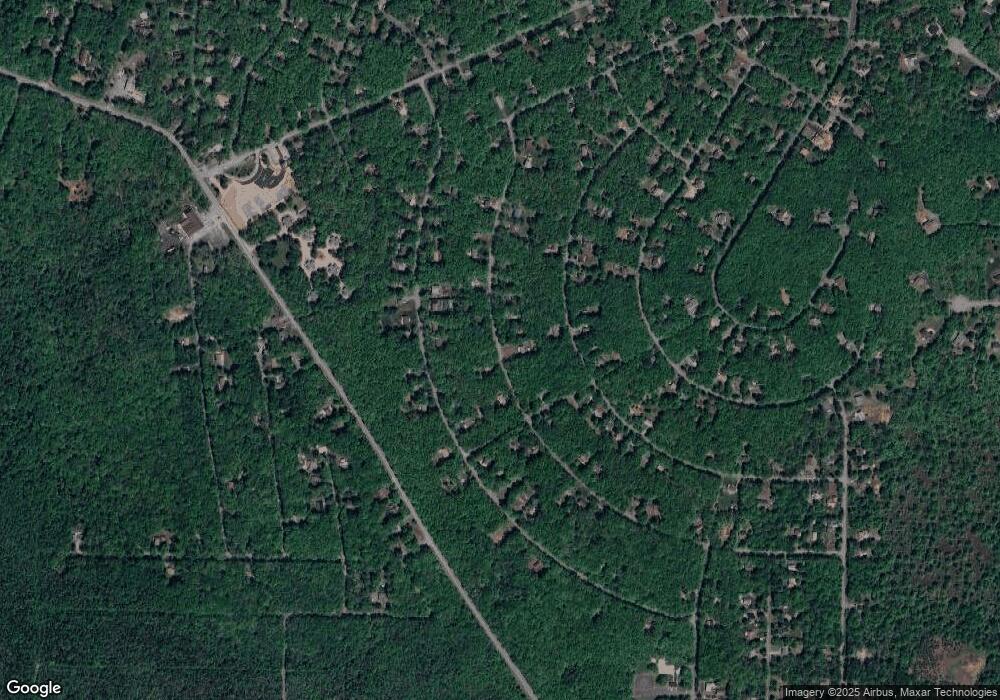
133 Lenape Trail Albrightsville, PA 18210
Estimated Value: $308,868 - $323,000
3
Beds
2
Baths
1,850
Sq Ft
$171/Sq Ft
Est. Value
About This Home
This home is located at 133 Lenape Trail, Albrightsville, PA 18210 and is currently estimated at $315,717, approximately $170 per square foot. 133 Lenape Trail is a home located in Carbon County with nearby schools including Jim Thorpe Area High School.
Ownership History
Date
Name
Owned For
Owner Type
Purchase Details
Closed on
Feb 11, 2009
Sold by
Wells Fargo Bank Na
Bought by
Demshick Jeffrey C and Demshick Meghan L
Current Estimated Value
Home Financials for this Owner
Home Financials are based on the most recent Mortgage that was taken out on this home.
Original Mortgage
$157,985
Outstanding Balance
$99,330
Interest Rate
5%
Mortgage Type
FHA
Estimated Equity
$216,387
Purchase Details
Closed on
Oct 31, 2008
Sold by
Navarro Ana M
Bought by
Wells Fargo Bank Na
Create a Home Valuation Report for This Property
The Home Valuation Report is an in-depth analysis detailing your home's value as well as a comparison with similar homes in the area
Home Values in the Area
Average Home Value in this Area
Purchase History
| Date | Buyer | Sale Price | Title Company |
|---|---|---|---|
| Demshick Jeffrey C | $160,900 | None Available | |
| Wells Fargo Bank Na | $1,587 | None Available |
Source: Public Records
Mortgage History
| Date | Status | Borrower | Loan Amount |
|---|---|---|---|
| Open | Demshick Jeffrey C | $157,985 |
Source: Public Records
Tax History Compared to Growth
Tax History
| Year | Tax Paid | Tax Assessment Tax Assessment Total Assessment is a certain percentage of the fair market value that is determined by local assessors to be the total taxable value of land and additions on the property. | Land | Improvement |
|---|---|---|---|---|
| 2025 | $3,388 | $55,065 | $3,950 | $51,115 |
| 2024 | $3,222 | $55,065 | $3,950 | $51,115 |
| 2023 | $3,181 | $55,065 | $3,950 | $51,115 |
| 2022 | $2,915 | $50,465 | $3,950 | $46,515 |
| 2021 | $2,915 | $50,465 | $3,950 | $46,515 |
| 2020 | $2,915 | $50,465 | $3,950 | $46,515 |
| 2019 | $2,814 | $50,465 | $3,950 | $46,515 |
| 2018 | $2,814 | $50,465 | $3,950 | $46,515 |
| 2017 | $2,814 | $50,465 | $3,950 | $46,515 |
| 2016 | -- | $50,465 | $3,950 | $46,515 |
| 2015 | -- | $50,465 | $3,950 | $46,515 |
| 2014 | -- | $50,465 | $3,950 | $46,515 |
Source: Public Records
Map
Nearby Homes
- 113 Lenape Trail
- A806 Buckhill Rd
- NII1217 Buckhill Rd
- NII1214 Buckhill Rd
- 0 Buckhill Rd Unit PM-121990
- 85 Shawnee Trail
- 0 Mohawk Trail Unit PM-121856
- 922 Mohawk Trail
- 164 Buckhill Rd
- 124 Shawnee Trail Unit 1128
- 92 Shawnee Trail
- 203 Foothill Rd
- 35 Foothill Rd
- 57 Mohawk Trail
- Lot 709A Wintergreen Trail
- 0 White Birch Way Unit PM-131192
- 217 Red Ridge Tr & Foothill Rd Trail
- 9 Pine Tree Rd
- 201 Buckhill Rd
- 431 Sekani Trail
- 728-729 Lenape (Aka 120lenape) Trail
- 606 Lenape Trail
- 123 Lenape Trail
- LOT 633 Section N1 Buckhill Rd
- 132 Buckhill Rd
- 632 N-1 Buck Hill Rd
- 126 Buckhill Rd
- 732 NI Lenape 1weuz688c7nq
- 732 Ni Lenape Trail
- 122 Buckhill Rd
- 121 Lenape Trail
- 4 Foothill Rd
- 118 Buckhill Rd
- 12 Foothill Rd
- 144 Lenape Trail
- 120 Lenape Trail Unit 728 - 729
- 120 Lenape Trail
- 112 Buckhill Rd
- 146 Lenape Trail
- 631 Buckhill Rd
