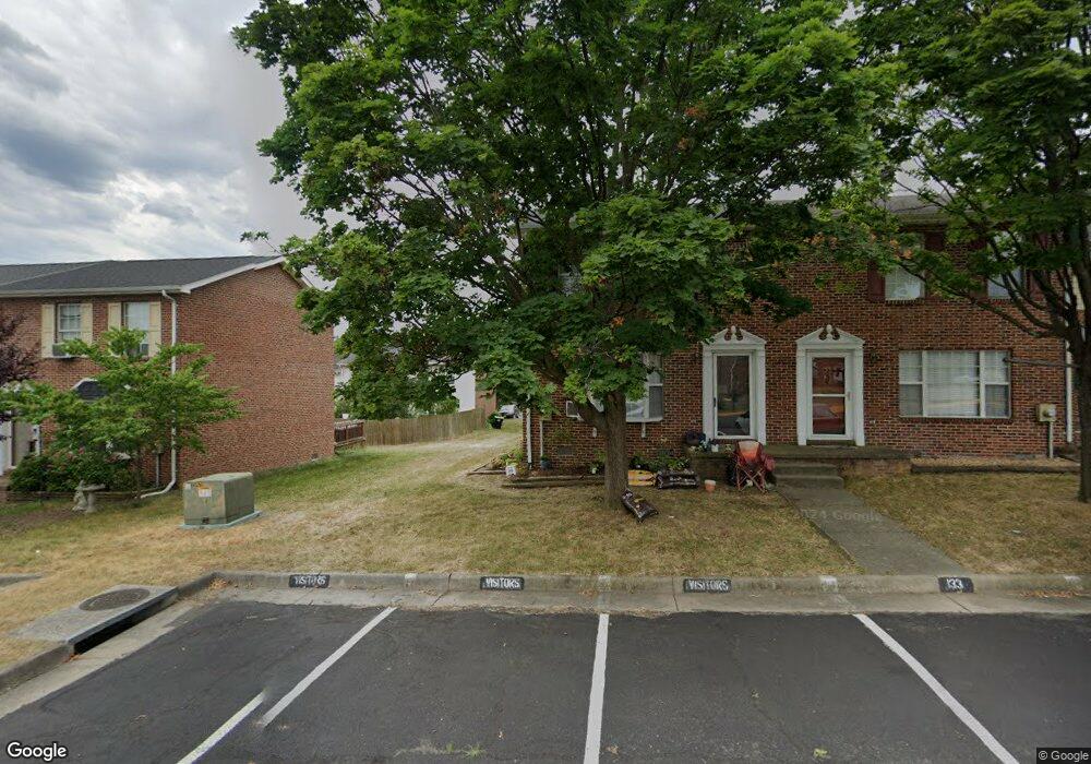
133 Little River Dr Winchester, VA 22602
Estimated Value: $207,000 - $231,000
2
Beds
1
Bath
1,000
Sq Ft
$220/Sq Ft
Est. Value
About This Home
This home is located at 133 Little River Dr, Winchester, VA 22602 and is currently estimated at $219,533, approximately $219 per square foot. 133 Little River Dr is a home located in Frederick County with nearby schools including Redbud Run Elementary School, James Wood Middle School, and Millbrook High School.
Ownership History
Date
Name
Owned For
Owner Type
Purchase Details
Closed on
Dec 29, 2003
Sold by
Subic Gloria
Bought by
Skovira Ronald
Current Estimated Value
Home Financials for this Owner
Home Financials are based on the most recent Mortgage that was taken out on this home.
Original Mortgage
$92,625
Outstanding Balance
$43,647
Interest Rate
6.01%
Mortgage Type
New Conventional
Estimated Equity
$175,886
Create a Home Valuation Report for This Property
The Home Valuation Report is an in-depth analysis detailing your home's value as well as a comparison with similar homes in the area
Home Values in the Area
Average Home Value in this Area
Purchase History
| Date | Buyer | Sale Price | Title Company |
|---|---|---|---|
| Skovira Ronald | $97,500 | -- |
Source: Public Records
Mortgage History
| Date | Status | Borrower | Loan Amount |
|---|---|---|---|
| Open | Skovira Ronald | $92,625 |
Source: Public Records
Tax History Compared to Growth
Tax History
| Year | Tax Paid | Tax Assessment Tax Assessment Total Assessment is a certain percentage of the fair market value that is determined by local assessors to be the total taxable value of land and additions on the property. | Land | Improvement |
|---|---|---|---|---|
| 2025 | $874 | $182,100 | $68,000 | $114,100 |
| 2024 | $371 | $145,400 | $52,000 | $93,400 |
| 2023 | $742 | $145,400 | $52,000 | $93,400 |
| 2022 | $758 | $124,300 | $47,000 | $77,300 |
| 2021 | $758 | $124,300 | $47,000 | $77,300 |
| 2020 | $673 | $110,400 | $42,000 | $68,400 |
| 2019 | $673 | $110,400 | $42,000 | $68,400 |
| 2018 | $617 | $101,200 | $42,000 | $59,200 |
| 2017 | $607 | $101,200 | $42,000 | $59,200 |
| 2016 | $545 | $90,900 | $34,500 | $56,400 |
| 2015 | $509 | $90,900 | $34,500 | $56,400 |
| 2014 | $282 | $87,200 | $34,500 | $52,700 |
Source: Public Records
Map
Nearby Homes
- 109 Jeni Ct
- 105 Worsham Terrace
- 127 Triangle Ct
- 157 Brookland Terrace Unit 11
- Homesite 195 Malbec
- 151 Brookland Terrace Unit 8
- Homesite 191 Malbec
- 159 Williamson Rd
- 107 Malbec Ct
- 107 Malbec Rd
- 5 Williamson Rd
- 3 Williamson Rd
- 4 Williamson Rd
- Homesite 184 Malbec
- 107 Dale Ct
- 115 Dairy Corner Place
- 114 Harold Ct
- 101 Abrams Pointe Blvd
- Melody Plan at Abrams Pointe
- Carlisle Plan at Abrams Pointe
- 135 Little River Dr
- 137 Little River Dr
- 131 Little River Dr
- 139 Little River Dr
- 129 Little River Dr
- 141 Little River Dr
- 127 Little River Dr
- 230 Waterford Ln
- 232 Waterford Ln
- 143 Little River Dr
- 234 Waterford Ln
- 125 Little River Dr
- 228 Waterford Ln
- 236 Waterford Ln
- 226 Waterford Ln
- 145 Little River Dr
- 238 Waterford Ln
- 123 Little River Dr
- 224 Waterford Ln
- 240 Waterford Ln