133 Longshore Dr Kingsland, GA 31548
Estimated Value: $281,572
--
Bed
--
Bath
--
Sq Ft
2.95
Acres
About This Home
This home is located at 133 Longshore Dr, Kingsland, GA 31548 and is currently priced at $281,572. 133 Longshore Dr is a home located in Camden County with nearby schools including Kingsland Elementary School, Camden Middle School, and Camden County High School.
Ownership History
Date
Name
Owned For
Owner Type
Purchase Details
Closed on
Nov 27, 2023
Sold by
Smith Family Homes Llc
Bought by
Cooper Thomas C and Cooper Wendy R
Current Estimated Value
Purchase Details
Closed on
Nov 16, 2023
Sold by
Smith Family Homes Llc
Bought by
Davis Todd
Purchase Details
Closed on
May 10, 2022
Sold by
Jackson Karen A
Bought by
Smith Family Homes Llc
Purchase Details
Closed on
Dec 22, 2020
Sold by
First A National Banking Association
Bought by
Gibbs Karen A
Purchase Details
Closed on
Oct 6, 2020
Sold by
Haire Phillip
Bought by
First A National Banking Association
Create a Home Valuation Report for This Property
The Home Valuation Report is an in-depth analysis detailing your home's value as well as a comparison with similar homes in the area
Home Values in the Area
Average Home Value in this Area
Purchase History
| Date | Buyer | Sale Price | Title Company |
|---|---|---|---|
| Cooper Thomas C | $290,900 | -- | |
| Davis Todd | $310,000 | -- | |
| Smith Family Homes Llc | $70,000 | -- | |
| Gibbs Karen A | $23,000 | -- | |
| First A National Banking Association | $9,600 | -- |
Source: Public Records
Tax History Compared to Growth
Tax History
| Year | Tax Paid | Tax Assessment Tax Assessment Total Assessment is a certain percentage of the fair market value that is determined by local assessors to be the total taxable value of land and additions on the property. | Land | Improvement |
|---|---|---|---|---|
| 2023 | $941 | $26,250 | $26,250 | $0 |
| 2022 | $172 | $4,800 | $4,800 | $0 |
| 2021 | $184 | $4,800 | $4,800 | $0 |
| 2020 | $191 | $4,800 | $4,800 | $0 |
| 2019 | $191 | $4,800 | $4,800 | $0 |
| 2018 | $39 | $4,800 | $4,800 | $0 |
| 2017 | $185 | $4,800 | $4,800 | $0 |
| 2016 | $144 | $4,800 | $4,800 | $0 |
| 2015 | $96 | $2,600 | $2,600 | $0 |
| 2014 | $268 | $7,280 | $7,280 | $0 |
Source: Public Records
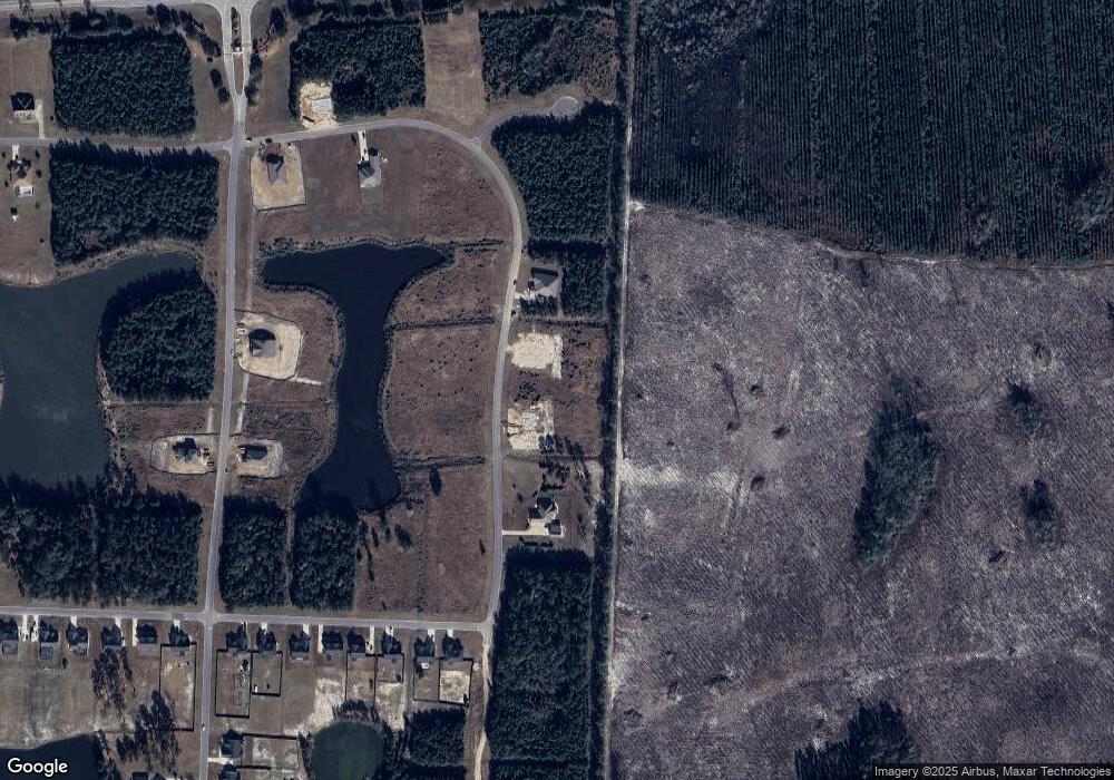
Map
Nearby Homes
- 129 Longshore Dr
- 114 Bowline Ln
- 615 Breakwater Loop
- 102 Oxbow Ct
- L/V 374 Beach Head Ct
- 106 Beach Head Ct
- 120 Bulkhead Dr
- 311 Longshore Dr
- 510 Northshore Dr
- 433 Northshore Dr
- 216 Bulkhead Dr
- 223 Bulkhead Dr
- 229 Bulkhead Dr
- The Athens + Bonus Room Plan at NorthShore - St. Marys River
- The Roswell Plan at NorthShore - St. Marys River
- The Wilmington Plan at NorthShore - St. Marys River
- The Dalton Plan at NorthShore - St. Marys River
- The Camilla Plan at NorthShore - St. Marys River
- The Gwinnett Plan at NorthShore - St. Marys River
- The Brookhaven Plan at NorthShore - St. Marys River
- 137 Longshore Dr
- 141 Longshore Dr
- 0 V L A Port D Port Lts D and E Unit 1586350
- 106 Longshore Dr
- 201 Longshore Dr
- 111 Longshore Dr
- 106 Bowline Ln
- 108 Bowline Ln
- 110 Bowline Ln
- 112 Bowline Ln
- 0 Willies Loop
- 200 Bowline Ln
- 206 Northshore Dr
- 573 Willies Loop
- 213 Longshore Dr
- 560 Willies Loop
- 221 Northshore Dr
- 204 Bowline Ln
- 205 Bowline Ln
- 0 Bowline Ln Unit 26710