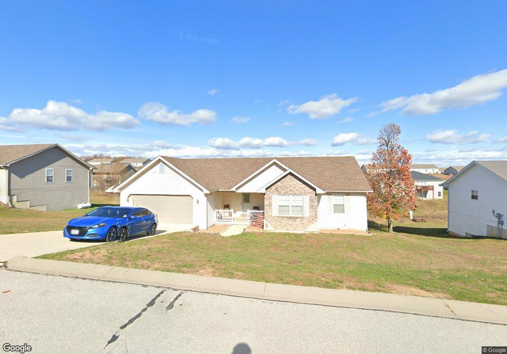
133 Lyle Curtis Cir Waynesville, MO 65583
Estimated Value: $283,000 - $387,000
--
Bed
1
Bath
3,664
Sq Ft
$91/Sq Ft
Est. Value
About This Home
This home is located at 133 Lyle Curtis Cir, Waynesville, MO 65583 and is currently estimated at $334,757, approximately $91 per square foot. 133 Lyle Curtis Cir is a home with nearby schools including Waynesville East Elementary School, Freedom Elementary School, and Waynesville Middle School.
Ownership History
Date
Name
Owned For
Owner Type
Purchase Details
Closed on
Sep 14, 2010
Sold by
Mozark Construcition Llc
Bought by
Wilson Janice D and Wilson Sean A
Current Estimated Value
Home Financials for this Owner
Home Financials are based on the most recent Mortgage that was taken out on this home.
Original Mortgage
$187,000
Outstanding Balance
$123,607
Interest Rate
4.46%
Mortgage Type
VA
Estimated Equity
$211,150
Create a Home Valuation Report for This Property
The Home Valuation Report is an in-depth analysis detailing your home's value as well as a comparison with similar homes in the area
Home Values in the Area
Average Home Value in this Area
Purchase History
| Date | Buyer | Sale Price | Title Company |
|---|---|---|---|
| Wilson Janice D | -- | None Available |
Source: Public Records
Mortgage History
| Date | Status | Borrower | Loan Amount |
|---|---|---|---|
| Open | Wilson Janice D | $187,000 |
Source: Public Records
Tax History Compared to Growth
Tax History
| Year | Tax Paid | Tax Assessment Tax Assessment Total Assessment is a certain percentage of the fair market value that is determined by local assessors to be the total taxable value of land and additions on the property. | Land | Improvement |
|---|---|---|---|---|
| 2024 | $1,888 | $44,634 | $6,270 | $38,364 |
| 2023 | $1,842 | $44,634 | $6,270 | $38,364 |
| 2022 | $1,790 | $43,684 | $5,320 | $38,364 |
| 2021 | $1,771 | $43,684 | $5,320 | $38,364 |
| 2020 | $1,733 | $37,918 | $0 | $0 |
| 2019 | $1,733 | $41,857 | $0 | $0 |
| 2018 | $1,731 | $41,857 | $0 | $0 |
| 2017 | $1,710 | $37,918 | $0 | $0 |
| 2016 | $1,626 | $41,860 | $0 | $0 |
| 2015 | $1,614 | $41,860 | $0 | $0 |
| 2014 | $1,614 | $41,860 | $0 | $0 |
Source: Public Records
Map
Nearby Homes
- 162 Lyle Curtis Cir
- 170 Lyle Curtis Cir
- 9 Dogwood Dr
- 21675 Sable Rd
- 24608 Highway 17
- 127 Jared St
- 24415 Missouri 17
- 128 Jared St
- 21624 Rudolph Rd
- 203 Bobby Dale Dr
- 315 Bobby Dale Dr
- 0 Lot 16 Westwinds S D Unit MAR25013085
- 104 Story St
- 1903 Long Dr
- 25570 17-770e
- 600 Sunset Dr
- 602 Sunset Dr
- 118 Auburn Dr
- 1802 Pearson St
- 114 Pioneer Ct
- 135 Lyle Curtis Cir
- 131 Lyle Curtis Cir
- 103 Mary Catherine
- 132 Lyle Curtis Cir
- 145 Lyle Curtis Cir
- 171 Lyle Curtis Cir
- 125 Mary Catherine St
- 121 Mary Catherine St
- 130 Lyle Curtis Cir
- 137 Lyle Curtis Cir
- 134 Lyle Curtis Cir
- 184 Lyle Curtis Cir
- 129 Lyle Curtis Cir
- 127 Mary Catherine
- 136 Lyle Curtis Cir
- 100 100a 99a 105-108woodland Hills
- 0 Mary Catherine St
- 129 Mary Catherine
- 120 Mary Catherine St
- 107 Lot Uc Woodland Hills