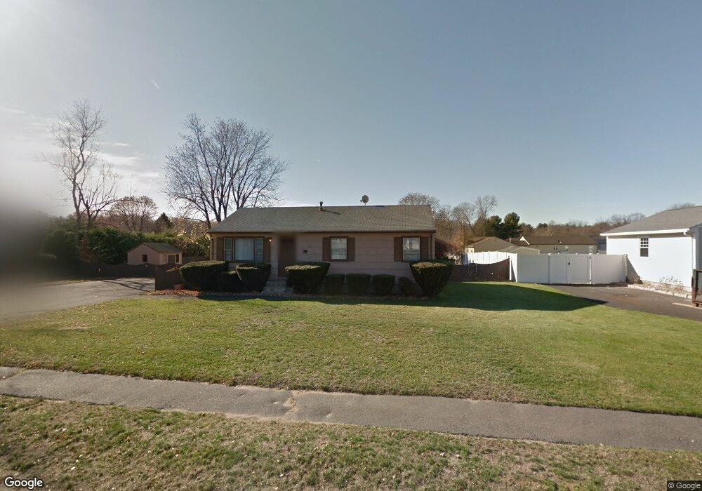
133 Mallard Cir Agawam, MA 01001
Estimated Value: $321,595 - $362,000
3
Beds
1
Bath
960
Sq Ft
$359/Sq Ft
Est. Value
About This Home
This home is located at 133 Mallard Cir, Agawam, MA 01001 and is currently estimated at $344,399, approximately $358 per square foot. 133 Mallard Cir is a home located in Hampden County with nearby schools including Agawam Junior High School, Agawam High School, and St Thomas The Apostle School.
Create a Home Valuation Report for This Property
The Home Valuation Report is an in-depth analysis detailing your home's value as well as a comparison with similar homes in the area
Home Values in the Area
Average Home Value in this Area
Tax History Compared to Growth
Tax History
| Year | Tax Paid | Tax Assessment Tax Assessment Total Assessment is a certain percentage of the fair market value that is determined by local assessors to be the total taxable value of land and additions on the property. | Land | Improvement |
|---|---|---|---|---|
| 2025 | $3,833 | $261,800 | $111,700 | $150,100 |
| 2024 | $3,728 | $256,400 | $111,700 | $144,700 |
| 2023 | $3,423 | $216,900 | $105,900 | $111,000 |
| 2022 | $3,312 | $205,600 | $105,900 | $99,700 |
| 2021 | $3,108 | $185,000 | $91,600 | $93,400 |
| 2020 | $3,041 | $180,700 | $90,000 | $90,700 |
| 2019 | $2,970 | $178,400 | $88,100 | $90,300 |
| 2018 | $2,877 | $173,200 | $88,100 | $85,100 |
| 2017 | $2,779 | $170,400 | $88,100 | $82,300 |
| 2016 | $2,726 | $168,500 | $88,100 | $80,400 |
| 2015 | $2,465 | $156,600 | $76,700 | $79,900 |
Source: Public Records
Map
Nearby Homes
- 47 Butternut Dr
- 36 Cottonwood Ln
- 15 B Castle Hills Rd Unit B
- 13 Castle Hills Rd Unit B
- 6 Castle Hill Rd Unit E
- 7 Castle Hill Rd Unit G
- 48 Cosgrove Ave
- 4H Mapleviewlane Unit 4H
- 35 Birch Hill Rd
- 0 Silver St
- 68 Peros Dr
- 52 Peros Dr
- 23 Peros Dr
- 128 Brookfield Ln
- 795 Main St
- 73 Silver Lake Dr
- 441 Silver St
- 190 Mill St
- 51 Merrell Dr
- 511 Shoemaker Ln