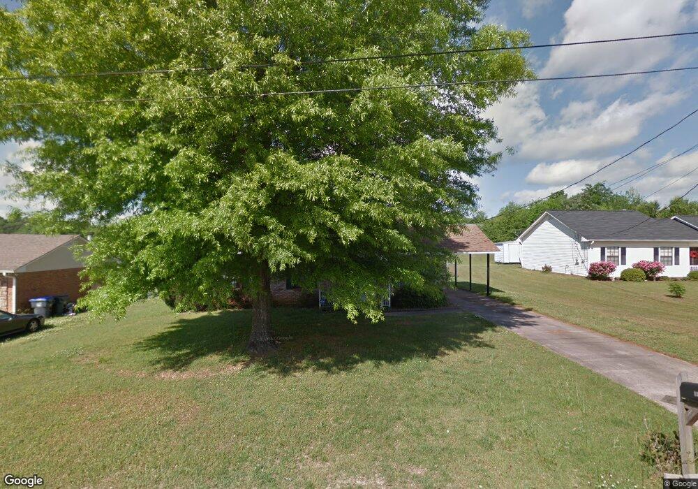
133 Mangrove Dr Alabaster, AL 35007
Estimated Value: $215,968 - $254,000
3
Beds
2
Baths
1,213
Sq Ft
$194/Sq Ft
Est. Value
About This Home
This home is located at 133 Mangrove Dr, Alabaster, AL 35007 and is currently estimated at $235,492, approximately $194 per square foot. 133 Mangrove Dr is a home located in Shelby County with nearby schools including Thompson Intermediate School, Thompson Middle School, and Thompson High School.
Ownership History
Date
Name
Owned For
Owner Type
Purchase Details
Closed on
Oct 29, 2009
Sold by
Mitchell Timothy and Mitchell Jessica Maria
Bought by
Kennedy Sarah K
Current Estimated Value
Home Financials for this Owner
Home Financials are based on the most recent Mortgage that was taken out on this home.
Original Mortgage
$117,826
Outstanding Balance
$76,975
Interest Rate
5.01%
Mortgage Type
FHA
Estimated Equity
$158,517
Purchase Details
Closed on
Sep 26, 2003
Sold by
Jagacki Robert S and Jagacki Bridget M
Bought by
Mitchell Timothy and Mitchell Jessica Maria
Home Financials for this Owner
Home Financials are based on the most recent Mortgage that was taken out on this home.
Original Mortgage
$89,550
Interest Rate
6.75%
Mortgage Type
Unknown
Create a Home Valuation Report for This Property
The Home Valuation Report is an in-depth analysis detailing your home's value as well as a comparison with similar homes in the area
Home Values in the Area
Average Home Value in this Area
Purchase History
| Date | Buyer | Sale Price | Title Company |
|---|---|---|---|
| Kennedy Sarah K | $120,000 | None Available | |
| Mitchell Timothy | $99,500 | -- |
Source: Public Records
Mortgage History
| Date | Status | Borrower | Loan Amount |
|---|---|---|---|
| Open | Kennedy Sarah K | $117,826 | |
| Previous Owner | Mitchell Timothy | $89,550 |
Source: Public Records
Tax History
| Year | Tax Paid | Tax Assessment Tax Assessment Total Assessment is a certain percentage of the fair market value that is determined by local assessors to be the total taxable value of land and additions on the property. | Land | Improvement |
|---|---|---|---|---|
| 2024 | $966 | $17,880 | $0 | $0 |
| 2023 | $913 | $17,660 | $0 | $0 |
| 2022 | $823 | $16,000 | $0 | $0 |
| 2021 | $699 | $13,700 | $0 | $0 |
| 2020 | $638 | $12,580 | $0 | $0 |
| 2019 | $588 | $11,640 | $0 | $0 |
| 2017 | $512 | $10,240 | $0 | $0 |
| 2015 | $495 | $9,920 | $0 | $0 |
| 2014 | $487 | $9,780 | $0 | $0 |
Source: Public Records
Map
Nearby Homes
- 116 Palm Dr
- 144 Palm Dr
- 521 13th St SW
- 120 Sterling Gate Dr
- 1531 Applegate Ln
- 316 Sterling Manor Cir
- 1557 Applegate Ln
- 217 Kensington Ln
- 412 10th St SW
- 280 Cedar Grove Pkwy
- 10589 Highway 119
- 208 10th St SW
- 309 Cedar Grove Ct
- 537 Ramsgate Dr
- 305 Cedar Grove Ct
- 549 Ramsgate Dr
- 545 Ramsgate Dr
- 544 Ramsgate Dr
- 312 Cornwall Dr
- 95 9th St NW
- 129 Mangrove Dr
- 137 Mangrove Dr
- 125 Mangrove Dr
- 141 Mangrove Dr
- 136 Mangrove Dr
- 133 Bluegrass Dr
- 132 Mangrove Dr
- 128 Mangrove Dr
- 129 Bluegrass Dr
- 121 Mangrove Dr
- 137 Bluegrass Dr
- 124 Mangrove Dr
- 125 Bluegrass Dr
- 120 Mangrove Dr
- 140 Mangrove Dr
- 141 Bluegrass Dr
- 121 Bluegrass Dr
- 117 Mangrove Dr
- 116 Mangrove Dr
- 144 Mangrove Dr
Your Personal Tour Guide
Ask me questions while you tour the home.