133 Mapo Hollow Rd Bangor, PA 18013
Upper Mount Bethel Township NeighborhoodEstimated Value: $297,208 - $529,000
3
Beds
3
Baths
1,456
Sq Ft
$262/Sq Ft
Est. Value
About This Home
This home is located at 133 Mapo Hollow Rd, Bangor, PA 18013 and is currently estimated at $381,802, approximately $262 per square foot. 133 Mapo Hollow Rd is a home located in Northampton County with nearby schools including Bangor Area High School.
Ownership History
Date
Name
Owned For
Owner Type
Purchase Details
Closed on
Mar 15, 2018
Sold by
Donatelli Lewis L
Bought by
Donatelli Lewis L and Donatelli Pamela J
Current Estimated Value
Home Financials for this Owner
Home Financials are based on the most recent Mortgage that was taken out on this home.
Original Mortgage
$114,875
Outstanding Balance
$97,220
Interest Rate
3.87%
Mortgage Type
FHA
Estimated Equity
$284,582
Purchase Details
Closed on
Apr 1, 1998
Bought by
Donatelli Lewis L
Purchase Details
Closed on
Jan 1, 1992
Bought by
Not Provided
Create a Home Valuation Report for This Property
The Home Valuation Report is an in-depth analysis detailing your home's value as well as a comparison with similar homes in the area
Home Values in the Area
Average Home Value in this Area
Purchase History
| Date | Buyer | Sale Price | Title Company |
|---|---|---|---|
| Donatelli Lewis L | -- | None Available | |
| Donatelli Lewis L | -- | -- | |
| Not Provided | $600 | -- |
Source: Public Records
Mortgage History
| Date | Status | Borrower | Loan Amount |
|---|---|---|---|
| Open | Donatelli Lewis L | $114,875 |
Source: Public Records
Tax History Compared to Growth
Tax History
| Year | Tax Paid | Tax Assessment Tax Assessment Total Assessment is a certain percentage of the fair market value that is determined by local assessors to be the total taxable value of land and additions on the property. | Land | Improvement |
|---|---|---|---|---|
| 2025 | $570 | $52,800 | $12,900 | $39,900 |
| 2024 | $4,021 | $52,800 | $12,900 | $39,900 |
| 2023 | $3,995 | $52,800 | $12,900 | $39,900 |
| 2022 | $3,889 | $52,800 | $12,900 | $39,900 |
| 2021 | $3,942 | $52,800 | $12,900 | $39,900 |
| 2020 | $3,942 | $52,800 | $12,900 | $39,900 |
| 2019 | $3,886 | $52,800 | $12,900 | $39,900 |
| 2018 | $3,857 | $52,800 | $12,900 | $39,900 |
| 2017 | $3,776 | $52,800 | $12,900 | $39,900 |
| 2016 | -- | $52,800 | $12,900 | $39,900 |
| 2015 | -- | $52,800 | $12,900 | $39,900 |
| 2014 | -- | $52,800 | $12,900 | $39,900 |
Source: Public Records
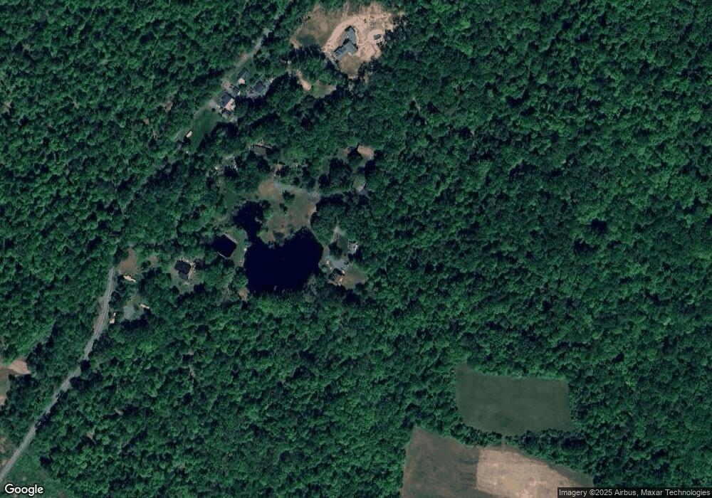
Map
Nearby Homes
- 270 Lake Minsi Dr
- 1879 Valley View Dr
- 377 Institute Dr
- 544 Poplar Valley Rd W
- 2324 Lake Minsi Dr
- 1855 Ridge Rd
- 92 Creek Rd
- 603 Shawnee St
- 234 W Central Ave
- 1553 Middle Rd
- 602 Shawnee St
- 0 Garibaldi Ave Unit PM-119447
- 216 Blaine St
- 520 Calviero Ct
- 6 Dante St
- 132 Lillian Ln
- 86 Garibaldi Ave
- 13 Johnsonville Rd
- 120 Front St
- 98 Jacoby Run Rd
- 127 Mapo Hollow Rd
- 145 Mapo Hollow Rd
- 108 Mapo Hollow Rd
- 150 Mapo Hollow Rd
- 5 Mapo Hollow Rd
- 84 Mapo Hollow Rd
- 76 Mapo Hollow Rd
- 0 Mapo Hollow Rd
- 587 Persimmon Ln
- 565 Persimmon Ln
- 601 Persimmon Ln
- 653 Persimmon Ln
- 0 Persimmon Ln Unit PM-34919
- 0 Persimmon Ln
- 475 Persimmon Ln
- 723 Persimmon Ln
- 412 Stone Row Ln
- 439 Persimmon Ln
- 781 Persimmon Ln
- 336 Persimmon Ln