133 Mayhew Rd Starks, ME 04911
Estimated Value: $197,000 - $244,104
Studio
--
Bath
--
Sq Ft
6,229,080
Sq Ft Lot
About This Home
This home is located at 133 Mayhew Rd, Starks, ME 04911 and is currently estimated at $221,526. 133 Mayhew Rd is a home with nearby schools including Madison Area Memorial High School.
Ownership History
Date
Name
Owned For
Owner Type
Purchase Details
Closed on
Jun 6, 2017
Sold by
Gaeta Lorraine
Bought by
Gaeta Lorraine and Gaeta William
Current Estimated Value
Home Financials for this Owner
Home Financials are based on the most recent Mortgage that was taken out on this home.
Original Mortgage
$100,732
Interest Rate
3.97%
Mortgage Type
FHA
Create a Home Valuation Report for This Property
The Home Valuation Report is an in-depth analysis detailing your home's value as well as a comparison with similar homes in the area
Purchase History
| Date | Buyer | Sale Price | Title Company |
|---|---|---|---|
| Gaeta Lorraine | -- | -- |
Source: Public Records
Mortgage History
| Date | Status | Borrower | Loan Amount |
|---|---|---|---|
| Closed | Gaeta Lorraine | $100,732 |
Source: Public Records
Tax History
| Year | Tax Paid | Tax Assessment Tax Assessment Total Assessment is a certain percentage of the fair market value that is determined by local assessors to be the total taxable value of land and additions on the property. | Land | Improvement |
|---|---|---|---|---|
| 2024 | $2,587 | $179,660 | $72,120 | $107,540 |
| 2023 | $2,506 | $179,660 | $72,120 | $107,540 |
| 2022 | $2,282 | $179,660 | $72,120 | $107,540 |
| 2021 | $2,481 | $179,660 | $72,120 | $107,540 |
| 2020 | $2,830 | $179,660 | $72,120 | $107,540 |
| 2019 | $2,792 | $149,720 | $60,100 | $89,620 |
| 2018 | $2,635 | $149,720 | $60,100 | $89,620 |
| 2017 | $2,508 | $149,720 | $60,100 | $89,620 |
| 2016 | $2,363 | $121,200 | $49,500 | $71,700 |
| 2015 | $2,424 | $121,200 | $49,500 | $71,700 |
| 2014 | $2,363 | $121,200 | $49,500 | $71,700 |
| 2013 | $2,394 | $121,200 | $49,500 | $71,700 |
Source: Public Records
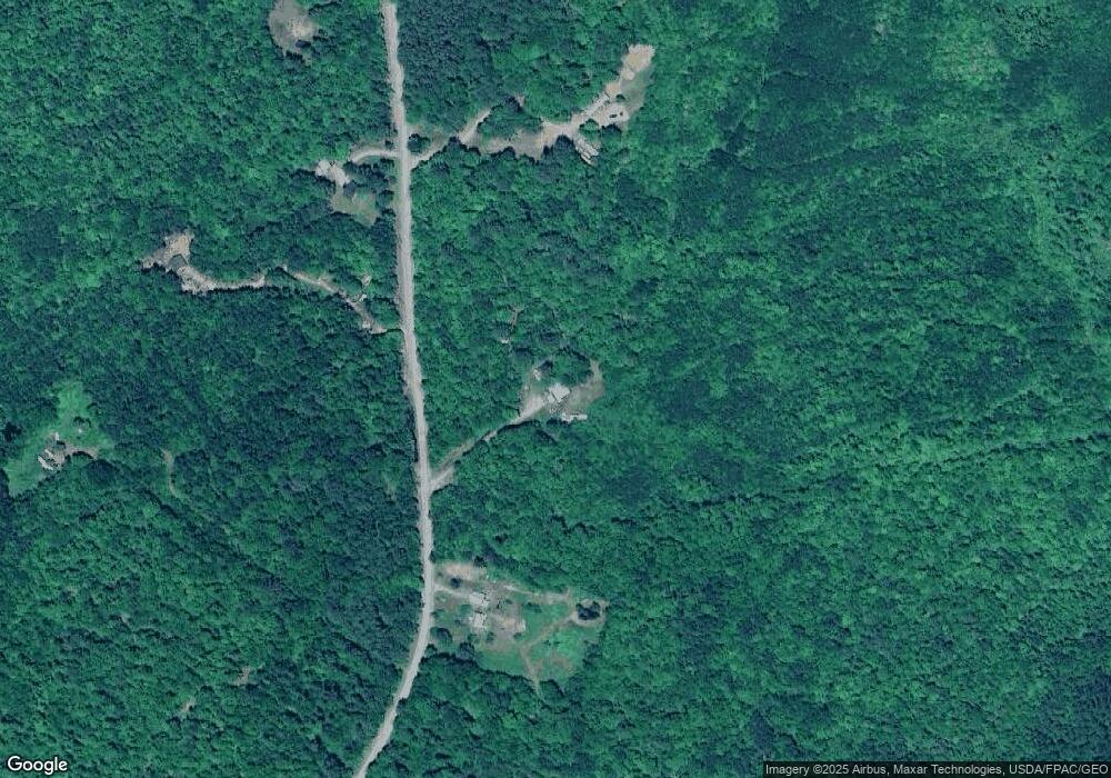
Map
Nearby Homes
- 1.3 Mayhew Rd
- map6 lot1 Mayhew Rd
- Map6 lot2 Mayhew Rd
- 8 Magnolia Ln
- 17 Anson Rd
- 1648 New Sharon Rd
- 300 Locke Hill Rd
- 012-002 W Mill Rd
- 735 Sandy River Rd
- 78 Fording Rd
- 510 Branns Mill Rd
- 199 Elm St
- Lot 2-1 Father Rasle Rd
- Lot 2 Father Rasle Rd
- 6 Myrtle St
- 95 Main St
- 88 Pine St
- 8 Preble Ave
- 83 Preble Ave
- 8 Spring St
- 119 Mayhew Rd
- 152 Mayhew Rd
- 182 Mayhew Rd
- 226 Mayhew Rd
- Lot 12 Mayhew Rd
- 180 Mayhew Rd
- 181 Mayhew Rd
- Lot 13 Mayhew Rd
- 203 Mayhew Rd
- 63 Mayhew Rd
- 164 Mayhew Rd
- 61 Mayhew Rd
- 242 Mayhew Rd
- 40 Mayhew Rd
- 256 Mayhew Rd
- MR7 L10.3 Mayhew Rd
- lot 17 Mayhew Rd
- lot 15 Mayhew Rd
- 203 Sawyers Mills Rd
- 253 Mayhew Rd
Your Personal Tour Guide
Ask me questions while you tour the home.