133 Maynard Farm Rd Sudbury, MA 01776
Estimated Value: $1,204,227 - $1,440,000
4
Beds
3
Baths
2,500
Sq Ft
$517/Sq Ft
Est. Value
About This Home
This home is located at 133 Maynard Farm Rd, Sudbury, MA 01776 and is currently estimated at $1,292,807, approximately $517 per square foot. 133 Maynard Farm Rd is a home located in Middlesex County with nearby schools including Josiah Haynes Elementary School, Ephraim Curtis Middle School, and Lincoln-Sudbury Regional High School.
Ownership History
Date
Name
Owned For
Owner Type
Purchase Details
Closed on
Jun 26, 1992
Sold by
Edgar William H and Edgar Linda K
Bought by
Rautiola Ross M
Current Estimated Value
Create a Home Valuation Report for This Property
The Home Valuation Report is an in-depth analysis detailing your home's value as well as a comparison with similar homes in the area
Home Values in the Area
Average Home Value in this Area
Purchase History
| Date | Buyer | Sale Price | Title Company |
|---|---|---|---|
| Rautiola Ross M | $309,000 | -- |
Source: Public Records
Tax History Compared to Growth
Tax History
| Year | Tax Paid | Tax Assessment Tax Assessment Total Assessment is a certain percentage of the fair market value that is determined by local assessors to be the total taxable value of land and additions on the property. | Land | Improvement |
|---|---|---|---|---|
| 2025 | $15,852 | $1,082,800 | $504,200 | $578,600 |
| 2024 | $15,292 | $1,046,700 | $489,800 | $556,900 |
| 2023 | $14,270 | $904,900 | $437,800 | $467,100 |
| 2022 | $14,146 | $783,700 | $401,800 | $381,900 |
| 2021 | $13,605 | $722,500 | $401,800 | $320,700 |
| 2020 | $13,330 | $722,500 | $401,800 | $320,700 |
| 2019 | $12,940 | $722,500 | $401,800 | $320,700 |
| 2018 | $12,913 | $720,200 | $427,400 | $292,800 |
| 2017 | $12,663 | $713,800 | $423,800 | $290,000 |
| 2016 | $12,273 | $689,500 | $407,800 | $281,700 |
| 2015 | $11,832 | $672,300 | $396,200 | $276,100 |
| 2014 | $11,813 | $655,200 | $384,600 | $270,600 |
Source: Public Records
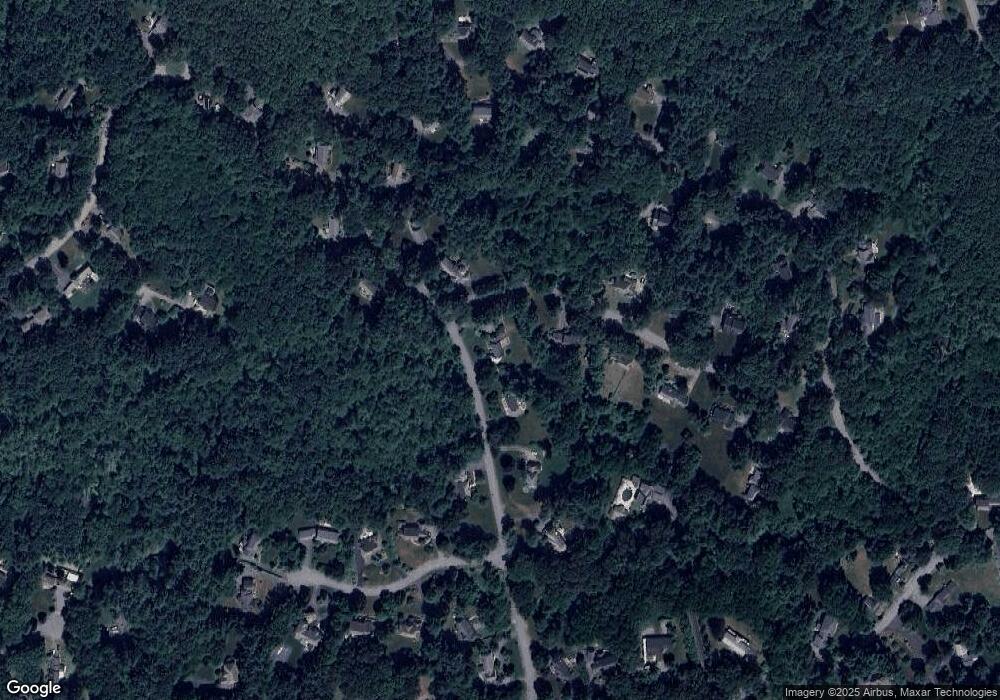
Map
Nearby Homes
- 67 Powder Mill Rd
- 369 Border Rd
- 16 Blacksmith Dr
- 29 Black Birch Ln Unit 29
- 57 Longfellow Rd
- 589 North Rd
- 9 Black Birch Ln Unit 9
- 96 Forest Ridge Rd Unit 96
- 42 Dakin Rd
- 5 Oak Ridge Dr Unit 7
- 10 Oak Ridge Dr Unit 5
- 2 & 6 Powder Mill Rd
- 80 N Branch Rd
- 69 Powder Mill Rd
- 22 Garfield Ave
- 5 Hayes St Unit 5
- 250 Great Rd
- 1 Maillet Dr
- 66 Powder Mill Rd
- 15 Arthur St Unit 15
- 143 Maynard Farm Rd
- 31 Deer Pond Rd
- 123 Maynard Farm Rd
- 123 Maynard Farm Rd Unit 123
- 23 Deer Pond Rd
- 148 Maynard Farm Rd
- 149 Maynard Farm Rd
- 119 Maynard Farm Rd
- 28 Deer Pond Rd
- 126 Maynard Farm Rd
- 20 Deer Pond Rd
- 17 Deer Pond Rd
- 118 Maynard Farm Rd
- 109 Maynard Farm Rd
- 8 Maynard Farm Cir
- 157 Maynard Farm Rd
- 61 Maynard Farm Rd
- 73 Maynard Farm Rd
- 16 Maynard Farm Cir
- 83 Maynard Farm Rd