133 Mccrary Dr Macon, GA 31211
Estimated Value: $93,000 - $172,000
Studio
2
Baths
1,312
Sq Ft
$99/Sq Ft
Est. Value
About This Home
This home is located at 133 Mccrary Dr, Macon, GA 31211 and is currently estimated at $129,635, approximately $98 per square foot. 133 Mccrary Dr is a home located in Jones County with nearby schools including Mattie Wells Elementary School, Clifton Ridge Middle School, and Jones County High School.
Ownership History
Date
Name
Owned For
Owner Type
Purchase Details
Closed on
Dec 6, 2023
Sold by
Jones Rhonda M
Bought by
Williams Charles
Current Estimated Value
Home Financials for this Owner
Home Financials are based on the most recent Mortgage that was taken out on this home.
Original Mortgage
$99,750
Outstanding Balance
$97,818
Interest Rate
7.44%
Mortgage Type
New Conventional
Estimated Equity
$31,817
Purchase Details
Closed on
Apr 30, 2015
Sold by
Greely Bertha Marie Lester
Bought by
Jones Rhonda M and Stephens Theresa D
Create a Home Valuation Report for This Property
The Home Valuation Report is an in-depth analysis detailing your home's value as well as a comparison with similar homes in the area
Purchase History
| Date | Buyer | Sale Price | Title Company |
|---|---|---|---|
| Williams Charles | $105,000 | -- | |
| Jones Rhonda M | -- | -- |
Source: Public Records
Mortgage History
| Date | Status | Borrower | Loan Amount |
|---|---|---|---|
| Open | Williams Charles | $99,750 |
Source: Public Records
Tax History
| Year | Tax Paid | Tax Assessment Tax Assessment Total Assessment is a certain percentage of the fair market value that is determined by local assessors to be the total taxable value of land and additions on the property. | Land | Improvement |
|---|---|---|---|---|
| 2025 | $1,313 | $40,033 | $5,190 | $34,843 |
| 2023 | $866 | $24,394 | $3,832 | $20,562 |
| 2022 | $876 | $24,394 | $3,832 | $20,562 |
| 2021 | $877 | $24,394 | $3,832 | $20,562 |
| 2020 | $878 | $24,394 | $3,832 | $20,562 |
| 2019 | $878 | $24,394 | $3,832 | $20,562 |
| 2018 | $878 | $24,394 | $3,832 | $20,562 |
| 2017 | $878 | $24,394 | $3,832 | $20,562 |
| 2016 | $878 | $24,394 | $3,832 | $20,562 |
| 2015 | $266 | $24,394 | $3,832 | $20,562 |
| 2014 | $220 | $24,394 | $3,832 | $20,562 |
Source: Public Records
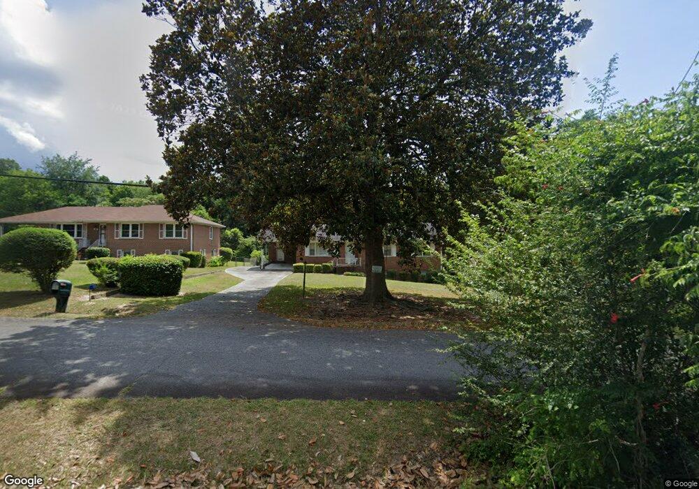
Map
Nearby Homes
- 155 Alton Rd
- 131 Sun Valley Dr
- 240 Neptune Ct
- 2815 New Clinton Rd
- 1030 Sun Valley Ct Unit C55
- 1030 Sun Valley Ct
- 1034 Sun Valley Ct Unit C56
- 1034 Sun Valley Ct
- 168 Ruby Dr
- 1038 Sun Valley Ct Unit C57
- 1038 Sun Valley Ct
- 687 Jasmine Dr
- 118 Oakwood Dr
- 0 Shady Road Plaza
- 132 Spradley Dr
- 3462 Joycliff Rd
- 227 Dusty Ln
- 2675 Pauladale Dr
- 2639 Tredway Dr
- 2630 Pauladale Dr
- 137 Mccrary Dr
- 131 Mccrary Dr
- 139 Mccrary Dr
- 127 Mccrary Dr
- 134 Arlethia Dr
- 130 Mccrary Dr
- 136 Arlethia Dr Unit 79
- 125 Mccrary Dr
- 2904 New Clinton Rd
- 128 Arlethia Dr
- 124 Arlethia Dr
- 121 Mccrary Dr
- 2896 New Clinton Rd
- 0 Confederate Drive Luke Smith Unit M139616
- 109 Alton Rd
- 120 Arlethia Dr
- 2892 New Clinton Rd
- 115 Alton Rd
- 119 Mccrary Dr
- 105 Alton Rd
Your Personal Tour Guide
Ask me questions while you tour the home.