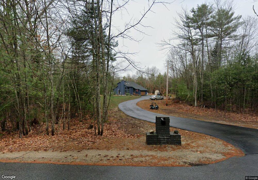
133 Milt Brown Rd Standish, ME 04084
Estimated Value: $396,000 - $458,000
3
Beds
2
Baths
1,440
Sq Ft
$299/Sq Ft
Est. Value
About This Home
This home is located at 133 Milt Brown Rd, Standish, ME 04084 and is currently estimated at $430,686, approximately $299 per square foot. 133 Milt Brown Rd is a home located in Cumberland County with nearby schools including Bonny Eagle High School.
Ownership History
Date
Name
Owned For
Owner Type
Purchase Details
Closed on
Aug 7, 2008
Sold by
Bouchey Alan R and Bouchey Janine
Bought by
Morelli Anthony W
Current Estimated Value
Home Financials for this Owner
Home Financials are based on the most recent Mortgage that was taken out on this home.
Original Mortgage
$259,500
Interest Rate
6.49%
Mortgage Type
Unknown
Purchase Details
Closed on
Aug 6, 2008
Sold by
Bouchey Alan R
Bought by
Bouchey Alan R and Bouchey Janine F
Home Financials for this Owner
Home Financials are based on the most recent Mortgage that was taken out on this home.
Original Mortgage
$259,500
Interest Rate
6.49%
Mortgage Type
Unknown
Create a Home Valuation Report for This Property
The Home Valuation Report is an in-depth analysis detailing your home's value as well as a comparison with similar homes in the area
Home Values in the Area
Average Home Value in this Area
Purchase History
| Date | Buyer | Sale Price | Title Company |
|---|---|---|---|
| Morelli Anthony W | -- | -- | |
| Bouchey Alan R | -- | -- |
Source: Public Records
Mortgage History
| Date | Status | Borrower | Loan Amount |
|---|---|---|---|
| Open | Bouchey Alan R | $265,000 | |
| Closed | Bouchey Alan R | $261,100 | |
| Closed | Bouchey Alan R | $259,500 |
Source: Public Records
Tax History Compared to Growth
Tax History
| Year | Tax Paid | Tax Assessment Tax Assessment Total Assessment is a certain percentage of the fair market value that is determined by local assessors to be the total taxable value of land and additions on the property. | Land | Improvement |
|---|---|---|---|---|
| 2024 | $3,595 | $285,300 | $68,700 | $216,600 |
| 2023 | $3,368 | $243,200 | $58,200 | $185,000 |
| 2022 | $3,133 | $216,800 | $52,100 | $164,700 |
| 2021 | $3,072 | $204,800 | $47,800 | $157,000 |
| 2019 | $2,897 | $202,600 | $45,600 | $157,000 |
| 2018 | $2,756 | $198,300 | $41,300 | $157,000 |
| 2017 | $2,627 | $198,300 | $41,300 | $157,000 |
| 2016 | $2,542 | $198,300 | $41,300 | $157,000 |
| 2015 | $2,536 | $198,300 | $41,300 | $157,000 |
| 2013 | -- | $198,300 | $41,300 | $157,000 |
Source: Public Records
Map
Nearby Homes
- 3 Lincoln Trail
- 1044 Ossipee Trail W
- 10 Chase Mill Rd
- 9 Holiday Ln
- 21 Holiday Ln
- 31 Dorothy Dr
- 78 Ossipee Trail
- 21 Deer Hill Ave
- 541 Cape Rd
- Lot 8 Pelletier Dr
- Lot 10 Pelletier Dr
- 7 Pelletier Dr
- 471 Sokokis Ave
- 324 Ossipee Trail W Unit 2
- 8 Maplewood Dr
- 221 Job Rd
- 9 Macie Dr
- 17 Spruce Ln
- 584 Sokokis Ave
- 580 Bonny Eagle Rd