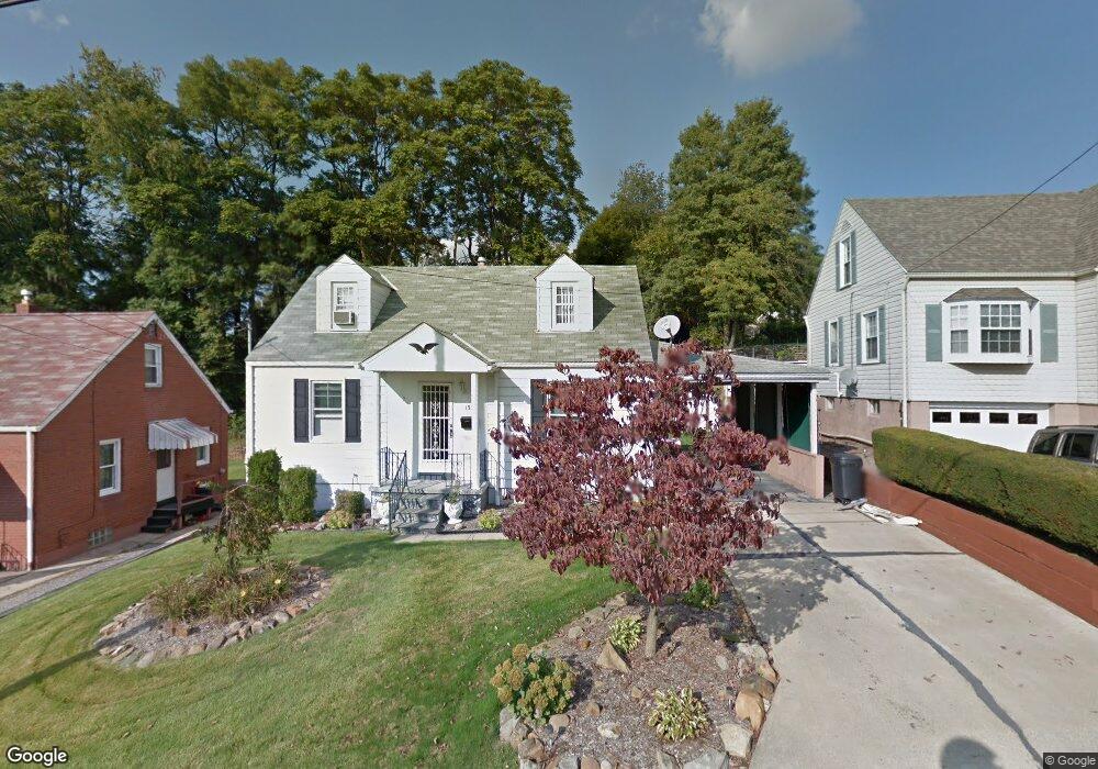
133 Mohawk Dr New Kensington, PA 15068
Estimated Value: $52,208 - $131,000
--
Bed
--
Bath
888
Sq Ft
$118/Sq Ft
Est. Value
About This Home
This home is located at 133 Mohawk Dr, New Kensington, PA 15068 and is currently estimated at $104,802, approximately $118 per square foot. 133 Mohawk Dr is a home located in Westmoreland County with nearby schools including Mary Queen of Apostles School.
Ownership History
Date
Name
Owned For
Owner Type
Purchase Details
Closed on
Dec 27, 2007
Sold by
Novick Rose Mary
Bought by
Laugherty Sandra L
Current Estimated Value
Home Financials for this Owner
Home Financials are based on the most recent Mortgage that was taken out on this home.
Original Mortgage
$67,000
Outstanding Balance
$42,314
Interest Rate
6.17%
Mortgage Type
Purchase Money Mortgage
Estimated Equity
$62,488
Create a Home Valuation Report for This Property
The Home Valuation Report is an in-depth analysis detailing your home's value as well as a comparison with similar homes in the area
Home Values in the Area
Average Home Value in this Area
Purchase History
| Date | Buyer | Sale Price | Title Company |
|---|---|---|---|
| Laugherty Sandra L | $67,000 | None Available |
Source: Public Records
Mortgage History
| Date | Status | Borrower | Loan Amount |
|---|---|---|---|
| Open | Laugherty Sandra L | $67,000 |
Source: Public Records
Tax History Compared to Growth
Tax History
| Year | Tax Paid | Tax Assessment Tax Assessment Total Assessment is a certain percentage of the fair market value that is determined by local assessors to be the total taxable value of land and additions on the property. | Land | Improvement |
|---|---|---|---|---|
| 2025 | $2,247 | $13,130 | $4,310 | $8,820 |
| 2024 | $2,227 | $13,130 | $4,310 | $8,820 |
| 2023 | $2,116 | $13,130 | $4,310 | $8,820 |
| 2022 | $2,056 | $13,130 | $4,310 | $8,820 |
| 2021 | $2,012 | $13,130 | $4,310 | $8,820 |
| 2020 | $1,973 | $13,130 | $4,310 | $8,820 |
| 2019 | $1,966 | $13,130 | $4,310 | $8,820 |
| 2018 | $1,940 | $13,130 | $4,310 | $8,820 |
| 2017 | $1,940 | $13,130 | $4,310 | $8,820 |
| 2016 | $1,940 | $13,130 | $4,310 | $8,820 |
| 2015 | $1,940 | $13,130 | $4,310 | $8,820 |
| 2014 | $1,873 | $13,130 | $4,310 | $8,820 |
Source: Public Records
Map
Nearby Homes
- 344 Iroquois Dr
- 2030 Kimball Ave
- 381 Camp Ave
- 438 Esther Ave
- 2105 Victoria Ave
- 2004 Woodmont Ave
- 2004 Victoria Ave
- 2108 Hollingsworth St
- 170 Esther Ave
- 2112 Kenneth Ave
- 1407 Drey St Unit 29
- 2016 Kenneth Ave
- 1908 Woodmont Ave Unit 29
- 1915 Woodmont Ave
- 648 Earl Ave
- 2015 Kenneth Ave
- 1919 Victoria Ave
- 1810 Ridge Ave
- 2014 Constitution Blvd
- 1802 Kimball Ave