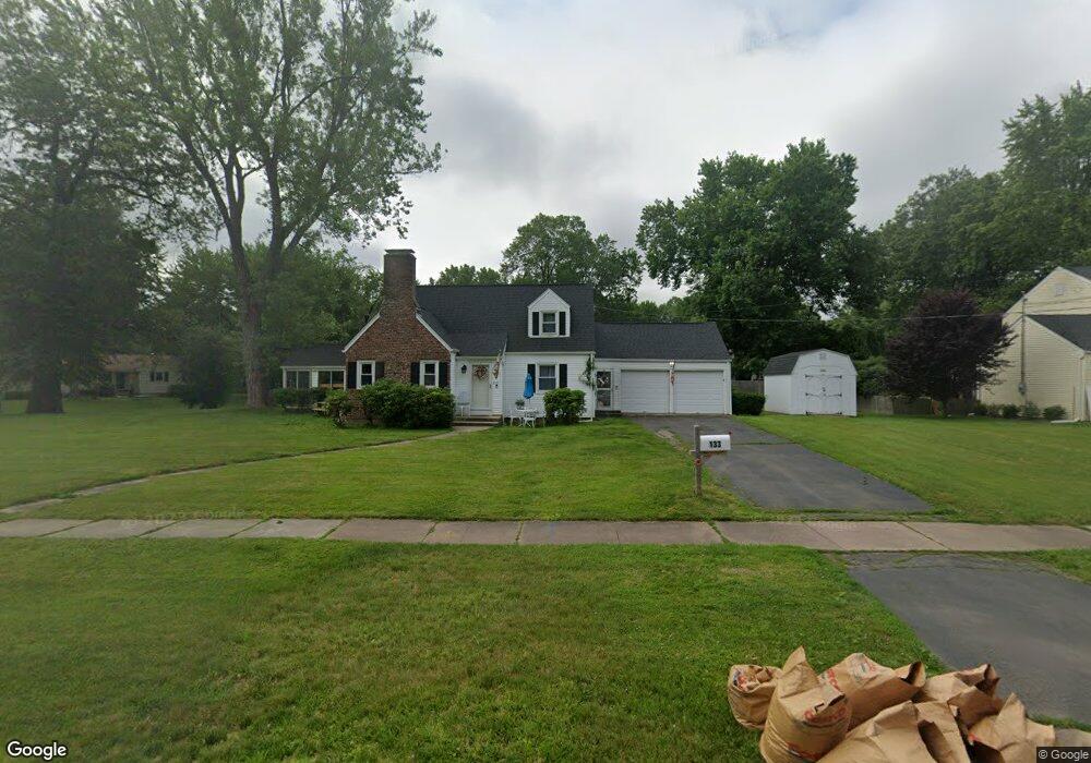
133 Mohawk Dr West Hartford, CT 06117
Estimated Value: $474,083 - $495,000
2
Beds
3
Baths
1,576
Sq Ft
$305/Sq Ft
Est. Value
About This Home
This home is located at 133 Mohawk Dr, West Hartford, CT 06117 and is currently estimated at $480,771, approximately $305 per square foot. 133 Mohawk Dr is a home located in Hartford County with nearby schools including Aiken School, King Philip Middle School, and Delta High School.
Create a Home Valuation Report for This Property
The Home Valuation Report is an in-depth analysis detailing your home's value as well as a comparison with similar homes in the area
Home Values in the Area
Average Home Value in this Area
Tax History Compared to Growth
Tax History
| Year | Tax Paid | Tax Assessment Tax Assessment Total Assessment is a certain percentage of the fair market value that is determined by local assessors to be the total taxable value of land and additions on the property. | Land | Improvement |
|---|---|---|---|---|
| 2025 | $9,504 | $212,240 | $76,930 | $135,310 |
| 2024 | $8,988 | $212,240 | $76,930 | $135,310 |
| 2023 | $8,685 | $212,240 | $76,930 | $135,310 |
| 2022 | $8,634 | $212,240 | $76,930 | $135,310 |
| 2021 | $7,815 | $184,240 | $69,230 | $115,010 |
| 2020 | $7,324 | $175,210 | $61,810 | $113,400 |
| 2019 | $7,324 | $175,210 | $61,810 | $113,400 |
| 2018 | $7,184 | $175,210 | $61,810 | $113,400 |
| 2017 | $7,196 | $175,350 | $61,810 | $113,540 |
| 2016 | $6,701 | $169,610 | $55,860 | $113,750 |
| 2015 | $6,498 | $169,610 | $55,860 | $113,750 |
| 2014 | $6,338 | $169,610 | $55,860 | $113,750 |
Source: Public Records
Map
Nearby Homes
- 139 Mohawk Dr
- 148 King Philip Dr
- 3 Pilgrim Rd
- 11 Lawler Rd
- 9 Timberwood Rd
- 50 Magnolia Hill
- 62 Blue Ridge Ln
- 320 N Steele Rd
- 2581 Albany Ave
- 47 Flagg Rd
- 1993 Albany Ave
- 11 Rye Ridge Pkwy
- 5 Adams Ln
- 1272 Trout Brook Dr
- 5 Northmoor Rd
- 111 Bloomfield Ave
- 165 Bloomfield Ave
- 21 Barksdale Rd
- 2 Croydon Dr
- 115 Northbrook Dr