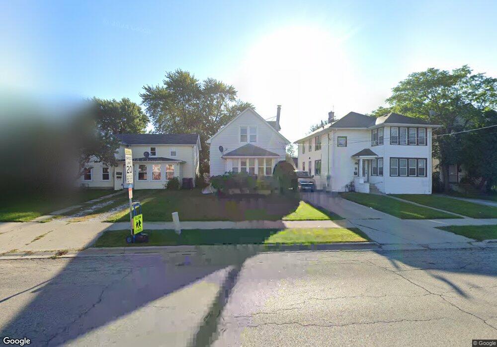
133 N Butrick St Waukegan, IL 60085
Cornelia Manor NeighborhoodEstimated Value: $178,000 - $222,000
3
Beds
2
Baths
1,155
Sq Ft
$182/Sq Ft
Est. Value
About This Home
This home is located at 133 N Butrick St, Waukegan, IL 60085 and is currently estimated at $210,333, approximately $182 per square foot. 133 N Butrick St is a home located in Lake County with nearby schools including Hyde Park Elementary School, Miguel Juarez Middle School, and Waukegan High School.
Ownership History
Date
Name
Owned For
Owner Type
Purchase Details
Closed on
Jul 22, 2003
Sold by
Gonzalez Rogelio and Solis Mario
Bought by
Gonzalez Rogelio
Current Estimated Value
Purchase Details
Closed on
Jun 18, 1996
Sold by
Valtierra Rodolfo and Valtierra Silvia
Bought by
Gonzalez Rogelio and Solis Mario
Home Financials for this Owner
Home Financials are based on the most recent Mortgage that was taken out on this home.
Original Mortgage
$94,376
Outstanding Balance
$6,068
Interest Rate
8.07%
Mortgage Type
FHA
Estimated Equity
$204,265
Create a Home Valuation Report for This Property
The Home Valuation Report is an in-depth analysis detailing your home's value as well as a comparison with similar homes in the area
Home Values in the Area
Average Home Value in this Area
Purchase History
| Date | Buyer | Sale Price | Title Company |
|---|---|---|---|
| Gonzalez Rogelio | -- | -- | |
| Gonzalez Rogelio | $95,000 | Attorneys Natl Title Network |
Source: Public Records
Mortgage History
| Date | Status | Borrower | Loan Amount |
|---|---|---|---|
| Open | Gonzalez Rogelio | $94,376 |
Source: Public Records
Tax History Compared to Growth
Tax History
| Year | Tax Paid | Tax Assessment Tax Assessment Total Assessment is a certain percentage of the fair market value that is determined by local assessors to be the total taxable value of land and additions on the property. | Land | Improvement |
|---|---|---|---|---|
| 2024 | $2,769 | $50,671 | $7,135 | $43,536 |
| 2023 | $2,710 | $45,366 | $6,388 | $38,978 |
| 2022 | $2,710 | $38,724 | $5,823 | $32,901 |
| 2021 | $2,486 | $34,842 | $5,486 | $29,356 |
| 2020 | $2,433 | $32,460 | $5,111 | $27,349 |
| 2019 | $2,352 | $29,744 | $4,683 | $25,061 |
| 2018 | $1,560 | $23,764 | $5,523 | $18,241 |
| 2017 | $1,426 | $21,024 | $4,886 | $16,138 |
| 2016 | $1,896 | $18,269 | $4,246 | $14,023 |
| 2015 | $1,749 | $16,351 | $3,800 | $12,551 |
| 2014 | $2,046 | $17,631 | $3,399 | $14,232 |
| 2012 | $2,755 | $19,103 | $3,683 | $15,420 |
Source: Public Records
Map
Nearby Homes
- 1416 Hamilton Ct
- 132 Dorchester Ct
- 1527 Brookside Ave
- 306 Oak Crest St
- 1521 Catalpa Ave
- 1820 Jenkinson Ct
- 613 Washington St
- 619 N Butrick St
- 511 Chestnut St
- 428 N Poplar St
- 557 W Water St
- 522 N Poplar St
- 443 N Ash St
- 215 S Park Ave
- 613 Clarke Ave
- 702 Franklin St
- 305 Besley Place
- 446 S Jackson St
- 408 Besley Place
- 426 Julian St
- 131 N Butrick St
- 135 N Butrick St
- 139 N Butrick St
- 127 N Butrick St
- 1318 W Cornelia Ave
- 1318 W Cornelia Ave
- 143 N Butrick St
- 1312 W Cornelia Ave
- 119 N Butrick St
- 128 N Butrick St
- 126 N Butrick St
- 115 N Butrick St
- 144 N Butrick St
- 1311 W Cornelia Ave
- 113 N Butrick St
- 148 N Butrick St
- 1401 W Cornelia Ave
- 42 Jefferson Ave
- 136 N Butrick St
- 1408 W Cornelia Ave