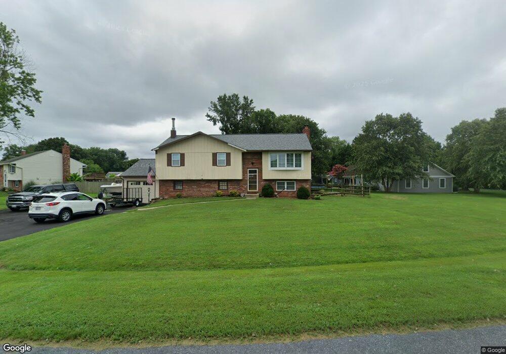
133 N Lake Dr Stevensville, MD 21666
Estimated Value: $504,714 - $609,000
--
Bed
2
Baths
1,180
Sq Ft
$464/Sq Ft
Est. Value
About This Home
This home is located at 133 N Lake Dr, Stevensville, MD 21666 and is currently estimated at $547,429, approximately $463 per square foot. 133 N Lake Dr is a home located in Queen Anne's County with nearby schools including Matapeake Elementary School, Matapeake Middle School, and Kent Island High School.
Ownership History
Date
Name
Owned For
Owner Type
Purchase Details
Closed on
Feb 20, 2004
Sold by
Willow David N
Bought by
Farley Patrick E and Farley Kelly J
Current Estimated Value
Purchase Details
Closed on
May 24, 1984
Sold by
Grube William R and Grube Mary D
Bought by
Willow David N and Willow Elizabeth A
Home Financials for this Owner
Home Financials are based on the most recent Mortgage that was taken out on this home.
Original Mortgage
$57,482
Interest Rate
14.04%
Purchase Details
Closed on
Jul 16, 1980
Sold by
Nationwide Consumer
Bought by
Grube William R and Grube Mary D
Home Financials for this Owner
Home Financials are based on the most recent Mortgage that was taken out on this home.
Original Mortgage
$58,500
Interest Rate
12.23%
Create a Home Valuation Report for This Property
The Home Valuation Report is an in-depth analysis detailing your home's value as well as a comparison with similar homes in the area
Home Values in the Area
Average Home Value in this Area
Purchase History
| Date | Buyer | Sale Price | Title Company |
|---|---|---|---|
| Farley Patrick E | $294,900 | -- | |
| Willow David N | $70,000 | -- | |
| Grube William R | $66,000 | -- |
Source: Public Records
Mortgage History
| Date | Status | Borrower | Loan Amount |
|---|---|---|---|
| Previous Owner | Willow David N | $57,482 | |
| Previous Owner | Grube William R | $58,500 | |
| Closed | Farley Patrick E | -- |
Source: Public Records
Tax History Compared to Growth
Tax History
| Year | Tax Paid | Tax Assessment Tax Assessment Total Assessment is a certain percentage of the fair market value that is determined by local assessors to be the total taxable value of land and additions on the property. | Land | Improvement |
|---|---|---|---|---|
| 2025 | $3,290 | $369,500 | $0 | $0 |
| 2024 | $3,122 | $341,900 | $0 | $0 |
| 2023 | $2,961 | $314,300 | $151,200 | $163,100 |
| 2022 | $2,958 | $314,000 | $0 | $0 |
| 2021 | $3,069 | $313,700 | $0 | $0 |
| 2020 | $2,994 | $313,400 | $158,800 | $154,600 |
| 2019 | $2,846 | $296,733 | $0 | $0 |
| 2018 | $2,717 | $280,067 | $0 | $0 |
| 2017 | $2,586 | $263,400 | $0 | $0 |
| 2016 | -- | $263,400 | $0 | $0 |
| 2015 | $1,240 | $263,400 | $0 | $0 |
| 2014 | $1,240 | $281,700 | $0 | $0 |
Source: Public Records
Map
Nearby Homes
- 145 N Lake Dr
- 208 Tower Dr
- 118 N Lake Dr
- 114 N Lake Dr
- 101 Beachside Dr
- 201 Beachside Dr
- 312 S Lake Dr
- 306 N Lake Rd
- Lot 1 - E/Kent Point Romancoke
- 8905 Romancoke Rd
- Lot 8 Ackerman Dr
- 0 Ackerman Dr
- 122 S Carolina Rd
- 321 Oregon Rd
- 203 Olive Branch Rd
- 101 Oak St
- 210 Pennick Dr
- 214 Pennick Dr
- 116 Talbot Rd
- 224 Wicomico Rd