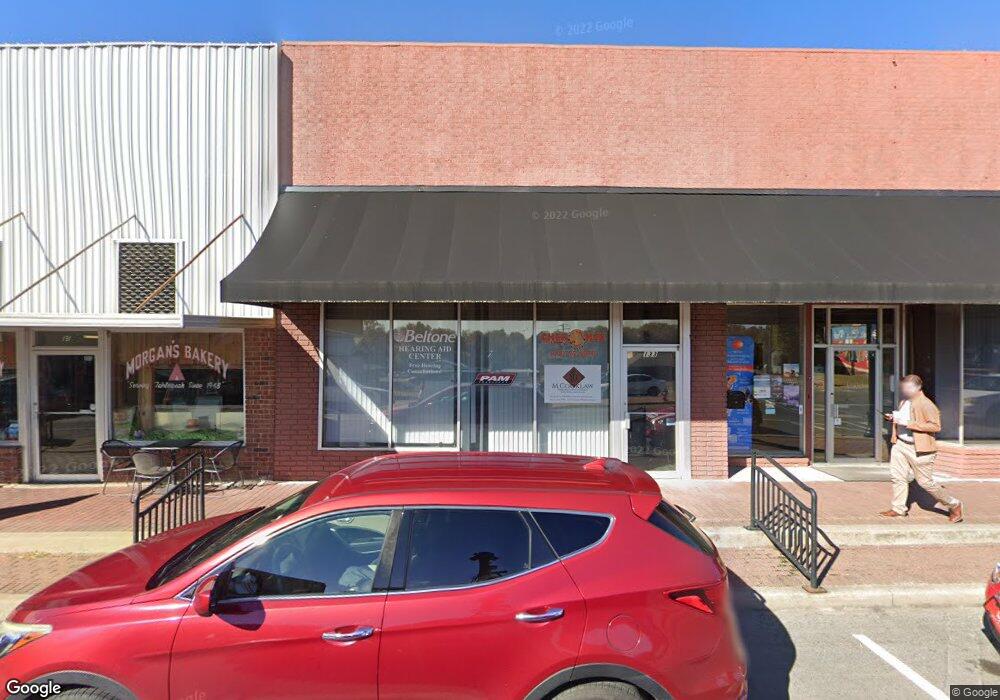
133 N Muskogee Ave Tahlequah, OK 74464
--
Bed
2
Baths
5,106
Sq Ft
11.45
Acres
About This Home
This home is located at 133 N Muskogee Ave, Tahlequah, OK 74464. 133 N Muskogee Ave is a home located in Cherokee County with nearby schools including Greenwood Elementary School, Cherokee Elementary School, and Tahlequah Middle School.
Ownership History
Date
Name
Owned For
Owner Type
Purchase Details
Closed on
Oct 21, 2022
Sold by
Tunica Properties Llc
Bought by
Jarvis Corbin L and Jarvis Candace A
Home Financials for this Owner
Home Financials are based on the most recent Mortgage that was taken out on this home.
Original Mortgage
$538,729
Outstanding Balance
$508,037
Interest Rate
6.02%
Mortgage Type
New Conventional
Purchase Details
Closed on
Sep 2, 1993
Sold by
Olaf J Bode Trustee
Bought by
Alan Mitchell
Create a Home Valuation Report for This Property
The Home Valuation Report is an in-depth analysis detailing your home's value as well as a comparison with similar homes in the area
Home Values in the Area
Average Home Value in this Area
Purchase History
| Date | Buyer | Sale Price | Title Company |
|---|---|---|---|
| Jarvis Corbin L | $384,666 | -- | |
| Alan Mitchell | $72,000 | -- |
Source: Public Records
Mortgage History
| Date | Status | Borrower | Loan Amount |
|---|---|---|---|
| Open | Jarvis Corbin L | $538,729 |
Source: Public Records
Tax History Compared to Growth
Tax History
| Year | Tax Paid | Tax Assessment Tax Assessment Total Assessment is a certain percentage of the fair market value that is determined by local assessors to be the total taxable value of land and additions on the property. | Land | Improvement |
|---|---|---|---|---|
| 2025 | $2,318 | $25,684 | $3,317 | $22,367 |
| 2024 | $2,318 | $24,461 | $3,159 | $21,302 |
| 2023 | $2,318 | $23,297 | $3,017 | $20,280 |
| 2022 | $2,161 | $23,297 | $3,017 | $20,280 |
| 2021 | $2,169 | $23,297 | $3,017 | $20,280 |
| 2020 | $2,123 | $22,393 | $3,017 | $19,376 |
| 2019 | $2,004 | $21,327 | $3,017 | $18,310 |
| 2018 | $1,931 | $20,311 | $3,017 | $17,294 |
| 2017 | $1,836 | $19,344 | $3,017 | $16,327 |
| 2016 | $1,776 | $18,601 | $2,901 | $15,700 |
| 2015 | $1,588 | $17,714 | $3,205 | $14,509 |
| 2014 | $1,588 | $16,871 | $1,650 | $15,221 |
Source: Public Records
Map
Nearby Homes
- 321 W Shawnee St
- 403 S Bluff Ave
- 224 W Chickasaw St
- 215 S Maple Ave
- 515 W Delaware St
- 610 W Delaware St
- 510 S Cherokee Ave
- 528 S Muskogee Ave
- 619 E Cherrie St
- 201 Sandy Cir
- 513 S State Ave
- 508 Covington Place
- 0 W Choctaw St
- 615 Russell Ave
- 605 E Ward St
- 605 S Oak Ave
- 609 E Ward St
- 104 Tommye Ln
- 111 N Logan Dr
- 306 Short St
- 133 N Muskogee Ave
- 119 N Muskogee Ave
- 121 N Muskogee Ave
- 120 N Muskogee Ave
- 124 N Muskogee Ave
- 108 S Muskogee Ave
- 174 N Muskogee Ave
- 123 E Delaware St
- 114 S Muskogee Ave
- 104 S Muskogee Ave
- 109 W Stick Ross Cir
- 118 E Shawnee St
- 200 N Muskogee Ave
- 124 W Shawnee St
- 103 E Shawnee St
- 105 E Shawnee St
- 107 E Shawnee St
- 109 E Shawnee St
- 209 N Muskogee Ave
- 201 N Muskogee Ave