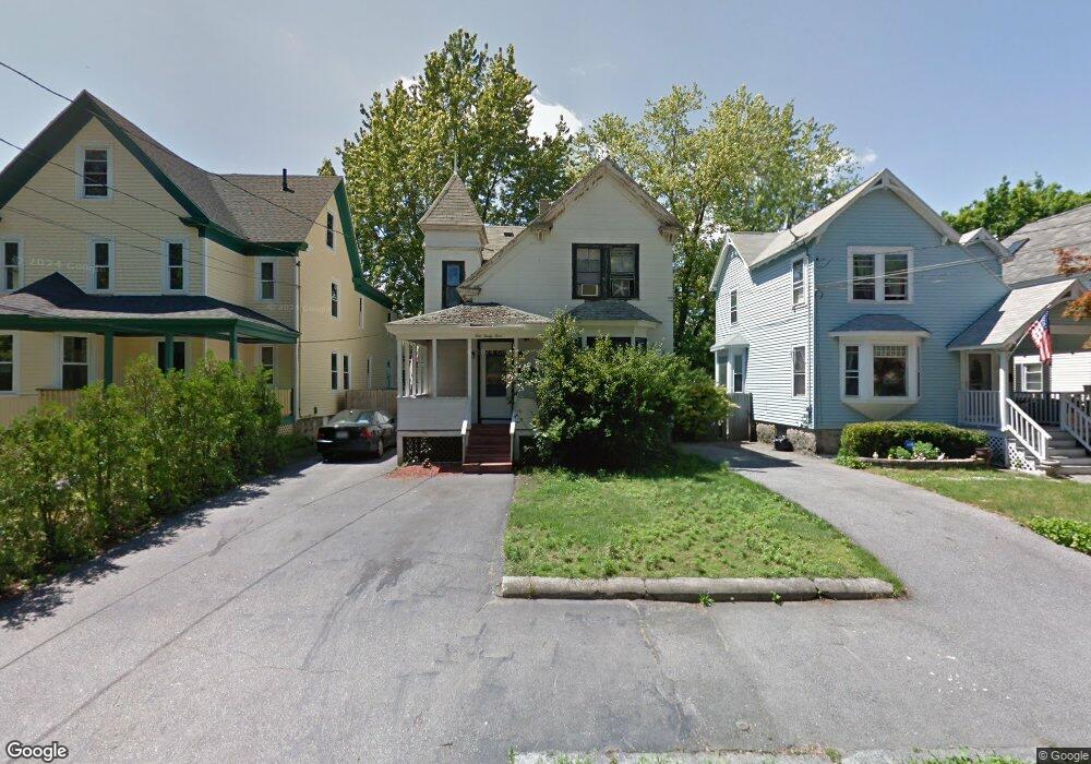
133 Newton St Lawrence, MA 01843
South West NeighborhoodEstimated Value: $491,905 - $714,000
2
Beds
2
Baths
1,400
Sq Ft
$447/Sq Ft
Est. Value
About This Home
This home is located at 133 Newton St, Lawrence, MA 01843 and is currently estimated at $626,226, approximately $447 per square foot. 133 Newton St is a home located in Essex County with nearby schools including John Breen School, Emily G. Wetherbee School (K-8), and School For Exceptional Studies.
Ownership History
Date
Name
Owned For
Owner Type
Purchase Details
Closed on
Dec 7, 2004
Sold by
Casipe Rt and Casipe Arthur M
Bought by
Casipe Arthur M
Current Estimated Value
Purchase Details
Closed on
Aug 30, 1993
Sold by
Eastern Bank
Bought by
Casipe Rosario M
Home Financials for this Owner
Home Financials are based on the most recent Mortgage that was taken out on this home.
Original Mortgage
$15,000
Interest Rate
7.06%
Mortgage Type
Purchase Money Mortgage
Create a Home Valuation Report for This Property
The Home Valuation Report is an in-depth analysis detailing your home's value as well as a comparison with similar homes in the area
Home Values in the Area
Average Home Value in this Area
Purchase History
| Date | Buyer | Sale Price | Title Company |
|---|---|---|---|
| Casipe Arthur M | -- | -- | |
| Casipe Rosario M | $37,500 | -- |
Source: Public Records
Mortgage History
| Date | Status | Borrower | Loan Amount |
|---|---|---|---|
| Previous Owner | Casipe Rosario M | $15,000 |
Source: Public Records
Tax History
| Year | Tax Paid | Tax Assessment Tax Assessment Total Assessment is a certain percentage of the fair market value that is determined by local assessors to be the total taxable value of land and additions on the property. | Land | Improvement |
|---|---|---|---|---|
| 2025 | $3,585 | $407,400 | $94,100 | $313,300 |
| 2024 | $3,318 | $358,700 | $101,800 | $256,900 |
| 2023 | $3,239 | $318,800 | $94,400 | $224,400 |
| 2022 | $3,045 | $266,200 | $85,600 | $180,600 |
| 2021 | $3,005 | $244,900 | $85,600 | $159,300 |
| 2020 | $2,890 | $232,500 | $81,200 | $151,300 |
| 2019 | $2,862 | $209,200 | $67,400 | $141,800 |
| 2018 | $2,643 | $184,600 | $63,900 | $120,700 |
| 2017 | $2,476 | $161,400 | $60,300 | $101,100 |
| 2016 | $2,376 | $153,200 | $49,700 | $103,500 |
| 2015 | $2,325 | $153,800 | $49,700 | $104,100 |
Source: Public Records
Map
Nearby Homes
- 91-93 Newton St
- 49 Bowdoin St Unit 51
- 543 Andover St Unit 6
- 12-12A Durham St
- 37 Tewksbury St Unit 39
- 87-87A Brookfield St
- 11 W Hawley St
- 82 S Broadway
- 24 Inman St Unit 6
- 24 Inman St Unit 4
- 341 S Broadway- Parcel II
- 31 Garfield St
- 312 Water St Unit 4
- 18 Doyle St
- 27-29 Dorchester St
- 95 Hancock St
- 82 Water St
- 100 Bailey St Unit 3
- 46-46A Dorchester St
- 356-360 S Union St
- 137 Newton St
- 137 Newton St Unit 139
- 129 Newton St
- 232 Carleton St
- 143 Newton St
- 141 Newton St
- 125 Newton St Unit 127
- 226 Carleton St
- 138 Newton St
- 121 Newton St Unit 123
- 121-123 Newton St
- 187 Sanborn St Unit 189
- 134 Newton St
- 220 Carleton St
- 117 Newton St Unit 119
- 130 Newton St
- 183 Sanborn St Unit 185
- 183-185 Sanborn St
- 516 Andover St
- 124 Newton St Unit 126
Your Personal Tour Guide
Ask me questions while you tour the home.