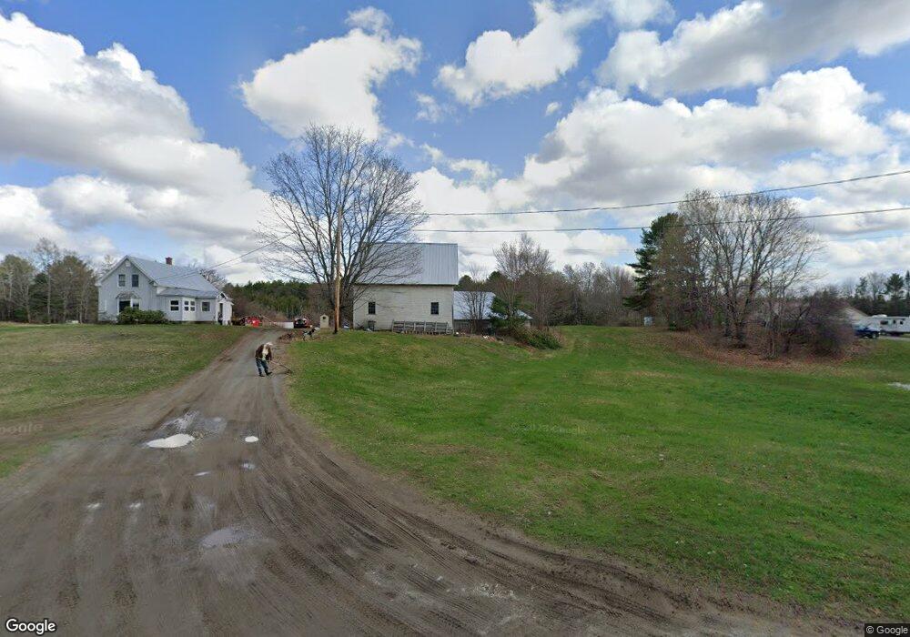
133 Notch Rd Skowhegan, ME 04976
Estimated Value: $289,000 - $411,000
3
Beds
2
Baths
1,860
Sq Ft
$182/Sq Ft
Est. Value
About This Home
This home is located at 133 Notch Rd, Skowhegan, ME 04976 and is currently estimated at $339,435, approximately $182 per square foot. 133 Notch Rd is a home located in Somerset County.
Ownership History
Date
Name
Owned For
Owner Type
Purchase Details
Closed on
Oct 8, 2025
Sold by
Laney Ft and Herbert
Bought by
Linda M Laney Irt and Bell
Current Estimated Value
Purchase Details
Closed on
Mar 12, 2019
Sold by
Laney Linda M
Bought by
Laney Ft and Herbert
Purchase Details
Closed on
Aug 21, 2017
Sold by
Laney Linda M
Bought by
Laney Linda M
Purchase Details
Closed on
Jun 5, 2017
Sold by
Fowler Linda M
Bought by
Laney Lewis M
Purchase Details
Closed on
Nov 12, 2014
Sold by
Laney Lewis M
Bought by
Kinney Donald L
Home Financials for this Owner
Home Financials are based on the most recent Mortgage that was taken out on this home.
Original Mortgage
$35,000
Interest Rate
4.17%
Mortgage Type
Purchase Money Mortgage
Purchase Details
Closed on
Nov 18, 2013
Sold by
Laney Stephen J
Bought by
Laney Linda M and Laney Lewis M
Create a Home Valuation Report for This Property
The Home Valuation Report is an in-depth analysis detailing your home's value as well as a comparison with similar homes in the area
Home Values in the Area
Average Home Value in this Area
Purchase History
| Date | Buyer | Sale Price | Title Company |
|---|---|---|---|
| Linda M Laney Irt | -- | -- | |
| Laney Ft | -- | -- | |
| Laney Linda M | -- | -- | |
| Laney Lewis M | -- | -- | |
| Kinney Donald L | -- | -- | |
| Kinney Donald L | -- | -- | |
| Laney Linda M | -- | -- | |
| Laney Linda M | -- | -- |
Source: Public Records
Mortgage History
| Date | Status | Borrower | Loan Amount |
|---|---|---|---|
| Previous Owner | Kinney Donald L | $35,000 |
Source: Public Records
Tax History Compared to Growth
Tax History
| Year | Tax Paid | Tax Assessment Tax Assessment Total Assessment is a certain percentage of the fair market value that is determined by local assessors to be the total taxable value of land and additions on the property. | Land | Improvement |
|---|---|---|---|---|
| 2024 | $3,453 | $191,100 | $71,400 | $119,700 |
| 2023 | $3,386 | $191,100 | $71,400 | $119,700 |
| 2022 | $2,645 | $151,300 | $59,300 | $92,000 |
| 2021 | $2,644 | $144,100 | $59,300 | $84,800 |
| 2020 | $2,486 | $138,100 | $59,300 | $78,800 |
| 2019 | $2,381 | $138,100 | $59,300 | $78,800 |
| 2018 | $2,513 | $138,100 | $59,300 | $78,800 |
| 2017 | $2,194 | $109,700 | $33,800 | $75,900 |
| 2016 | $2,134 | $112,100 | $31,400 | $80,700 |
| 2015 | $2,051 | $112,100 | $31,400 | $80,700 |
| 2014 | $1,923 | $112,100 | $31,400 | $80,700 |
| 2013 | $1,838 | $112,100 | $31,400 | $80,700 |
Source: Public Records
Map
Nearby Homes
- 477 Malbons Mills Rd
- 538 Malbons Mills Rd
- 266 Dudley Corner Rd
- M33 L94-1 (Lot 18) Reed St
- 701 Malbons Mills Rd
- 435 Canaan Rd
- 28 Messina Dr
- 24 Ryan Ln
- 176 W Ridge Rd
- 30 Prentiss Ln
- 111 Malbons Mills Rd
- M1 L27 North Ave
- 28 Dr Mann Rd
- 263 W Ridge Rd
- 664 E Ridge Rd
- 657 E Ridge Rd
- 000 E Ridge Rd
- 257 North Ave
- 34 Wing Ln
- 36 Saint Mark St
- 123 Notch Rd
- 170 Notch Rd
- 105 Notch Rd
- 199 Notch Rd
- 61-2 Notch Rd
- 61 Notch Rd
- 6 Conifer Ln
- 219 Notch Rd
- 339 Dudley Corner Rd
- 0 Box 7790 Dudley Corner Rd
- 238 Notch Rd
- 26 Notch Rd
- 593 Malbons Mills Rd
- 39 Conifer Ln
- 242 Notch Rd
- 431 Malbons Mills Rd
- 11 Notch Rd
- 258 Notch Rd
- 415 Malbons Mills Rd
- 0 Notch Rd Unit 257285