133 Old Airport Rd Concord, NC 28025
Estimated Value: $452,224 - $551,000
4
Beds
3
Baths
2,080
Sq Ft
$234/Sq Ft
Est. Value
About This Home
This home is located at 133 Old Airport Rd, Concord, NC 28025 and is currently estimated at $487,556, approximately $234 per square foot. 133 Old Airport Rd is a home located in Cabarrus County with nearby schools including W.M. Irvin Elementary School, Concord Middle School, and Concord High School.
Ownership History
Date
Name
Owned For
Owner Type
Purchase Details
Closed on
Sep 10, 2004
Sold by
Biggers Maude Irvin
Bought by
Mcdonald Rickie Lynn and Mcdonald Kathy Biggers
Current Estimated Value
Home Financials for this Owner
Home Financials are based on the most recent Mortgage that was taken out on this home.
Original Mortgage
$200,800
Outstanding Balance
$99,746
Interest Rate
5.92%
Mortgage Type
Stand Alone Refi Refinance Of Original Loan
Estimated Equity
$387,810
Purchase Details
Closed on
Apr 1, 1986
Create a Home Valuation Report for This Property
The Home Valuation Report is an in-depth analysis detailing your home's value as well as a comparison with similar homes in the area
Home Values in the Area
Average Home Value in this Area
Purchase History
| Date | Buyer | Sale Price | Title Company |
|---|---|---|---|
| Mcdonald Rickie Lynn | -- | -- | |
| -- | $9,000 | -- |
Source: Public Records
Mortgage History
| Date | Status | Borrower | Loan Amount |
|---|---|---|---|
| Open | Mcdonald Rickie Lynn | $200,800 | |
| Closed | Mcdonald Rickie Lynn | $25,000 |
Source: Public Records
Tax History Compared to Growth
Tax History
| Year | Tax Paid | Tax Assessment Tax Assessment Total Assessment is a certain percentage of the fair market value that is determined by local assessors to be the total taxable value of land and additions on the property. | Land | Improvement |
|---|---|---|---|---|
| 2025 | $4,344 | $436,160 | $104,580 | $331,580 |
| 2024 | $4,344 | $436,160 | $104,580 | $331,580 |
| 2023 | $3,938 | $322,800 | $81,340 | $241,460 |
| 2022 | $3,938 | $322,800 | $81,340 | $241,460 |
| 2021 | $3,938 | $322,800 | $81,340 | $241,460 |
| 2020 | $3,938 | $322,800 | $81,340 | $241,460 |
| 2019 | $3,238 | $265,430 | $46,480 | $218,950 |
| 2018 | $3,185 | $265,430 | $46,480 | $218,950 |
| 2017 | $3,132 | $265,430 | $46,480 | $218,950 |
| 2016 | $1,858 | $250,970 | $46,480 | $204,490 |
| 2015 | $2,961 | $250,970 | $46,480 | $204,490 |
| 2014 | $2,961 | $250,970 | $46,480 | $204,490 |
Source: Public Records
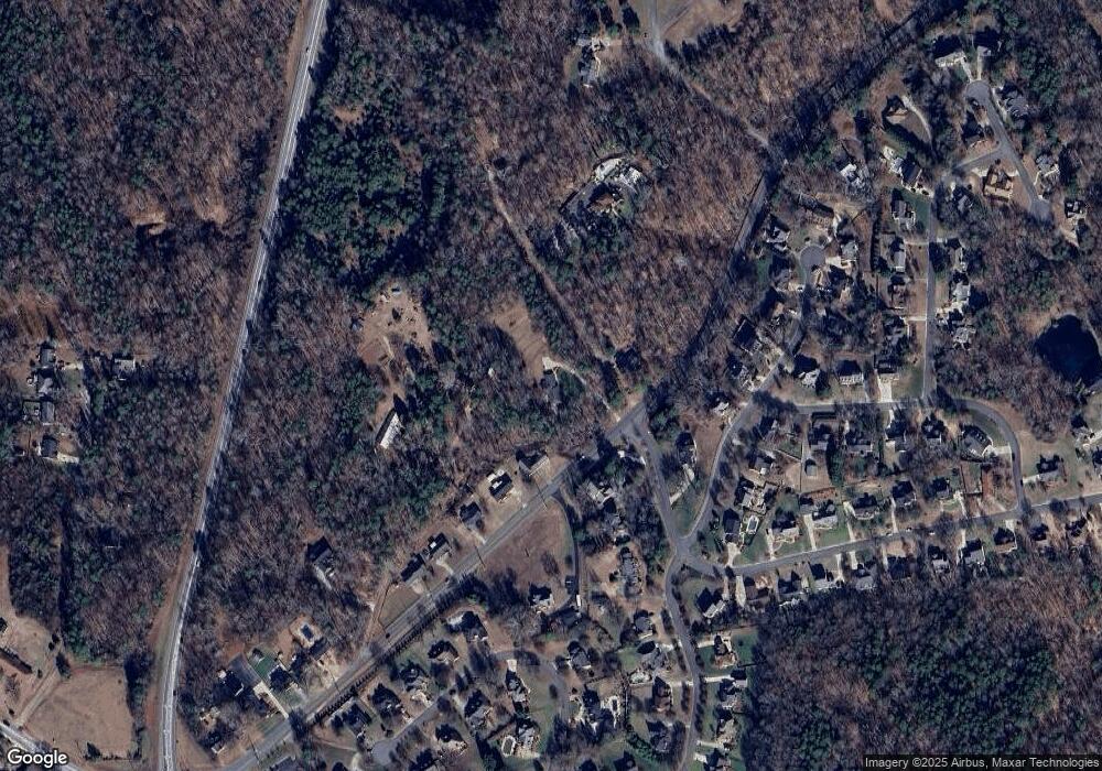
Map
Nearby Homes
- 153 Cottontail Ln SE Unit 46
- 142 Cottontail Ln SE
- 138 Pointer Ct SE
- 29 Plott Dr SW
- 2522 Willow Pond Ln SE
- 425 Krimminger Ave SE
- 267 Ikerd Dr SE
- 79 Cumberland Ct SW
- 271 Ikerd Dr SE
- 94 Cumberland Ct SW
- 1197 Tangle Ridge Dr SE
- 768 Millbrook Ct
- 2406 Everton Cir SE
- 34 Rollingwood Dr SE
- 1160 Tangle Ridge Dr SE
- 284 Ikerd Dr SE
- 2432 Baxter Place SE
- 24 Doris Ct SE
- 1128 Tangle Ridge Dr SE
- 138 Arlington Ave SE
- 129 Old Airport Rd
- 119 Old Airport Rd
- 151 Old Airport Rd
- 1102 Setter Ln SE
- 127 Old Airport Rd
- 1104 Setter Ln SE
- 1103 Setter Ln SE
- 125 Old Airport Rd
- 158 Cottontail Ln SE
- 117 Old Airport Rd
- 160 Cottontail Ln SE
- 123 Old Airport Rd
- 161 Old Airport Rd
- 162 Cottontail Ln SE
- 110 Old Airport Rd
- 153 Cottontail Ln SE
- 164 Cottontail Ln SE
- 155 Cottontail Ln SE
- 151 Cottontail Ln SE
- 157 Cottontail Ln SE