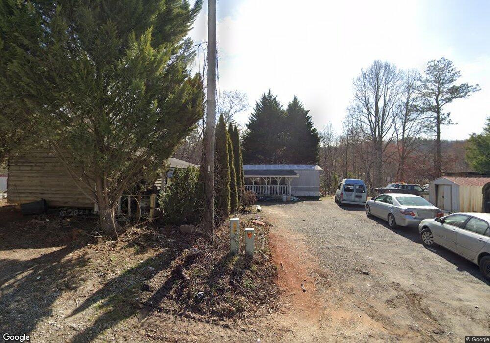
133 Otto Alexander Rd Brevard, NC 28712
Estimated Value: $97,963 - $563,000
--
Bed
--
Bath
--
Sq Ft
4,356
Sq Ft Lot
About This Home
This home is located at 133 Otto Alexander Rd, Brevard, NC 28712 and is currently estimated at $321,741. 133 Otto Alexander Rd is a home.
Ownership History
Date
Name
Owned For
Owner Type
Purchase Details
Closed on
Apr 1, 2002
Bought by
Daves Michael S
Current Estimated Value
Create a Home Valuation Report for This Property
The Home Valuation Report is an in-depth analysis detailing your home's value as well as a comparison with similar homes in the area
Home Values in the Area
Average Home Value in this Area
Purchase History
| Date | Buyer | Sale Price | Title Company |
|---|---|---|---|
| Daves Michael S | -- | -- |
Source: Public Records
Tax History Compared to Growth
Tax History
| Year | Tax Paid | Tax Assessment Tax Assessment Total Assessment is a certain percentage of the fair market value that is determined by local assessors to be the total taxable value of land and additions on the property. | Land | Improvement |
|---|---|---|---|---|
| 2025 | $18 | $3,720 | $3,000 | $720 |
| 2024 | $25 | $3,820 | $3,000 | $820 |
| 2023 | $25 | $3,820 | $3,000 | $820 |
| 2022 | $25 | $3,820 | $3,000 | $820 |
| 2021 | $25 | $3,820 | $3,000 | $820 |
| 2020 | $23 | $3,310 | $0 | $0 |
| 2019 | $23 | $3,310 | $0 | $0 |
| 2018 | $19 | $4,630 | $0 | $0 |
| 2017 | $18 | $3,100 | $0 | $0 |
| 2016 | $17 | $3,100 | $0 | $0 |
| 2015 | -- | $3,300 | $2,340 | $960 |
| 2014 | -- | $3,300 | $2,340 | $960 |
Source: Public Records
Map
Nearby Homes
- 66 Barberry Heights Dr
- 1482 Island Ford Rd
- 7 Maple Dr
- 1244 Windover Dr
- 0000 Newcastle Rd Unit 53
- 440 Island Ford Rd
- Mini Farm 2 TBD Coventry Dr
- Mini Farm 2 & 3 TBD Coventry Dr
- Mini Farm 3 TBD Coventry Dr
- L2 Oxford Ct Unit S2 P1 L2
- TBD High Hemlock Trail Unit 46
- 215 High Hemlock Trail
- 431 Pole Miller Extension
- 00000 Mountain Brook Trail Unit 37
- 5 Mountain Brook Trail Unit 5
- 41 Mountain Brook Trail
- 177 Old County Home Rd
- TBD High Point Trail Unit 21
- TBD High Point Trail Unit 24
- 999 High Point Trail
- 515 W Shady Ln
- 544 W Shady Ln
- 502 W Shady Ln
- 574 W Shady Ln
- 250 Still House Mountain Rd
- 500 W Shady Ln
- 320 Barberry Heights Dr
- 260 Barberry Heights Dr
- 274 Barberry Heights Dr
- 263 W Shady Ln
- 206 Still House Mountain Rd
- TBD Stillhouse Rd
- 81 Still House Rd
- 70 Barberry Heights Dr
- 339 Barberry Heights Dr
- 1210 Island Ford Rd
- 226 Barberry Heights Dr
- Lot 58 Stillhouse Rd
- Lot 58 Stillhouse Rd Unit 58
- TBD Still House Mountain Rd Unit 41/54