133 Queen Anne Rd Harwich, MA 2645
Northwest Harwich NeighborhoodEstimated Value: $2,728,466
--
Bed
--
Bath
12,380
Sq Ft
$220/Sq Ft
Est. Value
About This Home
This home is located at 133 Queen Anne Rd, Harwich, MA 2645 and is currently estimated at $2,728,466, approximately $220 per square foot. 133 Queen Anne Rd is a home located in Barnstable County with nearby schools including Harwich Elementary School, Chatham Elementary School, and Monomoy Regional Middle School.
Ownership History
Date
Name
Owned For
Owner Type
Purchase Details
Closed on
Jul 16, 1998
Sold by
Harwich Queen Anne Rt and Chamberlain Charles E
Bought by
Family Pantry Corp
Current Estimated Value
Home Financials for this Owner
Home Financials are based on the most recent Mortgage that was taken out on this home.
Original Mortgage
$350,000
Outstanding Balance
$69,593
Interest Rate
6.98%
Mortgage Type
Purchase Money Mortgage
Estimated Equity
$2,658,873
Create a Home Valuation Report for This Property
The Home Valuation Report is an in-depth analysis detailing your home's value as well as a comparison with similar homes in the area
Home Values in the Area
Average Home Value in this Area
Purchase History
| Date | Buyer | Sale Price | Title Company |
|---|---|---|---|
| Family Pantry Corp | $520,000 | -- |
Source: Public Records
Mortgage History
| Date | Status | Borrower | Loan Amount |
|---|---|---|---|
| Open | Family Pantry Corp | $350,000 | |
| Closed | Family Pantry Corp | $50,000 |
Source: Public Records
Tax History Compared to Growth
Tax History
| Year | Tax Paid | Tax Assessment Tax Assessment Total Assessment is a certain percentage of the fair market value that is determined by local assessors to be the total taxable value of land and additions on the property. | Land | Improvement |
|---|---|---|---|---|
| 2025 | -- | $1,110,900 | $505,400 | $605,500 |
| 2024 | -- | $1,083,200 | $485,900 | $597,300 |
| 2023 | $0 | $891,200 | $385,600 | $505,600 |
| 2022 | $0 | $850,300 | $363,800 | $486,500 |
| 2021 | $0 | $848,900 | $360,400 | $488,500 |
| 2020 | $0 | $843,900 | $353,300 | $490,600 |
| 2019 | $0 | $824,400 | $339,600 | $484,800 |
| 2018 | $0 | $819,400 | $339,600 | $479,800 |
| 2017 | $0 | $799,500 | $323,200 | $476,300 |
| 2016 | -- | $738,900 | $271,600 | $467,300 |
| 2015 | -- | $725,100 | $266,300 | $458,800 |
| 2014 | -- | $708,500 | $258,500 | $450,000 |
Source: Public Records
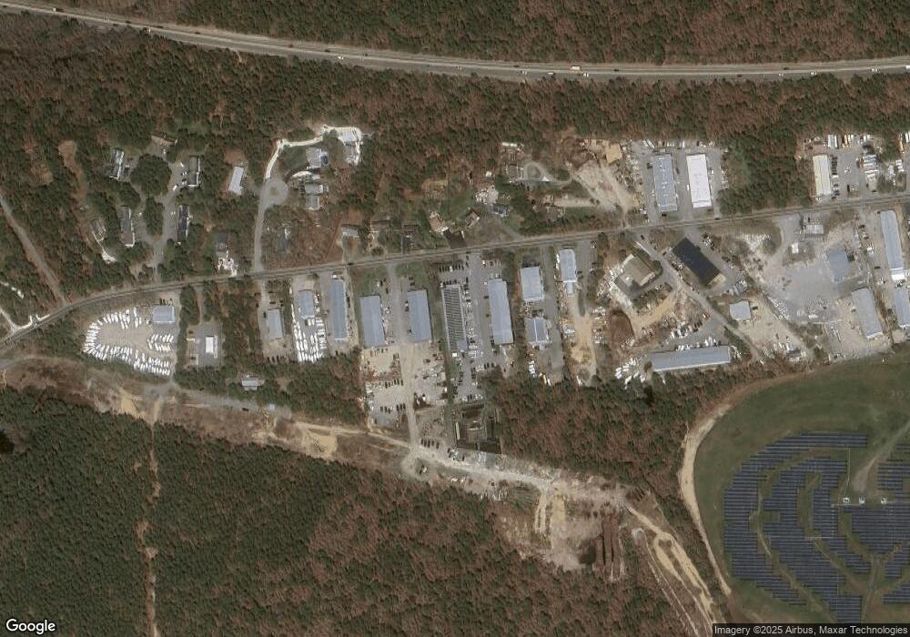
Map
Nearby Homes
- 3 Bittersweet Ln
- 2 Bassett Woods Rd
- 3 Bentley Rd
- 12 Old Campground Rd
- 18 Old Campground
- 159 Pleasant Lake Ave
- 135 Sisson Rd
- 16 Long Pond Dr
- 11 Windjammer Rd
- 14 2nd St
- 91 Depot Rd W
- 116 Parallel St
- 64 Smith St
- 292 Route 28 Unit 7
- 11 Lane Rd
- 264 Massachusetts 28
- 9 Mansion St
- 9 Bells Neck Rd Unit 10
- 37 Cyprus Rd
- 297 Massachusetts 28
- 0 Oueen Anne
- 0 Queen Anne Rd
- 0 Queen Anne Rd Unit 1 9902548
- 0 Queen Anne Rd Unit 4 9902543
- 0 Queen Anne Rd Unit 14 2000259
- 0 Queen Anne Rd Unit 17 9902549
- 0 Queen Anne Rd Unit 9 9902546
- 0 Queen Anne Rd Unit 16 9902724
- 0 Queen Anne Rd Unit 18 9902726
- 0 Queen Anne Rd Unit 8 9902739
- 0 Queen Anne Rd Unit 9902722
- 0 Queen Anne Rd Unit 7033224
- 0 Queen Anne Rd Unit 7029031
- 0 Queen Anne Rd Unit 7033235
- 0 Queen Anne Rd Unit 16 8044304
- 0 Queen Anne Rd Unit 1 6014682
- 0 Queen Anne Rd Unit 20709078
- 0 Queen Anne Rd Unit 20602892
- 0 Queen Anne Rd Unit 2039244
- 0 Queen Anne Rd Unit 2041755