133 Ragsdale Rd Sharpsburg, GA 30277
Estimated Value: $748,000 - $937,856
5
Beds
4
Baths
2,778
Sq Ft
$296/Sq Ft
Est. Value
About This Home
This home is located at 133 Ragsdale Rd, Sharpsburg, GA 30277 and is currently estimated at $822,464, approximately $296 per square foot. 133 Ragsdale Rd is a home located in Coweta County with nearby schools including Poplar Road Elementary School, East Coweta Middle School, and East Coweta High School.
Ownership History
Date
Name
Owned For
Owner Type
Purchase Details
Closed on
Dec 13, 2019
Sold by
Johnson Jonathan E
Bought by
Weston William Thomas and Weston Marci A
Current Estimated Value
Home Financials for this Owner
Home Financials are based on the most recent Mortgage that was taken out on this home.
Original Mortgage
$490,000
Interest Rate
3.7%
Mortgage Type
New Conventional
Purchase Details
Closed on
Jul 18, 2000
Sold by
Tolar Shirley D and Tolar Samuel W
Bought by
Johnson Jonathan E & Bethany N
Home Financials for this Owner
Home Financials are based on the most recent Mortgage that was taken out on this home.
Original Mortgage
$220,000
Interest Rate
8.3%
Mortgage Type
New Conventional
Purchase Details
Closed on
Nov 30, 1994
Bought by
Tolar Shirley D
Purchase Details
Closed on
Jun 29, 1970
Bought by
Tolar Samuel W
Create a Home Valuation Report for This Property
The Home Valuation Report is an in-depth analysis detailing your home's value as well as a comparison with similar homes in the area
Home Values in the Area
Average Home Value in this Area
Purchase History
| Date | Buyer | Sale Price | Title Company |
|---|---|---|---|
| Weston William Thomas | $575,000 | -- | |
| Johnson Jonathan E & Bethany N | $275,000 | -- | |
| Tolar Shirley D | -- | -- | |
| Tolar Samuel W | $30,500 | -- |
Source: Public Records
Mortgage History
| Date | Status | Borrower | Loan Amount |
|---|---|---|---|
| Closed | Weston William Thomas | $490,000 | |
| Previous Owner | Johnson Jonathan E & Bethany N | $220,000 |
Source: Public Records
Tax History Compared to Growth
Tax History
| Year | Tax Paid | Tax Assessment Tax Assessment Total Assessment is a certain percentage of the fair market value that is determined by local assessors to be the total taxable value of land and additions on the property. | Land | Improvement |
|---|---|---|---|---|
| 2024 | $4,900 | $290,526 | $92,100 | $198,425 |
| 2023 | $4,900 | $240,520 | $54,868 | $185,652 |
| 2022 | $3,905 | $202,119 | $49,880 | $152,239 |
| 2021 | $3,755 | $184,304 | $47,505 | $136,799 |
| 2020 | $4,884 | $184,304 | $47,505 | $136,799 |
| 2019 | $3,636 | $129,026 | $38,792 | $90,234 |
| 2018 | $3,643 | $129,026 | $38,792 | $90,234 |
| 2017 | $3,642 | $129,026 | $38,791 | $90,235 |
| 2016 | $3,600 | $129,026 | $38,792 | $90,234 |
| 2015 | $3,542 | $129,026 | $38,792 | $90,234 |
| 2014 | $3,516 | $129,026 | $38,792 | $90,234 |
Source: Public Records
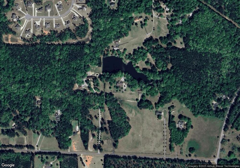
Map
Nearby Homes
- 49 Durham Estates Dr
- 20 Water Oak Dr
- 135 Graceton Farms Dr
- 223 Wills Run Dr
- 771 Ragsdale Rd
- 376 Linch Rd
- 244 Turin Rd
- 37 Wills Run Dr Unit 3
- 69 Oakhurst Trail
- 65 Oakhurst Trail
- 999 Linch Rd
- 0 Johnson Rd Unit LOT 4 10583889
- 0 Johnson Rd Unit LOT 3 10583885
- 3775 Highway 16 E
- 320 Old Highway 16
- 138 Main St
- 0 Cannon Rd Unit 7627017
- 0 Cannon Rd Unit 10566028
- LOT 2 Mcintosh Trail Unit 2
- 0 Sid Hunter Rd Unit LOT 2 10583878
- 75 Ragsdale Rd
- 501 Neely Rd
- 187 Ragsdale Rd
- 221 Ragsdale Rd
- 55 Ragsdale Rd
- 102 Durham Estates Dr Unit 10
- 497 Neely Rd
- 116 Durham Estates Dr Unit LOT 11
- 233 Ragsdale Rd
- 126 Durham Estates Dr Unit 12
- 515 Neely Rd
- 163 Durham Estates Dr
- 146 Durham Estates Dr
- 82 Durham Estates Dr
- 140 Durham Estates Dr
- 140 Durham Estates Dr Unit 16
- 140 Durham Estates Dr Unit 9
- 140 Durham Estates Dr Unit LOT 15
- 140 Durham Estates Dr Unit LOT 14
- 140 Durham Estates Dr Unit 6