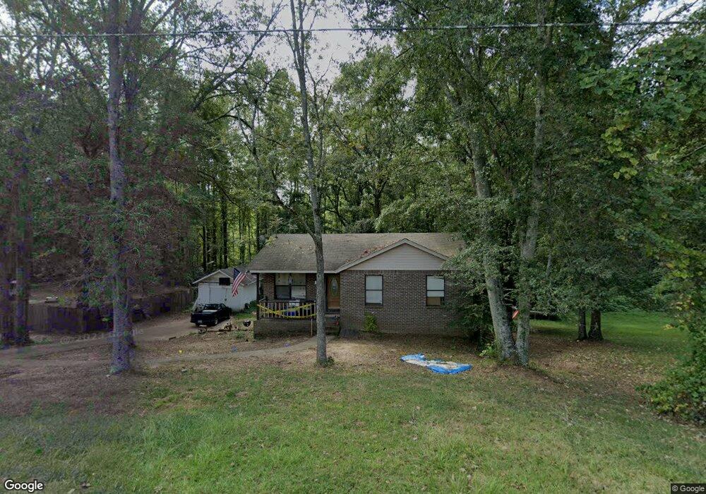
133 Randall Cir Clanton, AL 35045
Estimated Value: $159,000 - $193,000
4
Beds
1
Bath
1,010
Sq Ft
$176/Sq Ft
Est. Value
About This Home
This home is located at 133 Randall Cir, Clanton, AL 35045 and is currently estimated at $177,571, approximately $175 per square foot. 133 Randall Cir is a home located in Chilton County with nearby schools including Clanton Elementary School, Thorsby High School, and Isabella High School.
Ownership History
Date
Name
Owned For
Owner Type
Purchase Details
Closed on
May 27, 2010
Sold by
Fannie Mae
Bought by
Turner James Michael
Current Estimated Value
Home Financials for this Owner
Home Financials are based on the most recent Mortgage that was taken out on this home.
Original Mortgage
$73,904
Outstanding Balance
$50,492
Interest Rate
5.37%
Mortgage Type
FHA
Estimated Equity
$127,079
Purchase Details
Closed on
Sep 10, 2007
Sold by
Rowland Nan D and Rowland Michael D
Bought by
Fannie Mae and Federal National Mortgage Association
Home Financials for this Owner
Home Financials are based on the most recent Mortgage that was taken out on this home.
Original Mortgage
$77,700
Interest Rate
6.55%
Mortgage Type
New Conventional
Purchase Details
Closed on
Aug 9, 2006
Sold by
Littlejohn Dustin C and Littlejohn Christy L
Bought by
Thompson Howard E
Create a Home Valuation Report for This Property
The Home Valuation Report is an in-depth analysis detailing your home's value as well as a comparison with similar homes in the area
Purchase History
| Date | Buyer | Sale Price | Title Company |
|---|---|---|---|
| Turner James Michael | $74,900 | -- | |
| Fannie Mae | -- | -- | |
| Rowland Michael D | $82,700 | -- | |
| Thompson Howard E | -- | -- |
Source: Public Records
Mortgage History
| Date | Status | Borrower | Loan Amount |
|---|---|---|---|
| Open | Turner James Michael | $73,904 | |
| Previous Owner | Rowland Michael D | $77,700 |
Source: Public Records
Tax History
| Year | Tax Paid | Tax Assessment Tax Assessment Total Assessment is a certain percentage of the fair market value that is determined by local assessors to be the total taxable value of land and additions on the property. | Land | Improvement |
|---|---|---|---|---|
| 2024 | $458 | $24,420 | $3,780 | $20,640 |
| 2023 | $455 | $23,660 | $3,600 | $20,060 |
| 2022 | $344 | $10,190 | $1,800 | $8,390 |
| 2021 | $287 | $8,210 | $1,800 | $6,410 |
| 2020 | $287 | $8,210 | $1,800 | $6,410 |
| 2019 | $287 | $8,530 | $1,800 | $6,730 |
| 2018 | $283 | $9,330 | $0 | $0 |
| 2017 | $283 | $0 | $0 | $0 |
| 2016 | $283 | $0 | $0 | $0 |
| 2015 | $277 | $0 | $0 | $0 |
| 2013 | $277 | $7,980 | $0 | $0 |
Source: Public Records
Map
Nearby Homes
- 103 Randall Cir
- 103 Windover Dr
- 800 Airport Rd
- 0 County Road 32 Unit 21440953
- 110 Round Forest Dr Unit 4
- 104 Adriane St
- 106 Bethany Ln
- 168 County Road 454
- 1302 Lay Dam Rd
- 75 County Road 920
- 1306 Lay Dam Rd
- 1912 Lay Dam Rd
- 311 Thrash Rd
- 1003 Lay Dam Rd
- 6101 Alabama 145
- 504 Adams St
- 421 County Road 764
- 01 Alabama 145
- 442 Thrash Rd
- 803 3rd St N
- 137 Randall Cir
- 116 Randall Cir
- 202 Randall Cir
- 114 Randall Cir
- 204 Randall Cir
- 206 Randall Cir
- 205 Elson Ave
- 113 Randall Cir
- 200 Randall Cir
- 110 Randall Cir
- 208 Randall Cir
- 203 Elson Ave
- 111 Randall Cir
- 201 Elson Ave
- 210 Randall Cir
- 109 Randall Cir
- 204 Elson Ave
- 212 Randall Cir
- B Randall Cir Unit 1
- B Randall Cir
Your Personal Tour Guide
Ask me questions while you tour the home.