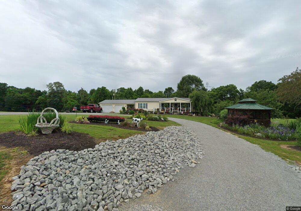
133 Raymond Noel Rd Liberty, KY 42539
Estimated Value: $143,606 - $298,000
3
Beds
2
Baths
1,680
Sq Ft
$116/Sq Ft
Est. Value
About This Home
This home is located at 133 Raymond Noel Rd, Liberty, KY 42539 and is currently estimated at $195,402, approximately $116 per square foot. 133 Raymond Noel Rd is a home located in Casey County with nearby schools including Casey County High School and Casey Amish Mennonite School.
Create a Home Valuation Report for This Property
The Home Valuation Report is an in-depth analysis detailing your home's value as well as a comparison with similar homes in the area
Home Values in the Area
Average Home Value in this Area
Tax History Compared to Growth
Tax History
| Year | Tax Paid | Tax Assessment Tax Assessment Total Assessment is a certain percentage of the fair market value that is determined by local assessors to be the total taxable value of land and additions on the property. | Land | Improvement |
|---|---|---|---|---|
| 2024 | $494 | $53,000 | $8,000 | $45,000 |
| 2023 | $510 | $53,000 | $0 | $0 |
| 2022 | $504 | $53,000 | $0 | $0 |
| 2021 | $517 | $53,000 | $0 | $0 |
| 2020 | $478 | $48,000 | $0 | $0 |
| 2019 | $483 | $48,000 | $0 | $0 |
| 2018 | $470 | $48,000 | $0 | $0 |
| 2017 | $455 | $48,000 | $0 | $0 |
| 2016 | $446 | $48,000 | $0 | $0 |
| 2015 | $436 | $48,000 | $0 | $0 |
| 2013 | $415 | $48,000 | $48,000 | $0 |
| 2012 | $403 | $48,000 | $48,000 | $0 |
Source: Public Records
Map
Nearby Homes
- 7209 Dry Creek Rd
- 31 Bull Run Rd
- 2440 Possum Trot Rd
- 892 Shop Hill Rd
- 01 Raikes Hill Spur
- 61 Farmers Ridge Rd
- 9999 Highway 1547
- 1701 Cooper Ridge Rd
- 865 Clyde Bell Rd
- 9181 W Ky 70
- 9120 Kentucky 70
- 2420 Eastridge Cemetery Rd
- 1645 Eastridge Cemetery Rd
- 0 Merrimac Peck Rd Unit LotWP001
- 0 Merrimac Peck Rd
- 692 Roley Yuma Rd
- 6640 Dry Creek Rd
- 1301 Tennessee Ridge Rd
- 1024 Tennessee Ridge Rd
- 100 Pinkerton Place Unit Liberty