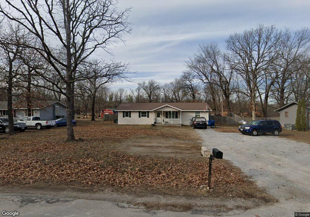
133 Red Oak Dr Unit 1 Carl Junction, MO 64834
Estimated Value: $165,000 - $196,000
3
Beds
2
Baths
1,055
Sq Ft
$172/Sq Ft
Est. Value
About This Home
This home is located at 133 Red Oak Dr Unit 1, Carl Junction, MO 64834 and is currently estimated at $181,002, approximately $171 per square foot. 133 Red Oak Dr Unit 1 is a home located in Jasper County with nearby schools including Carl Junction Primary School (K-1), Carl Junction Intermediate School, and Carl Junction Primary School (2-3).
Ownership History
Date
Name
Owned For
Owner Type
Purchase Details
Closed on
Feb 19, 2008
Sold by
Whitehead Tracy
Bought by
Homesales Inc and Homesales Of Delaware Inc
Current Estimated Value
Purchase Details
Closed on
Jun 30, 2006
Sold by
Gowing John P and Gowing Marquetta
Bought by
Whitehead Tracy
Home Financials for this Owner
Home Financials are based on the most recent Mortgage that was taken out on this home.
Original Mortgage
$78,650
Interest Rate
6.63%
Mortgage Type
Purchase Money Mortgage
Purchase Details
Closed on
Oct 28, 2005
Sold by
Beneficial Mortgage Co Of Missouri Inc
Bought by
Gowing John P and Gowing Marquetta
Home Financials for this Owner
Home Financials are based on the most recent Mortgage that was taken out on this home.
Original Mortgage
$54,500
Interest Rate
5.9%
Mortgage Type
Unknown
Create a Home Valuation Report for This Property
The Home Valuation Report is an in-depth analysis detailing your home's value as well as a comparison with similar homes in the area
Home Values in the Area
Average Home Value in this Area
Purchase History
| Date | Buyer | Sale Price | Title Company |
|---|---|---|---|
| Homesales Inc | $68,000 | None Available | |
| Whitehead Tracy | -- | Abbey | |
| Gowing John P | -- | Fatco |
Source: Public Records
Mortgage History
| Date | Status | Borrower | Loan Amount |
|---|---|---|---|
| Previous Owner | Whitehead Tracy | $78,650 | |
| Previous Owner | Gowing John P | $54,500 |
Source: Public Records
Tax History Compared to Growth
Tax History
| Year | Tax Paid | Tax Assessment Tax Assessment Total Assessment is a certain percentage of the fair market value that is determined by local assessors to be the total taxable value of land and additions on the property. | Land | Improvement |
|---|---|---|---|---|
| 2025 | $760 | $14,520 | $2,530 | $11,990 |
| 2024 | $765 | $12,990 | $2,530 | $10,460 |
| 2023 | $765 | $12,990 | $2,530 | $10,460 |
| 2022 | $752 | $12,740 | $2,530 | $10,210 |
| 2021 | $645 | $12,740 | $2,530 | $10,210 |
| 2020 | $541 | $10,500 | $2,530 | $7,970 |
| 2019 | $514 | $10,500 | $2,530 | $7,970 |
| 2018 | $495 | $10,140 | $0 | $0 |
| 2017 | $496 | $10,140 | $0 | $0 |
| 2016 | $474 | $9,770 | $0 | $0 |
| 2015 | $464 | $9,770 | $0 | $0 |
| 2014 | $464 | $9,770 | $0 | $0 |
Source: Public Records
Map
Nearby Homes
- 133 Red Oak Dr
- 121 Forest Dr
- 116 Rocky Ln
- 117 Rocky Ln
- 401 Dogwood Trails Loop
- 123 Randolph Dr
- 512 Dogwood Trails Loop
- 821 Dogwood Ln
- 7570 Quince Ln
- 25122 Gum Rd
- 6548 Mo-171
- 506 Lone Elm Dr
- XXX Lone Elm
- 210 Lakeview Ln
- 235 Timber Ln
- 304 Belgian Blue Blvd
- 9130 Missouri 171
- 337 Fairway Dr
- 232 Hickory Place
- 205 Hickory Place
- 135 Red Oak Dr
- 131 Red Oak Dr
- Xx Red Oak Dr
- X Red Oak Dr
- 118 Forest Dr
- 118 Forest Dr Unit 1
- 137 Red Oak Dr
- 129 Red Oak Dr
- 118 W Forest Dr
- 134 Red Oak Dr
- 120 Forest Dr
- 132 Red Oak Dr
- 127 Red Oak Dr
- 127 Red Oak Dr Unit 1
- 116 Forest Dr
- 139 Red Oak Dr
- 138 Red Oak Dr
- 130 Red Oak Dr
- 140 Red Oak Dr
- 122 Forest Dr