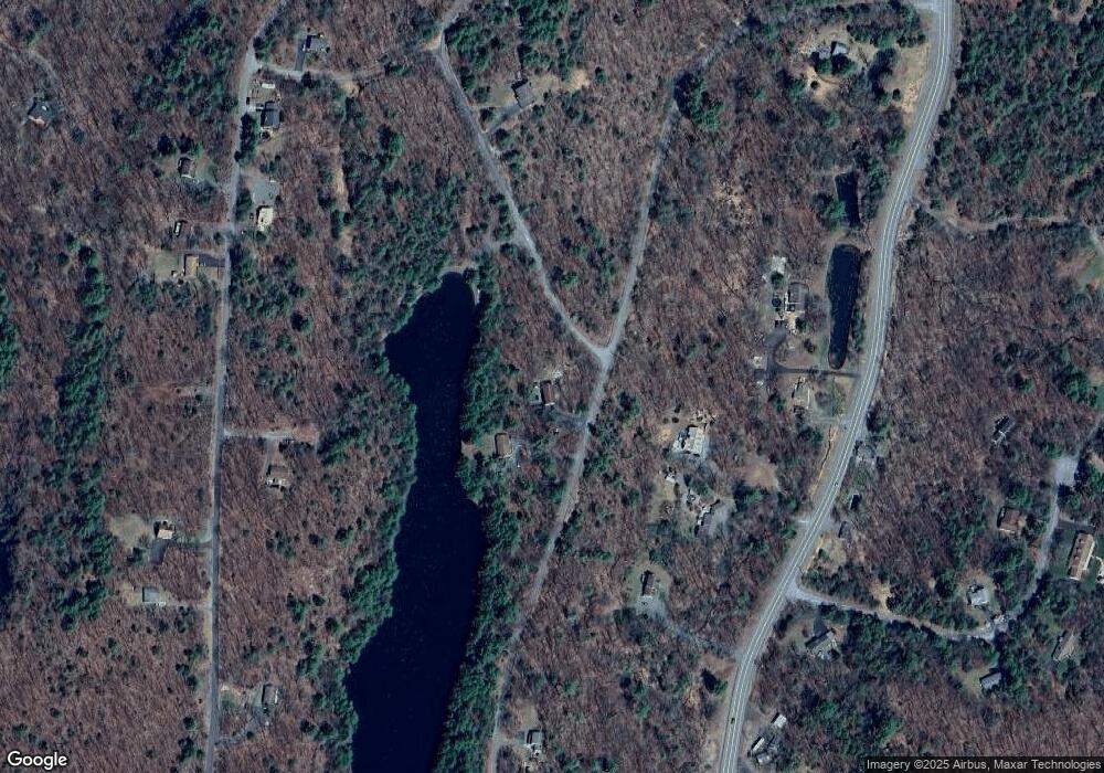
133 Rockledge Rd Dingmans Ferry, PA 18328
Estimated Value: $312,386 - $414,000
3
Beds
2
Baths
1,152
Sq Ft
$315/Sq Ft
Est. Value
About This Home
This home is located at 133 Rockledge Rd, Dingmans Ferry, PA 18328 and is currently estimated at $363,193, approximately $315 per square foot. 133 Rockledge Rd is a home with nearby schools including Delaware Valley High School.
Ownership History
Date
Name
Owned For
Owner Type
Purchase Details
Closed on
Oct 25, 2021
Sold by
Palma Dominic and Kroener Charles
Bought by
Palma Dominic and Palma Melanie A
Current Estimated Value
Home Financials for this Owner
Home Financials are based on the most recent Mortgage that was taken out on this home.
Original Mortgage
$244,200
Outstanding Balance
$223,170
Interest Rate
2.8%
Mortgage Type
FHA
Estimated Equity
$140,023
Purchase Details
Closed on
Aug 6, 2021
Sold by
Palma Melanie A
Bought by
Palma Dominic and Palma Melanie A
Home Financials for this Owner
Home Financials are based on the most recent Mortgage that was taken out on this home.
Original Mortgage
$244,200
Interest Rate
2.9%
Mortgage Type
FHA
Purchase Details
Closed on
Nov 3, 2020
Sold by
Kroener Charles
Bought by
Palma Melanie A
Create a Home Valuation Report for This Property
The Home Valuation Report is an in-depth analysis detailing your home's value as well as a comparison with similar homes in the area
Home Values in the Area
Average Home Value in this Area
Purchase History
| Date | Buyer | Sale Price | Title Company |
|---|---|---|---|
| Palma Dominic | -- | None Available | |
| Palma Dominic | -- | Atlantic Search & Abstract C | |
| Palma Melanie A | -- | None Available |
Source: Public Records
Mortgage History
| Date | Status | Borrower | Loan Amount |
|---|---|---|---|
| Open | Palma Dominic | $244,200 | |
| Closed | Palma Dominic | $244,200 |
Source: Public Records
Tax History Compared to Growth
Tax History
| Year | Tax Paid | Tax Assessment Tax Assessment Total Assessment is a certain percentage of the fair market value that is determined by local assessors to be the total taxable value of land and additions on the property. | Land | Improvement |
|---|---|---|---|---|
| 2025 | $3,819 | $24,400 | $2,500 | $21,900 |
| 2024 | $3,819 | $24,400 | $2,500 | $21,900 |
| 2023 | $3,715 | $24,400 | $2,500 | $21,900 |
| 2022 | $3,618 | $24,400 | $2,500 | $21,900 |
| 2021 | $3,581 | $24,400 | $2,500 | $21,900 |
| 2020 | $3,581 | $24,400 | $2,500 | $21,900 |
| 2019 | $3,468 | $24,400 | $2,500 | $21,900 |
| 2018 | $3,468 | $24,400 | $2,500 | $21,900 |
| 2017 | $3,402 | $24,400 | $2,500 | $21,900 |
| 2016 | $0 | $24,400 | $2,500 | $21,900 |
| 2014 | -- | $24,400 | $2,500 | $21,900 |
Source: Public Records
Map
Nearby Homes
- 0 Crest Rd
- 0 Rockledge Rd
- 179 Oakridge Dr
- 160 Oakridge Dr Unit 137
- 115 Thiel Dr
- 164 Oak Ridge Dr
- 0 Oak Ridge #145 Dr
- Lot 24 White Pine Dr
- Lot 129 Pitch Pine Rd
- 125 Deer Trail
- 0 Mountain Top Dr
- 189 Wilson Hill Rd
- Lot 31 Beaver Ct
- 107 Partridge Ct
- 107 S Pond Cir
- 163 Wild Acres Dr
- 127 Edgewater Dr Unit LOT 11 ABCD
- 360 Park Rd
- 132 N Lake Shore Dr
- 00 Park Rd
- 137 Rockledge Rd
- 1323 Milford Rd
- 518 Vale Ct
- Lot 102 Sec 5 Crest Rd
- 105 Crest Rd
- 1327 Milford Rd
- 1331 Milford Rd
- 1319 Milford Rd
- 1315 Milford Rd
- 100 Cliff Ct
- 115 High Ct Unit Lot 115 Sec 5
- 115 High Ct
- 113 High Ct
- 0 High Ct
- 105 Cliff Ct Unit 124
- 103 Cliff Ct
- 113 Crest Rd
- 66 Oakridge Dr
- 1326 Milford Rd
- 122 Oakridge Dr
