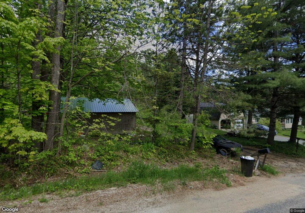
133 Rollins Ridge Rd Dixfield, ME 04224
Estimated Value: $148,000 - $237,204
--
Bed
--
Bath
480
Sq Ft
$422/Sq Ft
Est. Value
About This Home
This home is located at 133 Rollins Ridge Rd, Dixfield, ME 04224 and is currently estimated at $202,735, approximately $422 per square foot. 133 Rollins Ridge Rd is a home.
Create a Home Valuation Report for This Property
The Home Valuation Report is an in-depth analysis detailing your home's value as well as a comparison with similar homes in the area
Home Values in the Area
Average Home Value in this Area
Tax History Compared to Growth
Tax History
| Year | Tax Paid | Tax Assessment Tax Assessment Total Assessment is a certain percentage of the fair market value that is determined by local assessors to be the total taxable value of land and additions on the property. | Land | Improvement |
|---|---|---|---|---|
| 2024 | $1,316 | $58,900 | $22,700 | $36,200 |
| 2023 | $1,266 | $58,900 | $22,700 | $36,200 |
| 2022 | $387 | $18,000 | $9,900 | $8,100 |
| 2021 | $434 | $18,100 | $10,000 | $8,100 |
| 2020 | $439 | $18,300 | $10,200 | $8,100 |
| 2019 | $501 | $18,600 | $10,500 | $8,100 |
| 2018 | $500 | $18,800 | $10,700 | $8,100 |
| 2017 | $103 | $4,600 | $4,600 | $0 |
| 2016 | $90 | $4,500 | $4,500 | $0 |
| 2015 | $65 | $3,200 | $3,200 | $0 |
| 2014 | $61 | $3,151 | $3,151 | $0 |
| 2013 | $59 | $3,032 | $3,032 | $0 |
Source: Public Records
Map
Nearby Homes
- 221 More Acres Rd
- 22 E Dixfield Rd
- 2016 U S 2
- 0 Canton Mountain Rd Unit 1642193
- 020 Canton Mountain Rd
- 1059 Main St
- 450 Old Jay Hill Rd
- M222 L11 Basin Rd
- 189 Basin Rd
- 2 Gilbert St S
- 42 Fernald St
- 60 Rolling Ridge
- 5 Prospect St
- 55 Woodland Ave
- 2 Prospect St
- 158 Common Rd
- 15 Jackson Hole Dr
- 15 Highland Ave
- 683 Canton Point Rd
- M-25 L-006 Weld Rd
- 131 Rollins Ridge Rd
- 130 Rollins Ridge Rd
- 109 Rollins Ridge Rd
- 258 Rollins Ridge Rd
- 91 Rollins Ridge Rd
- 344 Severy Hill Rd
- 398 Severy Hill Rd
- 382 Severy Hill Rd
- 0 Rollins Ridge Rd Unit 1125736
- 0 Rollins Ridge Rd Unit 1260404
- 0 Rollins Ridge Rd Unit 1359512
- 0 Rollins Ridge Rd Unit 1462406
- 0 Rollins Ridge Rd Unit 1518870
- 366 Severy Hill Rd
- 63 Rollins Ridge Rd
- Lot 26-1 Severy Hill
- 220 Rollins Ridge Rd
- Lot 26L Rollins Ridge Rd
- 64 Rollins Ridge Rd
- 217 Rollins Ridge Rd