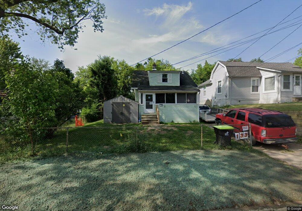
133 Ruth Ave Pontiac, MI 48341
Estimated Value: $116,000 - $165,000
3
Beds
1
Bath
988
Sq Ft
$146/Sq Ft
Est. Value
About This Home
This home is located at 133 Ruth Ave, Pontiac, MI 48341 and is currently estimated at $143,929, approximately $145 per square foot. 133 Ruth Ave is a home located in Oakland County with nearby schools including Walt Whitman Elementary School, Pontiac Middle School, and Pontiac High School.
Ownership History
Date
Name
Owned For
Owner Type
Purchase Details
Closed on
Sep 11, 2013
Sold by
Oakland County Treasurer
Bought by
Todd Michael
Current Estimated Value
Purchase Details
Closed on
Aug 28, 2013
Sold by
Todd Michael Lee
Bought by
Chris Lee Llc
Purchase Details
Closed on
Mar 19, 1999
Sold by
Furnes Rickie N
Bought by
Petrusha Marc
Home Financials for this Owner
Home Financials are based on the most recent Mortgage that was taken out on this home.
Original Mortgage
$37,000
Interest Rate
7.04%
Purchase Details
Closed on
Aug 26, 1996
Sold by
First National Accept Co
Bought by
Furness Rickie N
Create a Home Valuation Report for This Property
The Home Valuation Report is an in-depth analysis detailing your home's value as well as a comparison with similar homes in the area
Home Values in the Area
Average Home Value in this Area
Purchase History
| Date | Buyer | Sale Price | Title Company |
|---|---|---|---|
| Todd Michael | $11,910 | None Available | |
| Chris Lee Llc | -- | None Available | |
| Petrusha Marc | $34,900 | -- | |
| Furness Rickie N | -- | -- |
Source: Public Records
Mortgage History
| Date | Status | Borrower | Loan Amount |
|---|---|---|---|
| Previous Owner | Petrusha Marc | $37,000 |
Source: Public Records
Tax History Compared to Growth
Tax History
| Year | Tax Paid | Tax Assessment Tax Assessment Total Assessment is a certain percentage of the fair market value that is determined by local assessors to be the total taxable value of land and additions on the property. | Land | Improvement |
|---|---|---|---|---|
| 2024 | $1,068 | $47,430 | $0 | $0 |
| 2023 | $1,018 | $40,650 | $0 | $0 |
| 2022 | $1,046 | $35,490 | $0 | $0 |
| 2021 | $1,016 | $28,700 | $0 | $0 |
| 2020 | $925 | $25,910 | $0 | $0 |
| 2019 | $981 | $23,230 | $0 | $0 |
| 2018 | $943 | $19,750 | $0 | $0 |
| 2017 | $904 | $19,200 | $0 | $0 |
| 2016 | $928 | $17,120 | $0 | $0 |
| 2015 | -- | $15,740 | $0 | $0 |
| 2014 | -- | $15,410 | $0 | $0 |
| 2011 | -- | $22,330 | $0 | $0 |
Source: Public Records
Map
Nearby Homes
- 26 Edna Ave
- 12 Edna Ave
- 14 Riverbank Dr Unit 300-114
- 871 Menominee Rd
- 25 Riverbank Dr Unit 300-125
- 27 Riverbank Dr Unit 300-127
- 21 Canal Dr Unit 300-021
- 14 Canal Dr Unit 300-014
- 990 Voorheis Rd
- 985 James K Blvd
- 49 Canal Dr Unit 300-049
- 10 Wenonah Dr
- 38 Canal Dr Unit 300-038
- 8 Myra Ave
- 147 Draper Ave
- 10 Niagara Ave
- 181 Navajo Ave
- 1030 Menominee Rd
- 166 Cherokee Rd
- 243 Cherokee Rd