133 Seabolt Ln Blairsville, GA 30512
Estimated Value: $314,000 - $1,000,252
1
Bed
1
Bath
925
Sq Ft
$710/Sq Ft
Est. Value
About This Home
This home is located at 133 Seabolt Ln, Blairsville, GA 30512 and is currently estimated at $657,126, approximately $710 per square foot. 133 Seabolt Ln is a home with nearby schools including Union County Primary School, Union County Elementary School, and Union County Middle School.
Ownership History
Date
Name
Owned For
Owner Type
Purchase Details
Closed on
Oct 28, 2019
Sold by
Shuler Loujine B
Bought by
Shuler Loujine B and Shuler Adam
Current Estimated Value
Purchase Details
Closed on
Jan 21, 2010
Sold by
Shuler Loujine B
Bought by
Shuler Loujine B and Shuler Carl G
Purchase Details
Closed on
Mar 5, 2008
Sold by
Shuler Loujine B
Bought by
Shuler Loujine B
Purchase Details
Closed on
Jul 6, 1954
Bought by
Shuler Vester E
Create a Home Valuation Report for This Property
The Home Valuation Report is an in-depth analysis detailing your home's value as well as a comparison with similar homes in the area
Home Values in the Area
Average Home Value in this Area
Purchase History
| Date | Buyer | Sale Price | Title Company |
|---|---|---|---|
| Shuler Loujine B | -- | -- | |
| Shuler Loujine B | -- | -- | |
| Shuler Loujine B | -- | -- | |
| Shuler Vester E | -- | -- |
Source: Public Records
Tax History Compared to Growth
Tax History
| Year | Tax Paid | Tax Assessment Tax Assessment Total Assessment is a certain percentage of the fair market value that is determined by local assessors to be the total taxable value of land and additions on the property. | Land | Improvement |
|---|---|---|---|---|
| 2024 | $730 | $327,400 | $299,800 | $27,600 |
| 2023 | $813 | $327,240 | $299,800 | $27,440 |
| 2022 | $720 | $253,920 | $231,120 | $22,800 |
| 2021 | $771 | $249,400 | $231,120 | $18,280 |
| 2020 | $718 | $143,931 | $132,158 | $11,773 |
| 2019 | $669 | $143,931 | $132,158 | $11,773 |
| 2018 | $2,528 | $143,931 | $132,158 | $11,773 |
| 2017 | $637 | $143,931 | $132,158 | $11,773 |
| 2016 | $2,045 | $116,364 | $100,678 | $15,686 |
| 2015 | $2,063 | $116,364 | $100,678 | $15,686 |
| 2013 | -- | $116,364 | $100,677 | $15,686 |
Source: Public Records
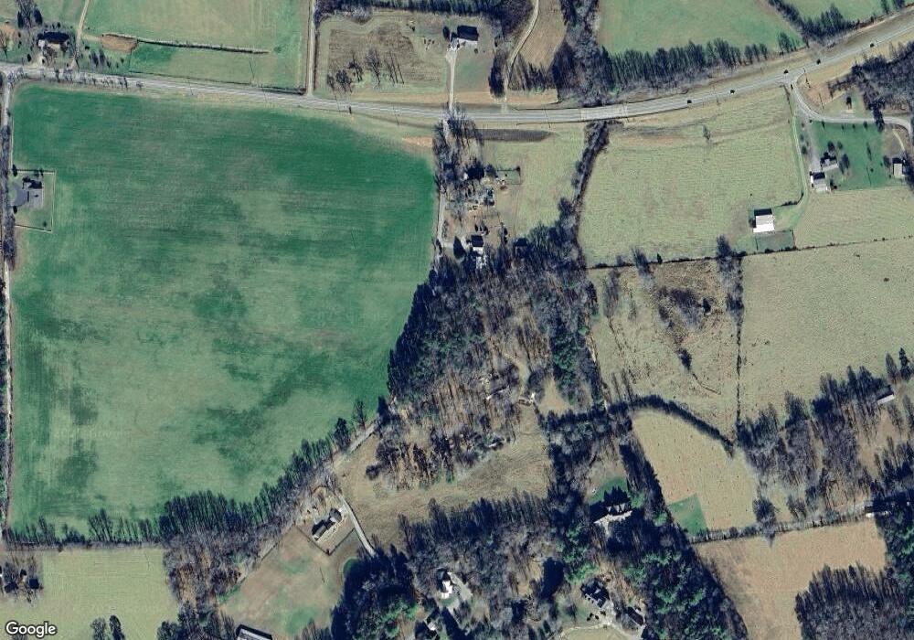
Map
Nearby Homes
- 49 Dills Road Extension
- 311 Lonesome Pine Trail
- 463 Roberts Rd
- 342 Lonesome Pine Trail
- 724 Fish Cove Rd
- 266 E Wright Rd
- 8 Hawks View Ct
- LOT #90 the Hills at Queens Gap
- 84 Knights Way
- 0 the Hills Ln Unit 88 10316686
- 0 the Hills Ln Unit 7402098
- 975 Bunker Hill Rd
- 652 Stennes Gap Rd
- 341 Holly Lane Rd
- 862 Stennes Gap Rd
- 106 Lost Trail
- 0 Seabolt Ln Unit 8393099
- 0 Seabolt Ln Unit 3051117
- 0 Seabolt Ln
- 62 Wrangler Dr
- 85 Seabolt Ln
- 352 Hicks Gap Rd
- 3200 Cane Hollow Farm Rd
- 6005 Dills Rd
- 11 Dills Road Extension
- 29 Seabolt Ln
- 6606 Blue Ridge Hwy
- 5975 Dills Road Extension
- 3258 Cane Hollow Farm Rd
- 289 Seabolt Ln
- 30 Hicks Gap Rd
- 437 Seabolt Ln
- 77 Mason Rd
- 84 Hicks Gap Rd
- 84 Chapel Hill Rd
- 469 Seabolt Ln