133 Shore Rd Douglas, MA 01516
Estimated Value: $426,000 - $576,000
3
Beds
1
Bath
960
Sq Ft
$537/Sq Ft
Est. Value
About This Home
This home is located at 133 Shore Rd, Douglas, MA 01516 and is currently estimated at $515,625, approximately $537 per square foot. 133 Shore Rd is a home located in Worcester County with nearby schools including Douglas Primary School, Douglas Middle School, and Douglas High School.
Ownership History
Date
Name
Owned For
Owner Type
Purchase Details
Closed on
Jul 13, 2010
Sold by
Shore Road Rt and Bopp John E
Bought by
Griffin Gary and Lacava Donna
Current Estimated Value
Home Financials for this Owner
Home Financials are based on the most recent Mortgage that was taken out on this home.
Original Mortgage
$215,000
Outstanding Balance
$143,298
Interest Rate
4.78%
Mortgage Type
Purchase Money Mortgage
Estimated Equity
$372,327
Purchase Details
Closed on
Nov 16, 2006
Sold by
Henderson Virginia A
Bought by
Shore Road Rt and Bopp John E
Create a Home Valuation Report for This Property
The Home Valuation Report is an in-depth analysis detailing your home's value as well as a comparison with similar homes in the area
Home Values in the Area
Average Home Value in this Area
Purchase History
| Date | Buyer | Sale Price | Title Company |
|---|---|---|---|
| Griffin Gary | $274,200 | -- | |
| Shore Road Rt | $150,000 | -- |
Source: Public Records
Mortgage History
| Date | Status | Borrower | Loan Amount |
|---|---|---|---|
| Open | Griffin Gary | $215,000 |
Source: Public Records
Tax History Compared to Growth
Tax History
| Year | Tax Paid | Tax Assessment Tax Assessment Total Assessment is a certain percentage of the fair market value that is determined by local assessors to be the total taxable value of land and additions on the property. | Land | Improvement |
|---|---|---|---|---|
| 2025 | $60 | $454,000 | $278,100 | $175,900 |
| 2024 | $5,599 | $414,100 | $241,800 | $172,300 |
| 2023 | $5,682 | $395,700 | $241,800 | $153,900 |
| 2022 | $4,529 | $277,200 | $154,500 | $122,700 |
| 2021 | $4,356 | $260,500 | $147,200 | $113,300 |
| 2020 | $6,612 | $254,100 | $147,200 | $106,900 |
| 2019 | $4,274 | $244,200 | $147,200 | $97,000 |
| 2018 | $3,850 | $239,600 | $147,200 | $92,400 |
| 2017 | $3,959 | $236,800 | $160,300 | $76,500 |
| 2016 | $3,922 | $233,200 | $160,300 | $72,900 |
| 2015 | $3,838 | $233,200 | $160,300 | $72,900 |
Source: Public Records
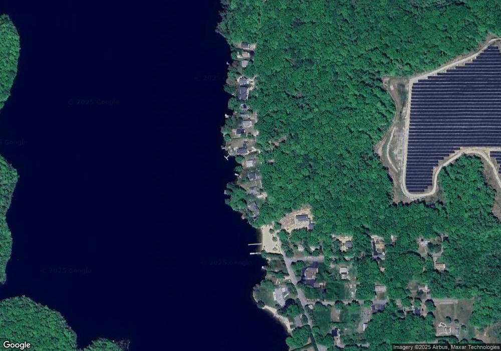
Map
Nearby Homes
- 0 Walnut Hill Rd
- 68 Birch Hill Rd
- 12 Richie Rd
- 60 Shore Rd
- 94 S Shore Rd
- 2380 Wallum Lake Rd
- 2535 Wallum Lake Rd
- 138 Walnut St
- 0 Wallum Lake Rd
- 59 Old Farm Rd
- 38 Hemlock St
- 1300 Wallum Lake Rd
- 16 Hilltop Dr
- 75 Staghead Dr
- 11 Old Farm Rd
- 50 Round Lake Dr
- 29 Round Lake Dr
- 198 Lower Gore Rd
- 597 E Thompson Rd Unit Lot 10C
- 104 Vine St