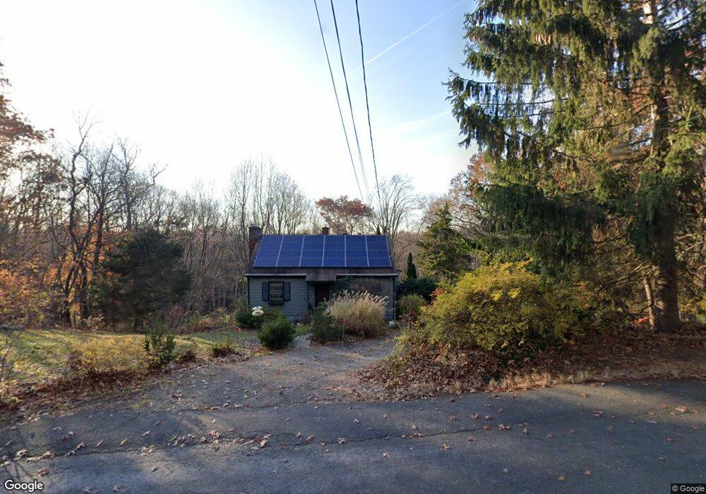
133 Sperry Rd Bethany, CT 06524
Estimated Value: $416,000 - $467,000
3
Beds
3
Baths
1,578
Sq Ft
$277/Sq Ft
Est. Value
About This Home
This home is located at 133 Sperry Rd, Bethany, CT 06524 and is currently estimated at $437,826, approximately $277 per square foot. 133 Sperry Rd is a home located in New Haven County with nearby schools including Bethany Community School.
Ownership History
Date
Name
Owned For
Owner Type
Purchase Details
Closed on
May 3, 2006
Sold by
Obrien Thomas M and Obrien Sheila M
Bought by
Kahill Susan
Current Estimated Value
Purchase Details
Closed on
May 12, 1987
Sold by
Lane Stephen
Bought by
Obrien Thomas M
Create a Home Valuation Report for This Property
The Home Valuation Report is an in-depth analysis detailing your home's value as well as a comparison with similar homes in the area
Home Values in the Area
Average Home Value in this Area
Purchase History
| Date | Buyer | Sale Price | Title Company |
|---|---|---|---|
| Kahill Susan | $374,000 | -- | |
| Kahill Susan | $374,000 | -- | |
| Obrien Thomas M | $221,500 | -- |
Source: Public Records
Mortgage History
| Date | Status | Borrower | Loan Amount |
|---|---|---|---|
| Open | Obrien Thomas M | $225,112 | |
| Closed | Obrien Thomas M | $25,000 |
Source: Public Records
Tax History
| Year | Tax Paid | Tax Assessment Tax Assessment Total Assessment is a certain percentage of the fair market value that is determined by local assessors to be the total taxable value of land and additions on the property. | Land | Improvement |
|---|---|---|---|---|
| 2025 | $6,325 | $217,070 | $87,220 | $129,850 |
| 2024 | $6,169 | $217,070 | $87,220 | $129,850 |
| 2023 | $6,786 | $179,620 | $96,920 | $82,700 |
| 2022 | $6,466 | $179,620 | $96,920 | $82,700 |
| 2021 | $6,197 | $179,620 | $96,920 | $82,700 |
| 2020 | $6,567 | $179,620 | $96,920 | $82,700 |
| 2019 | $6,628 | $179,620 | $96,920 | $82,700 |
| 2018 | $6,225 | $168,700 | $89,100 | $79,600 |
| 2017 | $6,225 | $168,700 | $89,100 | $79,600 |
| 2016 | $5,927 | $166,960 | $89,100 | $77,860 |
| 2015 | $5,850 | $166,960 | $89,100 | $77,860 |
| 2014 | $5,660 | $166,960 | $89,100 | $77,860 |
Source: Public Records
Map
Nearby Homes
- 349 Amity Rd
- 370 Amity Rd
- 347 Amity Rd
- 14 Briar Rd
- 23 Country Ln
- 74 Farm View Rd
- 36 Country Ln
- 36 Norman Rd
- 22 Emerald Ln
- 52 Quarry Ln
- 14 Zak Hill Dr
- 53 Rock Hill Rd
- 1380 Paradise Ave
- 1125 W Woods Rd Unit 37
- 76 Gaylord Mountain Rd
- 9 Perkins Rd
- 461 Amity Rd
- 766 Paradise Ave
- 33 Fairground Rd
- 645 Paradise Ave
- 141 Sperry Rd
- 125 Sperry Rd
- 155 Sperry Rd
- 160 Sperry Rd
- 117 Sperry Rd
- 165 Sperry Rd
- 158 Sperry Rd
- 116 Sperry Rd
- 154 Sperry Rd Unit 158
- 109 Sperry Rd
- 168 Sperry Rd
- 117 Litchfield Turnpike
- 103 Sperry Rd
- 106 Sperry Rd
- 91 Sperry Rd
- 98 Sperry Rd
- 113 Litchfield Turnpike
- 184 Sperry Rd
- 85 Sperry Rd
- 84 Sperry Rd
Your Personal Tour Guide
Ask me questions while you tour the home.