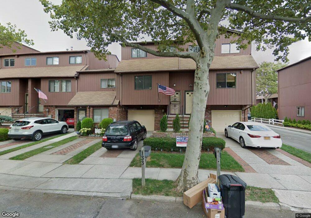
133 Stonegate Dr Unit 204 Staten Island, NY 10304
Concord NeighborhoodEstimated Value: $684,000 - $770,000
--
Bed
--
Bath
2,051
Sq Ft
$356/Sq Ft
Est. Value
About This Home
This home is located at 133 Stonegate Dr Unit 204, Staten Island, NY 10304 and is currently estimated at $729,179, approximately $355 per square foot. 133 Stonegate Dr Unit 204 is a home located in Richmond County with nearby schools including P.S. 48 - William C. Wilcox, I.S. 49 Berta A Dreyfus, and New Dorp High School.
Ownership History
Date
Name
Owned For
Owner Type
Purchase Details
Closed on
Jul 22, 2020
Sold by
Bianco Philip and Bianco Annette
Bought by
Kavaja Elton and Kavaja Phil Bianco
Current Estimated Value
Purchase Details
Closed on
Apr 3, 2003
Sold by
Bianco Frank and Bianco Philip
Bought by
Bianco Philip and Bianco Annette
Purchase Details
Closed on
Dec 9, 1996
Sold by
Bianco Frank and Bianco Jennie
Bought by
Bianco Frank and Bianco Philip
Create a Home Valuation Report for This Property
The Home Valuation Report is an in-depth analysis detailing your home's value as well as a comparison with similar homes in the area
Home Values in the Area
Average Home Value in this Area
Purchase History
| Date | Buyer | Sale Price | Title Company |
|---|---|---|---|
| Kavaja Elton | -- | None Available | |
| Bianco Philip | $25,000 | -- | |
| Bianco Frank | -- | Commonwealth Land Title Ins |
Source: Public Records
Tax History Compared to Growth
Tax History
| Year | Tax Paid | Tax Assessment Tax Assessment Total Assessment is a certain percentage of the fair market value that is determined by local assessors to be the total taxable value of land and additions on the property. | Land | Improvement |
|---|---|---|---|---|
| 2025 | $5,749 | $39,705 | $4,194 | $35,511 |
| 2024 | $5,749 | $32,440 | $5,095 | $27,345 |
| 2023 | $5,424 | $27,004 | $5,161 | $21,843 |
| 2022 | $5,174 | $26,895 | $5,774 | $21,121 |
| 2021 | $5,058 | $24,033 | $5,774 | $18,259 |
| 2020 | $5,404 | $26,265 | $5,774 | $20,491 |
| 2019 | $5,281 | $25,353 | $5,774 | $19,579 |
| 2018 | $4,855 | $23,818 | $5,638 | $18,180 |
| 2017 | $4,580 | $22,470 | $5,774 | $16,696 |
| 2016 | $4,319 | $21,604 | $5,775 | $15,829 |
| 2015 | $4,183 | $21,274 | $5,774 | $15,500 |
| 2014 | $4,183 | $21,798 | $5,508 | $16,290 |
Source: Public Records
Map
Nearby Homes
- 31 Alan Loop Unit 65
- 164 Stonegate Dr
- 72 Alan Loop
- 63 Gateway Dr Unit 172
- 4 Sheridan Ave
- 98 N Railroad Ave
- 89 Columbus Ave
- 23 Marie St
- 25 Marie St
- 84 Sheridan Ave
- 1890 Clove Rd
- 62 Columbus Ave
- 456 Oder Ave
- 24 Roosevelt St
- 80 Hillcrest Terrace
- 1 Neckar Ave
- 22 Scranton St
- 448 Neckar Ave
- 69 Fayette Ave
- 81 Providence St
- 135 Stonegate Dr Unit 203
- 131 Stonegate Dr Unit 20
- 137 Stonegate Dr
- 139 Stonegate Dr
- 85 Stonegate Dr
- 141 Stonegate Dr
- 83 Stonegate Dr Unit 233
- 133 Gateway Dr Unit 206
- 81 Stonegate Dr
- 135 Gateway Dr
- 137 Gateway Dr
- 137 Gateway Dr Unit 208
- 79 Stonegate Dr
- 139 Gateway Dr
- 130 Stonegate Dr
- 77 Stonegate Dr Unit 236
- 89 Stonegate Dr
- 141 Gateway Dr
- 140 Stonegate Dr
- 75 Stonegate Dr Unit 237