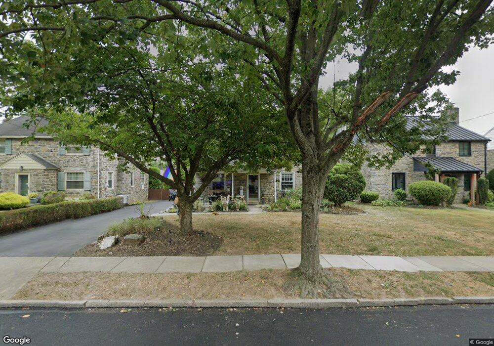
133 Sutton Rd Ardmore, PA 19003
Estimated Value: $1,026,000 - $1,486,000
4
Beds
2
Baths
3,731
Sq Ft
$328/Sq Ft
Est. Value
About This Home
This home is located at 133 Sutton Rd, Ardmore, PA 19003 and is currently estimated at $1,223,613, approximately $327 per square foot. 133 Sutton Rd is a home located in Montgomery County with nearby schools including Penn Valley School, Welsh Valley Middle School, and Lower Merion High School.
Ownership History
Date
Name
Owned For
Owner Type
Purchase Details
Closed on
Oct 19, 2010
Sold by
Trentacoste Peter Andrew and Bloom Trentacoste Michelle
Bought by
Trentacoste Peter Andrew
Current Estimated Value
Home Financials for this Owner
Home Financials are based on the most recent Mortgage that was taken out on this home.
Original Mortgage
$380,966
Outstanding Balance
$252,164
Interest Rate
4.41%
Estimated Equity
$971,449
Purchase Details
Closed on
Aug 22, 2001
Sold by
Terry Robert F and Terry Patricia D
Bought by
Trentacoste Peter Andrew and Bloomtrentacoste Michelle
Create a Home Valuation Report for This Property
The Home Valuation Report is an in-depth analysis detailing your home's value as well as a comparison with similar homes in the area
Home Values in the Area
Average Home Value in this Area
Purchase History
| Date | Buyer | Sale Price | Title Company |
|---|---|---|---|
| Trentacoste Peter Andrew | -- | None Available | |
| Trentacoste Peter Andrew | $275,000 | -- |
Source: Public Records
Mortgage History
| Date | Status | Borrower | Loan Amount |
|---|---|---|---|
| Open | Trentacoste Peter Andrew | $380,966 |
Source: Public Records
Tax History
| Year | Tax Paid | Tax Assessment Tax Assessment Total Assessment is a certain percentage of the fair market value that is determined by local assessors to be the total taxable value of land and additions on the property. | Land | Improvement |
|---|---|---|---|---|
| 2025 | $10,141 | $242,820 | -- | -- |
| 2024 | $10,141 | $242,820 | -- | -- |
| 2023 | $9,718 | $242,820 | $0 | $0 |
| 2022 | $9,538 | $242,820 | $0 | $0 |
| 2021 | $9,321 | $242,820 | $0 | $0 |
| 2020 | $9,093 | $242,820 | $0 | $0 |
| 2019 | $8,933 | $242,820 | $0 | $0 |
Source: Public Records
Map
Nearby Homes
- 124 Grandview Rd
- 116 Grandview Rd
- 132 Linwood Ave
- 1525 W Wynnewood Rd
- 142 Arnold Rd
- 145 Walnut Ave
- 724 Loraine St
- 140 Walnut Ave
- 2432 Olcott Ave
- 383 Lakeside Rd Unit 105
- 612 Argyle Cir
- 754 Oak View Rd
- 761 Hathaway Ln
- 222 Lippincott Ave
- 2757 Saint Marys Rd
- 1522 Knox Rd
- 1 1/2 W Athens Ave
- 818 Clifford Ave
- 22 Llanfair Rd Unit 1
- 15 Llanfair Rd Unit A
Your Personal Tour Guide
Ask me questions while you tour the home.