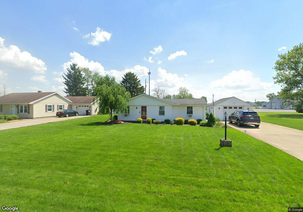
133 Thomas Dr Fremont, OH 43420
Estimated Value: $177,000 - $259,000
3
Beds
1
Bath
1,107
Sq Ft
$180/Sq Ft
Est. Value
About This Home
This home is located at 133 Thomas Dr, Fremont, OH 43420 and is currently estimated at $198,862, approximately $179 per square foot. 133 Thomas Dr is a home located in Sandusky County with nearby schools including Fremont Ross High School, St. Ann Catholic School, and St. Joseph School.
Ownership History
Date
Name
Owned For
Owner Type
Purchase Details
Closed on
Jun 1, 2007
Sold by
Reardon Ryan P
Bought by
Rios Alberto
Current Estimated Value
Home Financials for this Owner
Home Financials are based on the most recent Mortgage that was taken out on this home.
Original Mortgage
$113,500
Outstanding Balance
$69,563
Interest Rate
6.22%
Mortgage Type
VA
Estimated Equity
$129,299
Purchase Details
Closed on
Aug 27, 1999
Sold by
Gangwer Douglas G
Bought by
Reardon Ryan P
Home Financials for this Owner
Home Financials are based on the most recent Mortgage that was taken out on this home.
Original Mortgage
$76,000
Interest Rate
7.61%
Mortgage Type
New Conventional
Purchase Details
Closed on
Dec 1, 1992
Sold by
Reardon Ryan P
Bought by
Rios Alberto
Purchase Details
Closed on
Jun 1, 1989
Bought by
Rios Alberto
Create a Home Valuation Report for This Property
The Home Valuation Report is an in-depth analysis detailing your home's value as well as a comparison with similar homes in the area
Home Values in the Area
Average Home Value in this Area
Purchase History
| Date | Buyer | Sale Price | Title Company |
|---|---|---|---|
| Rios Alberto | $85,125 | Firelands | |
| Reardon Ryan P | $80,000 | -- | |
| Rios Alberto | $58,500 | -- | |
| Rios Alberto | $38,000 | -- |
Source: Public Records
Mortgage History
| Date | Status | Borrower | Loan Amount |
|---|---|---|---|
| Open | Rios Alberto | $113,500 | |
| Previous Owner | Reardon Ryan P | $76,000 |
Source: Public Records
Tax History Compared to Growth
Tax History
| Year | Tax Paid | Tax Assessment Tax Assessment Total Assessment is a certain percentage of the fair market value that is determined by local assessors to be the total taxable value of land and additions on the property. | Land | Improvement |
|---|---|---|---|---|
| 2024 | $2,194 | $49,180 | $14,490 | $34,690 |
| 2023 | $2,194 | $39,350 | $11,590 | $27,760 |
| 2022 | $1,917 | $39,350 | $11,590 | $27,760 |
| 2021 | $1,966 | $39,350 | $11,590 | $27,760 |
| 2020 | $1,622 | $30,490 | $11,590 | $18,900 |
| 2019 | $1,621 | $30,490 | $11,590 | $18,900 |
| 2018 | $1,623 | $30,490 | $11,590 | $18,900 |
| 2017 | $1,556 | $28,780 | $11,590 | $17,190 |
| 2016 | $1,411 | $28,780 | $11,590 | $17,190 |
| 2015 | $1,394 | $28,780 | $11,590 | $17,190 |
| 2014 | $1,703 | $35,500 | $14,810 | $20,690 |
| 2013 | $1,675 | $35,500 | $14,810 | $20,690 |
Source: Public Records
Map
Nearby Homes
- 2219 Oak Harbor Rd
- 0 Sean Dr
- Outlot A Sean Dr
- 1441 White Ave
- 1720 North St
- 1707 North St
- 1227 White Ave
- 1730 Port Clinton Rd Unit 41
- 1730 Port Clinton Rd
- 1730 Port Clinton Rd Unit 33
- 2100 Ohio 53
- 927 Wolfe Ave
- 816 Lime St
- 1823 W State St
- 900 Spring St
- 818 Franklin Ave
- 711 Rawson Ave
- 2119 Lake St
- 520 Everett Rd
- 515 Everett Rd