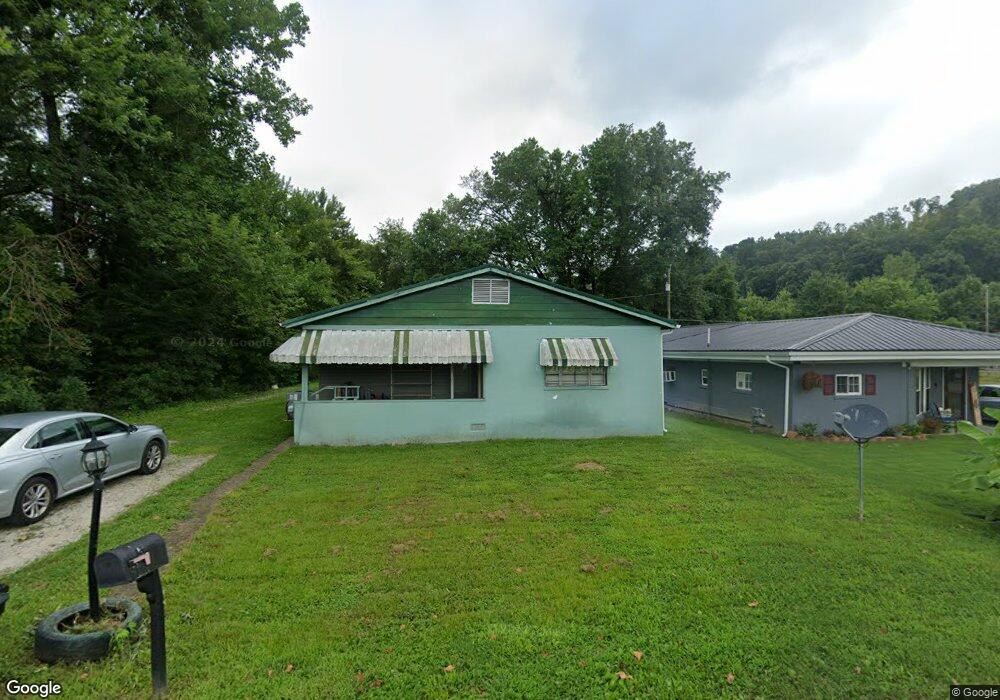
133 Top St Unit 1067 South Point, OH 45680
Burlington NeighborhoodEstimated Value: $125,000 - $166,000
2
Beds
1
Bath
1,333
Sq Ft
$110/Sq Ft
Est. Value
About This Home
This home is located at 133 Top St Unit 1067, South Point, OH 45680 and is currently estimated at $147,286, approximately $110 per square foot. 133 Top St Unit 1067 is a home located in Lawrence County with nearby schools including South Point High School and Grace Christian School.
Ownership History
Date
Name
Owned For
Owner Type
Purchase Details
Closed on
Feb 19, 2007
Sold by
Payne Linda and Payne David
Bought by
Payne Linda and Payne David
Current Estimated Value
Purchase Details
Closed on
Aug 27, 2006
Sold by
Estate Of Elsie M Thurston
Bought by
Payne Linda
Purchase Details
Closed on
Aug 31, 1999
Sold by
Thurston Elsie
Bought by
Payne Linda
Create a Home Valuation Report for This Property
The Home Valuation Report is an in-depth analysis detailing your home's value as well as a comparison with similar homes in the area
Home Values in the Area
Average Home Value in this Area
Purchase History
| Date | Buyer | Sale Price | Title Company |
|---|---|---|---|
| Payne Linda | -- | Attorney | |
| Payne Linda | -- | None Available | |
| Payne Linda | -- | -- |
Source: Public Records
Tax History Compared to Growth
Tax History
| Year | Tax Paid | Tax Assessment Tax Assessment Total Assessment is a certain percentage of the fair market value that is determined by local assessors to be the total taxable value of land and additions on the property. | Land | Improvement |
|---|---|---|---|---|
| 2024 | -- | $23,210 | $5,250 | $17,960 |
| 2023 | $725 | $23,210 | $5,250 | $17,960 |
| 2022 | $722 | $23,210 | $5,250 | $17,960 |
| 2021 | $671 | $20,770 | $4,280 | $16,490 |
| 2020 | $686 | $20,770 | $4,280 | $16,490 |
| 2019 | $682 | $20,770 | $4,280 | $16,490 |
| 2018 | $684 | $20,550 | $4,200 | $16,350 |
| 2017 | $683 | $20,550 | $4,200 | $16,350 |
| 2016 | $635 | $20,550 | $4,200 | $16,350 |
| 2015 | $599 | $18,960 | $4,200 | $14,760 |
| 2014 | $610 | $18,960 | $4,200 | $14,760 |
| 2013 | $713 | $18,960 | $4,200 | $14,760 |
Source: Public Records
Map
Nearby Homes
- 41 Township Rd
- 245 Township Rd
- 15 Township Rd
- 78 Township Road 1430
- 154 Township Road 1430
- 20 Private Drive 52 Unit F
- 71 B Private Drive 54
- 82 C Private Dr 54
- 82 Private Drive 54 Unit B
- 161 Township Road 1020
- 260 Kentucky St
- 216 32nd St W
- 227 32nd St W
- 4218 Auburn Rd
- 2374 County Road 144
- 4132 Brandon Rd
- 1 Waverly Rd
- 3 Waverly Rd
- 2 Waverly Rd
- 2730 Orchard Ave
- 133 Top St Unit 1345
- 133 Top St Unit 1026
- 133 Top St Unit 1424
- 133 Top St Unit 1425
- 69 Township Road 1424
- 207 Township Road 1067
- 105 Top St Unit 616
- 105 Top St Unit 1025
- 105 Township Road 1425
- 105 Top St
- 105 Top St Unit 1020
- 105 Top St Unit 1425
- 105 Top St Unit 1357
- 105 Top St Unit 1410
- 105 Top St Unit 135
- 105 Top St Unit 1018
- 171 Top St Unit 1425
- 8261 County Road 1
- 8165 County Road 1
- 8233 County Road 1