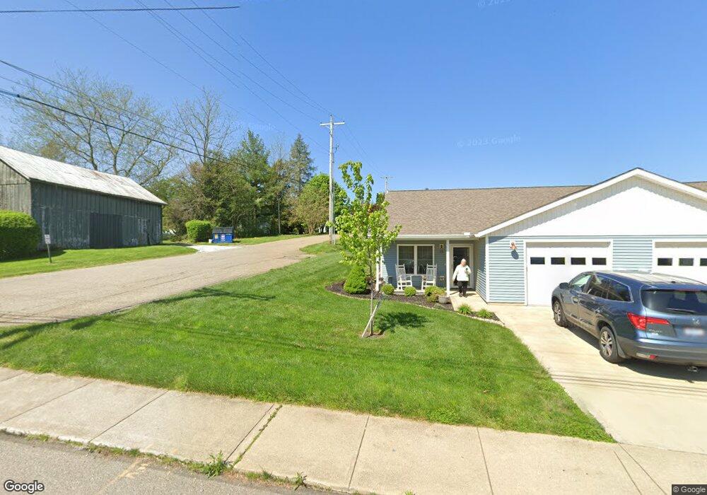
133 W 2nd St Fredericktown, OH 43019
Estimated Value: $102,000 - $159,000
2
Beds
1
Bath
1,084
Sq Ft
$127/Sq Ft
Est. Value
About This Home
This home is located at 133 W 2nd St, Fredericktown, OH 43019 and is currently estimated at $137,396, approximately $126 per square foot. 133 W 2nd St is a home located in Knox County with nearby schools including Fredericktown Elementary School, Fredericktown Middle School, and Fredericktown High School.
Ownership History
Date
Name
Owned For
Owner Type
Purchase Details
Closed on
Aug 14, 2013
Sold by
Acker Shad I and Acker Melanne R
Bought by
Grant Properties Ltd
Current Estimated Value
Purchase Details
Closed on
Mar 15, 2012
Sold by
Grant Properties Ltd
Bought by
Acker Shad I and Acker Melanne R
Purchase Details
Closed on
Sep 22, 2009
Sold by
Testa Melanne R
Bought by
Grant Properties Ltd
Purchase Details
Closed on
Jan 12, 1999
Sold by
Testa Marilyn L and Testa Donald
Bought by
Testa Melanne R
Purchase Details
Closed on
Dec 29, 1998
Sold by
Testa Donald D and Testa Marilyn
Bought by
Testa Marilyn L and Testa Donald
Purchase Details
Closed on
Dec 8, 1994
Sold by
Testa Vincent M
Bought by
Testa Donald D and Testa Marilyn
Purchase Details
Closed on
Feb 22, 1994
Sold by
Testa Donald D and Testa Marilyn
Bought by
Testa Vincent M
Purchase Details
Closed on
Oct 18, 1988
Sold by
Mullin Marilyn A
Bought by
Testa Donald D and Testa Marilyn
Create a Home Valuation Report for This Property
The Home Valuation Report is an in-depth analysis detailing your home's value as well as a comparison with similar homes in the area
Home Values in the Area
Average Home Value in this Area
Purchase History
| Date | Buyer | Sale Price | Title Company |
|---|---|---|---|
| Grant Properties Ltd | -- | None Available | |
| Acker Shad I | -- | None Available | |
| Grant Properties Ltd | -- | None Available | |
| Testa Melanne R | -- | -- | |
| Testa Marilyn L | -- | -- | |
| Testa Donald D | $22,000 | -- | |
| Testa Vincent M | $21,500 | -- | |
| Testa Donald D | $21,500 | -- |
Source: Public Records
Tax History Compared to Growth
Tax History
| Year | Tax Paid | Tax Assessment Tax Assessment Total Assessment is a certain percentage of the fair market value that is determined by local assessors to be the total taxable value of land and additions on the property. | Land | Improvement |
|---|---|---|---|---|
| 2024 | $1,000 | $24,380 | $5,630 | $18,750 |
| 2023 | $1,000 | $24,380 | $5,630 | $18,750 |
| 2022 | $790 | $16,810 | $3,880 | $12,930 |
| 2021 | $790 | $16,810 | $3,880 | $12,930 |
| 2020 | $779 | $16,810 | $3,880 | $12,930 |
| 2019 | $700 | $14,330 | $4,190 | $10,140 |
| 2018 | $699 | $14,330 | $4,190 | $10,140 |
| 2017 | $690 | $14,330 | $4,190 | $10,140 |
| 2016 | $643 | $13,270 | $3,880 | $9,390 |
| 2015 | $604 | $13,270 | $3,880 | $9,390 |
| 2014 | $605 | $13,270 | $3,880 | $9,390 |
| 2013 | $611 | $12,560 | $3,650 | $8,910 |
Source: Public Records
Map
Nearby Homes
- 65 W College St
- 29 W Sandusky St
- 60 High St
- 95 S Mulberry St
- 191 Tuttle Ave
- 64 S Main St
- 53 Zent Ave
- 228 Taylor St
- 69 Mount Vernon Ave
- 5 Arrowhead Dr
- 15 Crestview Dr
- 1 Freeway Ave
- 0 Upper Fredericktown Rd
- 11810 Woodview Ln
- 18245 Waterford Rd
- 0
- 0 Crooked Street Land Split 2
- 11936 Yankee St
- 0 Crooked St
- 134 W 2nd St
- 136 W Sandusky St
- 122 W Sandusky St
- 140 W Sandusky St
- 110 W Sandusky St
- 26 Carol Dr
- 26 Carol Dr
- Lot 3 W Sandusky St
- Lot 2 W Sandusky St
- Lot 1 W Sandusky St
- 0 W Sandusky St Unit Lot 1 216035447
- 0 W Sandusky St Unit Lot 2 216035453
- 0 W Sandusky St Unit Lot 3 216035459
- 0 W Sandusky St
- 20 Taylor St
- 22 Taylor St
- 137 W Sandusky St
- 152 W Sandusky St
- 129 W Sandusky St
- 102 W Sandusky St