133 Walker Pond Rd Sturbridge, MA 01566
Estimated Value: $528,000 - $580,000
4
Beds
5
Baths
2,397
Sq Ft
$233/Sq Ft
Est. Value
About This Home
This home is located at 133 Walker Pond Rd, Sturbridge, MA 01566 and is currently estimated at $558,502, approximately $233 per square foot. 133 Walker Pond Rd is a home located in Worcester County with nearby schools including Burgess Elementary School, Tantasqua Regional Junior High School, and Tantasqua Regional High School.
Ownership History
Date
Name
Owned For
Owner Type
Purchase Details
Closed on
Sep 15, 2006
Sold by
Emrich Helen J
Bought by
Banks Elizabeth E
Current Estimated Value
Home Financials for this Owner
Home Financials are based on the most recent Mortgage that was taken out on this home.
Original Mortgage
$162,000
Outstanding Balance
$97,499
Interest Rate
6.71%
Mortgage Type
Purchase Money Mortgage
Estimated Equity
$461,003
Create a Home Valuation Report for This Property
The Home Valuation Report is an in-depth analysis detailing your home's value as well as a comparison with similar homes in the area
Home Values in the Area
Average Home Value in this Area
Purchase History
| Date | Buyer | Sale Price | Title Company |
|---|---|---|---|
| Banks Elizabeth E | $262,000 | -- |
Source: Public Records
Mortgage History
| Date | Status | Borrower | Loan Amount |
|---|---|---|---|
| Open | Banks Elizabeth E | $162,000 |
Source: Public Records
Tax History
| Year | Tax Paid | Tax Assessment Tax Assessment Total Assessment is a certain percentage of the fair market value that is determined by local assessors to be the total taxable value of land and additions on the property. | Land | Improvement |
|---|---|---|---|---|
| 2025 | $7,591 | $476,500 | $105,600 | $370,900 |
| 2024 | $7,295 | $442,400 | $103,500 | $338,900 |
| 2023 | $6,879 | $380,700 | $89,800 | $290,900 |
| 2022 | $6,626 | $346,000 | $81,100 | $264,900 |
| 2021 | $6,052 | $318,200 | $77,300 | $240,900 |
| 2020 | $6,052 | $318,200 | $77,300 | $240,900 |
| 2019 | $5,791 | $302,400 | $79,500 | $222,900 |
| 2018 | $5,746 | $295,600 | $75,700 | $219,900 |
| 2017 | $5,481 | $282,500 | $73,000 | $209,500 |
| 2016 | $5,264 | $274,000 | $70,800 | $203,200 |
| 2015 | $4,183 | $217,400 | $70,800 | $146,600 |
Source: Public Records
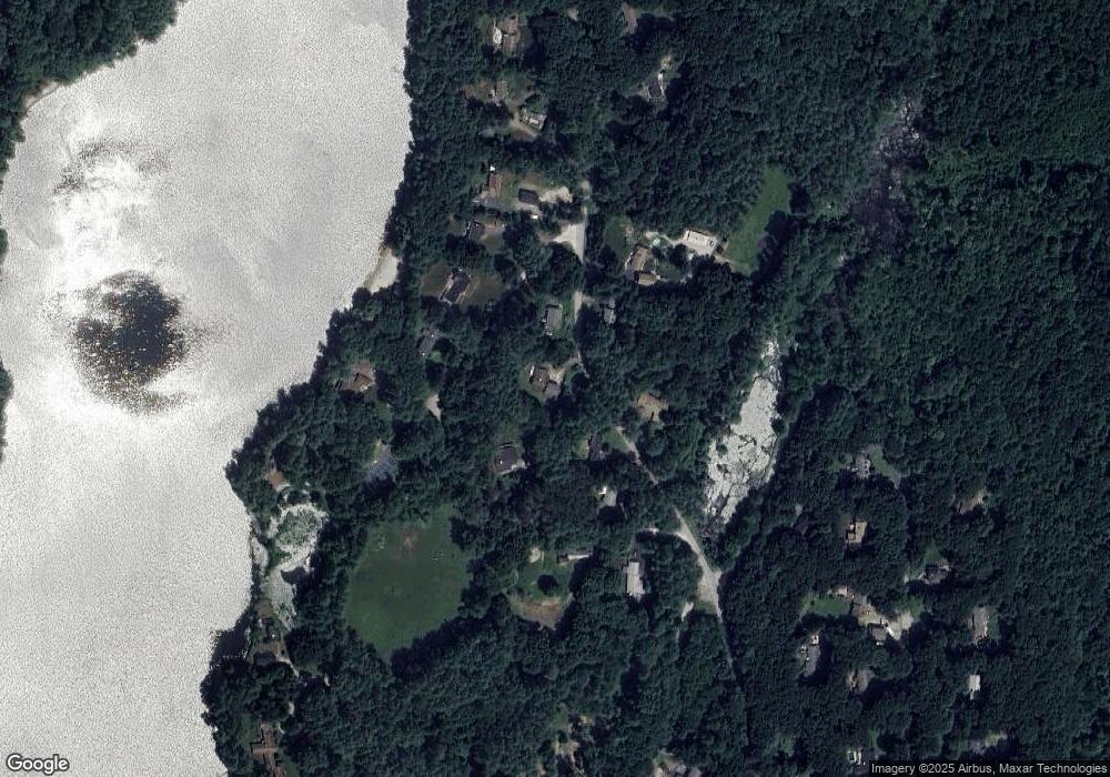
Map
Nearby Homes
- 7 Woodlawn Dr
- 13 Woodlawn Dr
- 37 Woodlawn Dr
- 6 Walker Pond Rd
- 208 New Boston Rd
- 29, 31, 33 Ladd Rd
- 35 Ladd Rd
- 74 Hill Rd Unit A
- 22 Number 10 Schoolhouse Rd
- Lot A Sampson Rd
- 1 Chase Rd
- 2 Sawmill Cir
- 41 Westwood Dr
- 73 New Boston Rd
- 110 Pondview Rd
- 146a Cedar St
- 0 Fiske Hill Rd
- 68 - 74 Sturbridge Rd
- 14 Maple St
- 6 S Sullivan Rd
- 135 Walker Pond Rd
- 10 Library Ln N
- 129 Walker Pond Rd
- 5 Library Ln N
- 3 Library Ln N
- 126 Walker Pond Rd
- 136 Walker Pond Rd
- 127 Walker Pond Rd
- 1 Library Ln N
- 7 Library Ln N
- 138 Walker Pond Rd
- 139 Walker Pond Rd
- 9 Library Ln N
- 3 Oaks Cove Rd
- 143 Walker Pond Rd
- 11 Library Ln N
- 145 Walker Pond Rd
- 122 Wells Park Rd
- 146 Walker Pond Rd
- 55 Old Village Rd
Your Personal Tour Guide
Ask me questions while you tour the home.