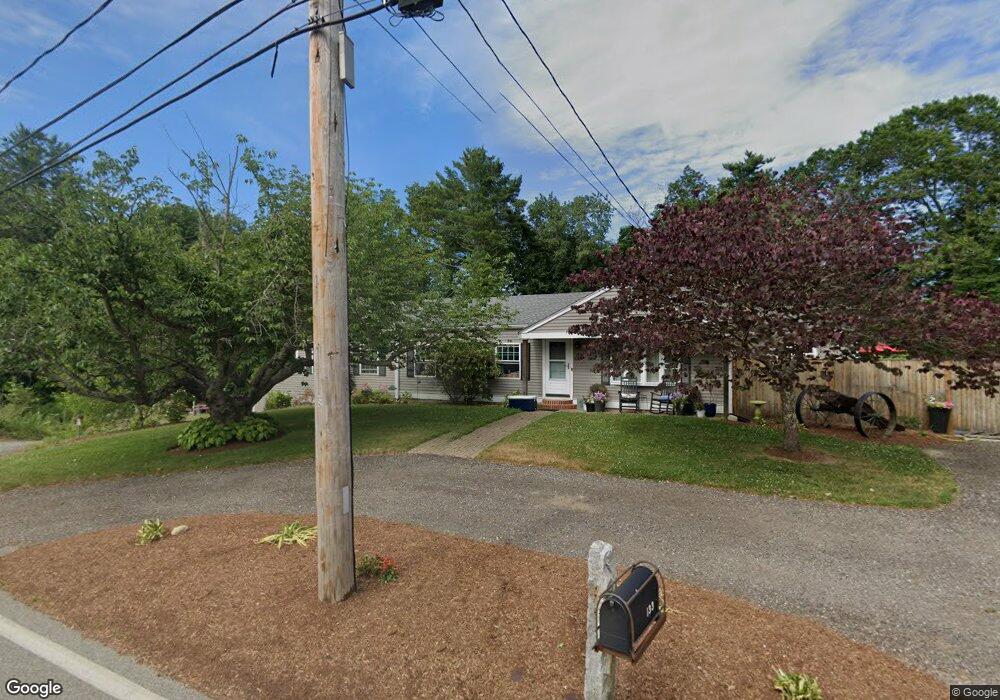
133 Walnut St Halifax, MA 02338
Estimated Value: $631,000 - $740,000
3
Beds
1
Bath
1,208
Sq Ft
$565/Sq Ft
Est. Value
About This Home
This home is located at 133 Walnut St, Halifax, MA 02338 and is currently estimated at $682,710, approximately $565 per square foot. 133 Walnut St is a home located in Plymouth County with nearby schools including Silver Lake Regional High School, Halifax Elementary School, and Silver Lake Regional Middle School.
Ownership History
Date
Name
Owned For
Owner Type
Purchase Details
Closed on
Aug 13, 2009
Sold by
Petit Thomas M
Bought by
Thompson Marissa G and Thompson William J
Current Estimated Value
Home Financials for this Owner
Home Financials are based on the most recent Mortgage that was taken out on this home.
Original Mortgage
$196,377
Interest Rate
5.36%
Mortgage Type
Purchase Money Mortgage
Purchase Details
Closed on
May 24, 2007
Sold by
Petit Thomas M and Leary Frederick
Bought by
Petit Thomas M
Purchase Details
Closed on
May 26, 2006
Sold by
Macallister James S and Farrell William J
Bought by
Petit Thomas M and Leary Frederick
Create a Home Valuation Report for This Property
The Home Valuation Report is an in-depth analysis detailing your home's value as well as a comparison with similar homes in the area
Home Values in the Area
Average Home Value in this Area
Purchase History
| Date | Buyer | Sale Price | Title Company |
|---|---|---|---|
| Thompson Marissa G | $200,000 | -- | |
| Petit Thomas M | -- | -- | |
| Petit Thomas M | $265,000 | -- |
Source: Public Records
Mortgage History
| Date | Status | Borrower | Loan Amount |
|---|---|---|---|
| Open | Petit Thomas M | $194,000 | |
| Closed | Petit Thomas M | $196,377 | |
| Previous Owner | Petit Thomas M | $81,000 |
Source: Public Records
Tax History
| Year | Tax Paid | Tax Assessment Tax Assessment Total Assessment is a certain percentage of the fair market value that is determined by local assessors to be the total taxable value of land and additions on the property. | Land | Improvement |
|---|---|---|---|---|
| 2025 | $8,969 | $628,500 | $183,800 | $444,700 |
| 2024 | $8,925 | $619,800 | $176,700 | $443,100 |
| 2023 | $8,501 | $571,300 | $171,500 | $399,800 |
| 2022 | $8,237 | $514,500 | $153,200 | $361,300 |
| 2021 | $9,808 | $449,200 | $147,300 | $301,900 |
| 2020 | $7,356 | $421,800 | $147,300 | $274,500 |
| 2019 | $7,205 | $412,400 | $143,000 | $269,400 |
| 2018 | $6,873 | $389,400 | $134,900 | $254,500 |
| 2017 | $6,065 | $327,300 | $134,900 | $192,400 |
| 2016 | $4,749 | $246,700 | $119,900 | $126,800 |
| 2015 | $4,685 | $246,700 | $119,900 | $126,800 |
Source: Public Records
Map
Nearby Homes
- 98 Walnut St
- 23 Tony Terrace
- 8 Tony Terrace
- 68 Walnut St
- 26 Old Summit St
- 74 Magnolia Way
- 64 Magnolia Way
- 250 East St
- 829 Auburn St
- 199 Cherry St
- 443 Thompson St
- 55 Oldfield Rd
- 0 Auburn St
- 1617 Plymouth St Unit 3
- 1617 Plymouth St
- 5 Country Dr
- 1397 Plymouth St Unit 1397
- 3 Caswell Way
- 0 Morse St Unit 73387111
- 30 Cesidio Ct
Your Personal Tour Guide
Ask me questions while you tour the home.