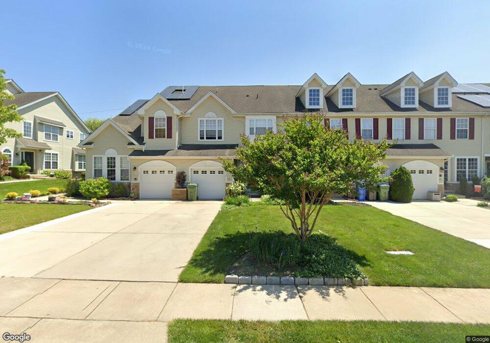
133 Westbrook Dr Swedesboro, NJ 08085
Woolwich Township NeighborhoodEstimated Value: $370,649 - $390,000
--
Bed
--
Bath
1,848
Sq Ft
$205/Sq Ft
Est. Value
About This Home
This home is located at 133 Westbrook Dr, Swedesboro, NJ 08085 and is currently estimated at $379,162, approximately $205 per square foot. 133 Westbrook Dr is a home located in Gloucester County with nearby schools including Margaret C Clifford School, Gov. Charles C. Stratton School, and Gen. Charles G. Harker School.
Ownership History
Date
Name
Owned For
Owner Type
Purchase Details
Closed on
Jun 12, 2006
Sold by
Westbrook At Weatherby Llc
Bought by
Jespersen Orlin and Jespersen Deana
Current Estimated Value
Home Financials for this Owner
Home Financials are based on the most recent Mortgage that was taken out on this home.
Original Mortgage
$219,000
Outstanding Balance
$129,760
Interest Rate
6.71%
Estimated Equity
$249,402
Create a Home Valuation Report for This Property
The Home Valuation Report is an in-depth analysis detailing your home's value as well as a comparison with similar homes in the area
Home Values in the Area
Average Home Value in this Area
Purchase History
| Date | Buyer | Sale Price | Title Company |
|---|---|---|---|
| Jespersen Orlin | $275,255 | -- |
Source: Public Records
Mortgage History
| Date | Status | Borrower | Loan Amount |
|---|---|---|---|
| Open | Jespersen Orlin | $219,000 |
Source: Public Records
Tax History Compared to Growth
Tax History
| Year | Tax Paid | Tax Assessment Tax Assessment Total Assessment is a certain percentage of the fair market value that is determined by local assessors to be the total taxable value of land and additions on the property. | Land | Improvement |
|---|---|---|---|---|
| 2025 | $7,918 | $235,800 | $51,700 | $184,100 |
| 2024 | $7,779 | $235,800 | $51,700 | $184,100 |
| 2023 | $7,779 | $235,800 | $51,700 | $184,100 |
| 2022 | $7,939 | $235,800 | $51,700 | $184,100 |
| 2021 | $8,102 | $235,800 | $51,700 | $184,100 |
| 2020 | $8,090 | $235,800 | $51,700 | $184,100 |
| 2019 | $7,272 | $193,600 | $31,700 | $161,900 |
| 2018 | $7,243 | $193,600 | $31,700 | $161,900 |
| 2017 | $7,101 | $193,600 | $31,700 | $161,900 |
| 2016 | $7,032 | $193,600 | $31,700 | $161,900 |
| 2015 | $6,871 | $193,600 | $31,700 | $161,900 |
| 2014 | $6,528 | $193,600 | $31,700 | $161,900 |
Source: Public Records
Map
Nearby Homes
- 294 Westbrook Dr
- 229 Westbrook Dr
- 209 Windsor Dr
- 9 Brattleboro Rd
- 120 Edward Dr
- 203 Amesbury Blvd
- 614 Van Buren Ct
- Alberti Ranch Plan at The Preserve at Weatherby 55+
- Bramante Ranch Plan at The Preserve at Weatherby 55+
- Palladio Ranch Plan at The Preserve at Weatherby 55+
- 330 Taft Dr
- 956 Ashburn Way
- 55 Adams St
- 66 Stonemill Way
- 23 Adams St
- 9 Adams St
- 142 Ramona Ln
- 135 Juniper Ln
- 111 Peachwood Dr
- 142 Eisenhower Dr
- 135 Westbrook Dr
- 131 Westbrook Dr
- 137 Westbrook Dr
- 139 Westbrook Dr
- 125 Westbrook Dr
- 123 Westbrook Dr
- 121 Westbrook Dr
- 119 Westbrook Dr
- 145 Westbrook Dr
- 134 Westbrook Dr
- 130 Westbrook Dr
- 117 Westbrook Dr
- 136 Westbrook Dr
- 138 Westbrook Dr
- 147 Westbrook Dr
- 128 Westbrook Dr
- 149 Westbrook Dr
- 126 Westbrook Dr
- 140 Westbrook Dr
- 115 Westbrook Dr