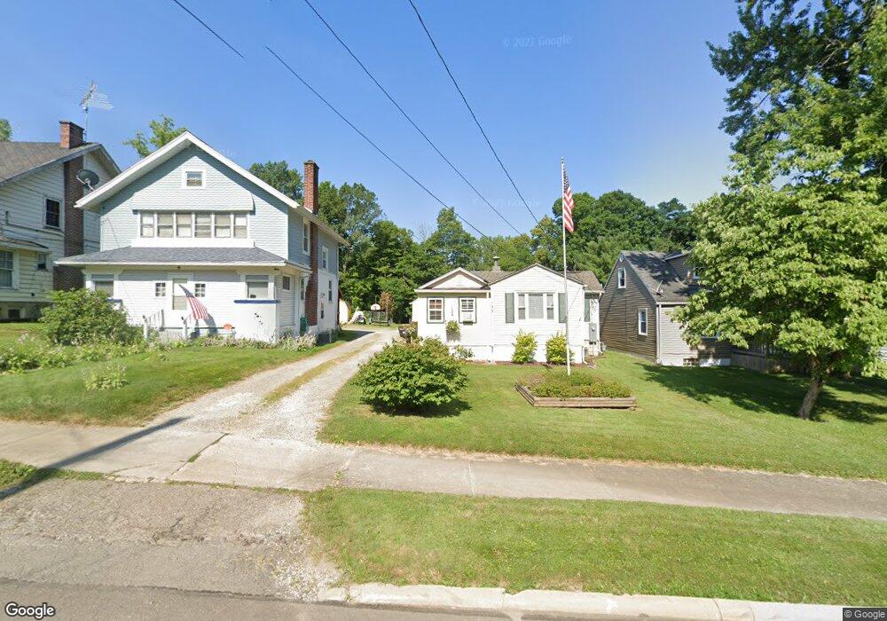
133 Western Ave Mansfield, OH 44906
Estimated Value: $56,000 - $114,000
1
Bed
1
Bath
692
Sq Ft
$114/Sq Ft
Est. Value
About This Home
This home is located at 133 Western Ave, Mansfield, OH 44906 and is currently estimated at $78,761, approximately $113 per square foot. 133 Western Ave is a home located in Richland County with nearby schools including Goal Digital Academy, Mansfield Elective Academy, and Interactive Media & Construction (IMAC) Academy.
Ownership History
Date
Name
Owned For
Owner Type
Purchase Details
Closed on
Mar 27, 1997
Sold by
Carroll Thomas A
Bought by
Owens Edward W and Owens Margaret J
Current Estimated Value
Home Financials for this Owner
Home Financials are based on the most recent Mortgage that was taken out on this home.
Original Mortgage
$15,750
Interest Rate
7.73%
Mortgage Type
New Conventional
Purchase Details
Closed on
Mar 19, 1990
Create a Home Valuation Report for This Property
The Home Valuation Report is an in-depth analysis detailing your home's value as well as a comparison with similar homes in the area
Home Values in the Area
Average Home Value in this Area
Purchase History
| Date | Buyer | Sale Price | Title Company |
|---|---|---|---|
| Owens Edward W | $16,900 | -- | |
| -- | $10,000 | -- |
Source: Public Records
Mortgage History
| Date | Status | Borrower | Loan Amount |
|---|---|---|---|
| Closed | Owens Edward W | $15,750 |
Source: Public Records
Tax History Compared to Growth
Tax History
| Year | Tax Paid | Tax Assessment Tax Assessment Total Assessment is a certain percentage of the fair market value that is determined by local assessors to be the total taxable value of land and additions on the property. | Land | Improvement |
|---|---|---|---|---|
| 2024 | $595 | $12,430 | $1,580 | $10,850 |
| 2023 | $594 | $12,430 | $1,580 | $10,850 |
| 2022 | $588 | $10,300 | $1,530 | $8,770 |
| 2021 | $593 | $10,300 | $1,530 | $8,770 |
| 2020 | $606 | $10,300 | $1,530 | $8,770 |
| 2019 | $672 | $10,300 | $1,530 | $8,770 |
| 2018 | $663 | $10,300 | $1,530 | $8,770 |
| 2017 | $631 | $10,300 | $1,530 | $8,770 |
| 2016 | $616 | $9,540 | $3,220 | $6,320 |
| 2015 | $588 | $9,540 | $3,220 | $6,320 |
| 2014 | $581 | $9,540 | $3,220 | $6,320 |
| 2012 | $234 | $10,050 | $3,390 | $6,660 |
Source: Public Records
Map
Nearby Homes
- 170 Western Ave
- 237 Helen Ave
- 269 Parkway Dr
- 185 Rowland Ave
- 120 Gettings Place
- 21 Glenwood Blvd
- 24 Stewart Ave S
- 212 Penn Ave
- 41 Parkwood Blvd
- 78 Glenwood Blvd
- 37 Baldwin Ave
- 76 Bartley Ave
- 118 Parkwood Blvd
- 362-364 W 6th St
- 126 Dawson Ave
- 133 Stewart Ave S
- 37 S Linden Rd
- 0 State Route 314 Unit 9069650
- 0 State Route 314 Unit 9067316
- 0 State Route 314 Unit 225021979
- 137 Western Ave
- 129 Western Ave
- 141 Western Ave
- 125 Western Ave
- 145 Western Ave
- 121 Western Ave
- 151-153 Western Ave
- 151 Western Ave Unit 153
- 111 Western Ave
- 153 Western Ave
- 134 Western Ave
- 130 Western Ave
- 136 Western Ave
- 122 Western Ave
- 126 Western Ave
- 142 Western Ave
- 612 Heineman Blvd
- 161 Western Ave
- 150 Western Ave
- 154 Western Ave