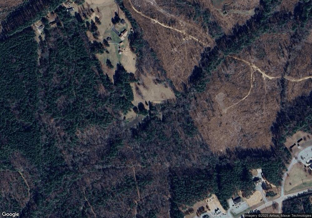
133 Wilkins Point Dr Littleton, NC 27850
Estimated Value: $111,030 - $432,000
--
Bed
--
Bath
800
Sq Ft
$366/Sq Ft
Est. Value
About This Home
This home is located at 133 Wilkins Point Dr, Littleton, NC 27850 and is currently estimated at $293,010, approximately $366 per square foot. 133 Wilkins Point Dr is a home.
Ownership History
Date
Name
Owned For
Owner Type
Purchase Details
Closed on
Mar 19, 2022
Sold by
Daniels Bettie J and Daniels Earl Willie
Bought by
Jefferson Linda D Wilkins
Current Estimated Value
Purchase Details
Closed on
Feb 14, 2019
Sold by
Wilkins William M and Wilkins Helen
Bought by
Daniels Bettie J and Wilkins Willie E
Purchase Details
Closed on
Oct 16, 2017
Sold by
Daniels Bettie J and Wilkins Willie Earl
Bought by
Wilkins William M and Wilkins Helen
Purchase Details
Closed on
Jul 18, 1997
Bought by
Daniels Bettie J and Daniels Wilkins W
Create a Home Valuation Report for This Property
The Home Valuation Report is an in-depth analysis detailing your home's value as well as a comparison with similar homes in the area
Home Values in the Area
Average Home Value in this Area
Purchase History
| Date | Buyer | Sale Price | Title Company |
|---|---|---|---|
| Jefferson Linda D Wilkins | -- | Law Office Of Elaine B Wilson | |
| Daniels Bettie J | -- | -- | |
| Wilkins William M | -- | None Available | |
| Daniels Bettie J | -- | -- |
Source: Public Records
Tax History Compared to Growth
Tax History
| Year | Tax Paid | Tax Assessment Tax Assessment Total Assessment is a certain percentage of the fair market value that is determined by local assessors to be the total taxable value of land and additions on the property. | Land | Improvement |
|---|---|---|---|---|
| 2025 | $699 | $89,302 | $19,760 | $69,542 |
| 2024 | $542 | $46,446 | $11,260 | $35,186 |
| 2023 | $542 | $46,446 | $11,260 | $35,186 |
| 2022 | $390 | $46,446 | $11,260 | $35,186 |
| 2021 | $540 | $46,446 | $11,260 | $35,186 |
| 2020 | $0 | $52,656 | $11,260 | $41,396 |
| 2019 | $594 | $52,656 | $11,260 | $41,396 |
| 2018 | $627 | $60,848 | $25,644 | $35,204 |
| 2017 | $627 | $60,848 | $25,644 | $35,204 |
| 2016 | $584 | $61,739 | $27,400 | $34,339 |
| 2015 | -- | $61,739 | $0 | $0 |
| 2014 | -- | $61,739 | $0 | $0 |
| 2010 | -- | $61,739 | $27,400 | $34,339 |
Source: Public Records
Map
Nearby Homes
- 0 Rd Unit 132066
- TBD Kings Branch Ct
- 119 Kings Branch Ct
- 0 Whitby Cove Rd
- Lot 3 Dove Manor Rd
- Lot 2 Trader Cir
- 0 Trader Cir
- 407 Mill Creek Dr
- 170 Windward Dr
- 6R Hillcrest Ln
- Lot 84 Twin Oaks Ln
- 000 Twin Oaks Ln
- 469 Mill Creek Dr
- 149 Connie Ln
- 0 Dove Manor Rd
- 0 Old Ferry Rd
- 221 Old Ferry Rd
- 00 Country Ln
- 129 S Dove Ln
- 253 Songbird Rd
- 129 Wilkins Point Dr
- 125 Wilkins Point Dr
- 203 Ebony Rd
- 219 Ebony Rd
- 229 Ebony Rd
- 237 Ebony Rd
- 145 Williams Manor Ct
- 299 Ebony Rd
- 2357 Eaton Ferry Rd
- 273 Elams Rd
- 2401 Eaton Ferry Rd
- 215 Elam Rd
- 314 Ebony Rd
- 00 Elam Rd
- Lot 3 Elam Rd
- Lot 2 Elam Rd
- Lot 1 Elam Rd
- 0 Elam Rd
- 51.86 ac Elam Rd
- 172 ac Elam Rd
