Estimated Value: $99,000 - $139,000
2
Beds
1
Bath
1,161
Sq Ft
$109/Sq Ft
Est. Value
About This Home
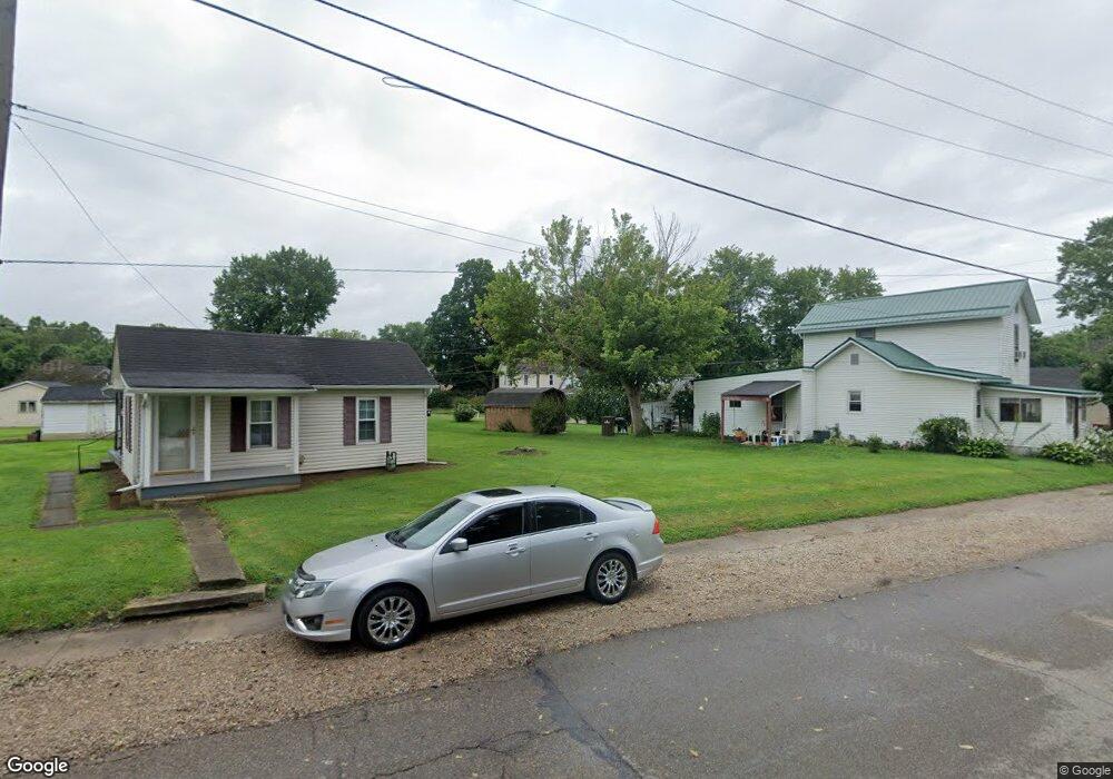
This home is located at 133 Williams St, Utica, OH 43080 and is currently estimated at $126,150, approximately $108 per square foot. 133 Williams St is a home with nearby schools including Utica High School.
Ownership History
Date
Name
Owned For
Owner Type
Purchase Details
Closed on
Jun 10, 2024
Sold by
Muston Family Trust and Muston Charles R
Bought by
White Jamie and White Jennifer
Current Estimated Value
Home Financials for this Owner
Home Financials are based on the most recent Mortgage that was taken out on this home.
Original Mortgage
$86,330
Outstanding Balance
$85,270
Interest Rate
7.22%
Mortgage Type
New Conventional
Estimated Equity
$40,880
Purchase Details
Closed on
Feb 26, 2004
Sold by
Muston Charles R and Muston Vivian L
Bought by
Muston Charles R and Muston Vivian L
Purchase Details
Closed on
Jan 12, 1995
Sold by
Martin Bob
Bought by
Muston Charles R and Muston Vivian L
Create a Home Valuation Report for This Property
The Home Valuation Report is an in-depth analysis detailing your home's value as well as a comparison with similar homes in the area
Home Values in the Area
Average Home Value in this Area
Purchase History
| Date | Buyer | Sale Price | Title Company |
|---|---|---|---|
| White Jamie | $89,000 | None Listed On Document | |
| Muston Charles R | -- | -- | |
| Muston Charles R | $40,000 | -- |
Source: Public Records
Mortgage History
| Date | Status | Borrower | Loan Amount |
|---|---|---|---|
| Open | White Jamie | $86,330 |
Source: Public Records
Tax History Compared to Growth
Tax History
| Year | Tax Paid | Tax Assessment Tax Assessment Total Assessment is a certain percentage of the fair market value that is determined by local assessors to be the total taxable value of land and additions on the property. | Land | Improvement |
|---|---|---|---|---|
| 2024 | $1,425 | $37,420 | $6,790 | $30,630 |
| 2023 | $1,427 | $37,420 | $6,790 | $30,630 |
| 2022 | $887 | $23,350 | $3,540 | $19,810 |
| 2021 | $907 | $23,350 | $3,540 | $19,810 |
| 2020 | $907 | $23,350 | $3,540 | $19,810 |
| 2019 | $777 | $18,700 | $2,840 | $15,860 |
| 2018 | $781 | $0 | $0 | $0 |
| 2017 | $782 | $0 | $0 | $0 |
| 2016 | $787 | $0 | $0 | $0 |
| 2015 | $780 | $0 | $0 | $0 |
| 2014 | $1,037 | $0 | $0 | $0 |
| 2013 | $761 | $0 | $0 | $0 |
Source: Public Records
Map
Nearby Homes
- 312 Mill St
- 307 Spring St
- 44 Maple Ave
- 500 North St Unit LOT 29
- 523 North St
- 4348 Johnstown Utica Rd NE
- 4136 Johnstown Utica Rd NE
- 80 Morningside Dr
- 0 Purity Rd Unit 225038778
- 9962 Weaver Rd
- 10924 Mount Vernon Rd
- 0 Stout Rd
- 0 Dog Hollow Rd Unit LOT 8 224025180
- 0 Dog Hollow Rd Unit LOT 5
- 1106 Homer Rd NW
- 13062 Fosdyke Rd
- 2800 Weaver Rd
- 13944 Lafayette Rd
- 0 Martinsburg Rd Unit 225028542
- 4965 Newark Rd
- 127 Williams St
- 121 Williams St
- 141 Williams St
- 144 S Washington St
- 136 Williams St
- 148 N Washington St
- 136 S Washington St
- 130 Williams St
- 236 Mill St
- 132 S Washington St
- 140 Williams St
- 126 S Washington St
- 248 Mill St
- 150 S Washington St
- 262 Mill St
- 162 S Washington St
- 224 Mill St
- 157 Williams St
- 148 Williams St
- 218 Mill St