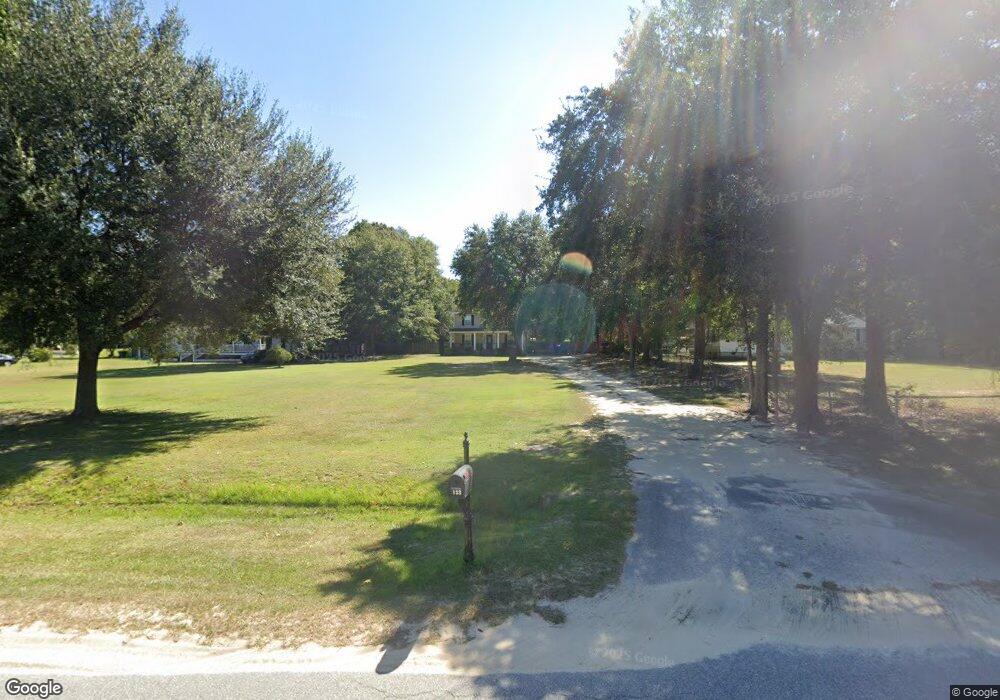
133 Willow Wind Rd Hopkins, SC 29061
Estimated Value: $151,000 - $257,000
3
Beds
2
Baths
1,353
Sq Ft
$151/Sq Ft
Est. Value
About This Home
This home is located at 133 Willow Wind Rd, Hopkins, SC 29061 and is currently estimated at $204,952, approximately $151 per square foot. 133 Willow Wind Rd is a home located in Richland County with nearby schools including Hopkins Elementary School, Hopkins Middle School, and Lower Richland High School.
Ownership History
Date
Name
Owned For
Owner Type
Purchase Details
Closed on
Mar 8, 2024
Sold by
Nance Vernard and Nance Katrenia
Bought by
Nance Vernard
Current Estimated Value
Purchase Details
Closed on
Feb 28, 2007
Sold by
Nance Vernie
Bought by
Nance Vernard and Nance Katrenia
Purchase Details
Closed on
Feb 15, 2006
Sold by
Edwards Cleve and Edwards Melvin Caryn
Bought by
Nance Vernie
Create a Home Valuation Report for This Property
The Home Valuation Report is an in-depth analysis detailing your home's value as well as a comparison with similar homes in the area
Home Values in the Area
Average Home Value in this Area
Purchase History
| Date | Buyer | Sale Price | Title Company |
|---|---|---|---|
| Nance Vernard | -- | None Listed On Document | |
| Nance Vernard | -- | None Listed On Document | |
| Nance Vernard | -- | None Available | |
| Nance Vernie | $19,000 | None Available |
Source: Public Records
Tax History Compared to Growth
Tax History
| Year | Tax Paid | Tax Assessment Tax Assessment Total Assessment is a certain percentage of the fair market value that is determined by local assessors to be the total taxable value of land and additions on the property. | Land | Improvement |
|---|---|---|---|---|
| 2024 | $1,213 | $131,300 | $0 | $0 |
| 2023 | $1,213 | $4,564 | $0 | $0 |
| 2022 | $1,100 | $114,100 | $18,400 | $95,700 |
| 2021 | $1,096 | $4,560 | $0 | $0 |
| 2020 | $1,113 | $4,560 | $0 | $0 |
| 2019 | $1,086 | $4,560 | $0 | $0 |
| 2018 | $1,132 | $4,910 | $0 | $0 |
| 2017 | $1,107 | $4,910 | $0 | $0 |
| 2016 | $1,103 | $4,910 | $0 | $0 |
| 2015 | $1,073 | $4,910 | $0 | $0 |
| 2014 | $1,041 | $122,800 | $0 | $0 |
| 2013 | -- | $4,910 | $0 | $0 |
Source: Public Records
Map
Nearby Homes
- 7070 Lower Richland Blvd
- 308 Tartan Rd
- 322 Tartan Rd
- 312 Tartan Rd
- 177 Laurinton Farms Rd
- 318 Tartan Rd
- 302 Tartan Rd
- 181 Laurinton Farms Rd
- 183 Laurinton Farms Rd
- 187 Laurinton Farms Rd
- 191 Laurinton Farms Rd
- 310 Tartan Rd
- 195 Laurinton Farms Rd
- 199 Laurinton Farms Rd
- Monroe Plan at Laurinton Farms
- Anderson Plan at Laurinton Farms
- Easley Plan at Laurinton Farms
- Magnolia Plan at Laurinton Farms
- Monroe II Plan at Laurinton Farms
- Taylor II Plan at Laurinton Farms
- 137 Willow Wind Rd
- 141 Willow Wind Rd
- 129 Willow Wind Rd
- 117 Willow Wind Rd
- 209 Willow Wind Rd
- 113 Willow Wind Rd
- 109 Willow Wind Rd
- 213 Willow Wind Rd
- 217 Willow Wind Rd
- 420 Air Base Rd
- 424 Air Base Rd
- 408 Air Base Rd
- 225 Willow Wind Rd
- 416 Air Base Rd
- 28 Willow Wind Ln
- 32 Willow Wind Ln
- 24 Willow Wind Ln
- 16 Willow Wind Ln
- 20 Willow Wind Ln
- 36 Willow Wind Ln