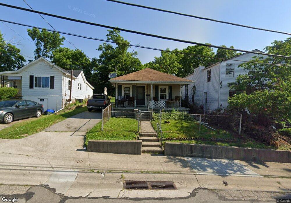
1330 Adams St Cincinnati, OH 45215
Estimated Value: $89,971 - $116,000
2
Beds
3
Baths
621
Sq Ft
$166/Sq Ft
Est. Value
About This Home
This home is located at 1330 Adams St, Cincinnati, OH 45215 and is currently estimated at $102,990, approximately $165 per square foot. 1330 Adams St is a home located in Hamilton County with nearby schools including Glendale Elementary School, Princeton Community Middle School, and Princeton High School.
Ownership History
Date
Name
Owned For
Owner Type
Purchase Details
Closed on
Jul 12, 2018
Sold by
Stock Gayle
Bought by
Z00n 1330 Llc
Current Estimated Value
Purchase Details
Closed on
Oct 21, 2014
Sold by
K L Enterprises Inc
Bought by
Stock Gayle
Purchase Details
Closed on
Jan 9, 2013
Sold by
Harding Todd Andre and Harding Cherell Y
Bought by
Kl Enterprises Inc
Purchase Details
Closed on
Aug 3, 2004
Sold by
Harding Todd Andre and Harding Cherell Y
Bought by
Harding Todd Andre and Harding Cherell Y
Purchase Details
Closed on
May 30, 2003
Sold by
Robinson Mabel
Bought by
Hardin Todd Andrew
Create a Home Valuation Report for This Property
The Home Valuation Report is an in-depth analysis detailing your home's value as well as a comparison with similar homes in the area
Home Values in the Area
Average Home Value in this Area
Purchase History
| Date | Buyer | Sale Price | Title Company |
|---|---|---|---|
| Z00n 1330 Llc | -- | None Available | |
| Stock Gayle | $16,666 | Attorney | |
| Kl Enterprises Inc | $4,000 | Springdale Title Llc | |
| Harding Todd Andre | -- | -- | |
| Hardin Todd Andrew | $17,000 | -- |
Source: Public Records
Tax History Compared to Growth
Tax History
| Year | Tax Paid | Tax Assessment Tax Assessment Total Assessment is a certain percentage of the fair market value that is determined by local assessors to be the total taxable value of land and additions on the property. | Land | Improvement |
|---|---|---|---|---|
| 2024 | $1,001 | $14,469 | $1,316 | $13,153 |
| 2023 | $989 | $14,469 | $1,316 | $13,153 |
| 2022 | $613 | $5,835 | $1,316 | $4,519 |
| 2021 | $611 | $5,835 | $1,316 | $4,519 |
| 2020 | $607 | $5,835 | $1,316 | $4,519 |
| 2019 | $640 | $5,835 | $1,316 | $4,519 |
| 2018 | $754 | $5,835 | $1,316 | $4,519 |
| 2017 | $577 | $5,835 | $1,316 | $4,519 |
| 2016 | $314 | $3,703 | $1,680 | $2,023 |
| 2015 | $336 | $3,703 | $1,680 | $2,023 |
| 2014 | $358 | $3,703 | $1,680 | $2,023 |
| 2013 | $435 | $4,631 | $2,100 | $2,531 |
Source: Public Records
Map
Nearby Homes
- 0 Adams St
- 949 Adams St
- 1271 Timberland Dr
- 1337 Shepherd Ln
- 502 Marion Rd
- 964 Shepherd Ln
- 10164 Wayne Ave
- 10122 Grandview Ave
- 505 Glendale Milford Rd
- 405 Mcewing Dr
- 503 W Forrer St
- 310 Westview Ave
- 1757 Woodruff Ln
- 1708 Harmon Dr
- 405 W Forrer St
- 412 N Wayne Ave
- 22 Ritchie Ave
- 55 Bonham Rd
- 229 Bernard Ave
- 1239 Springfield Pike