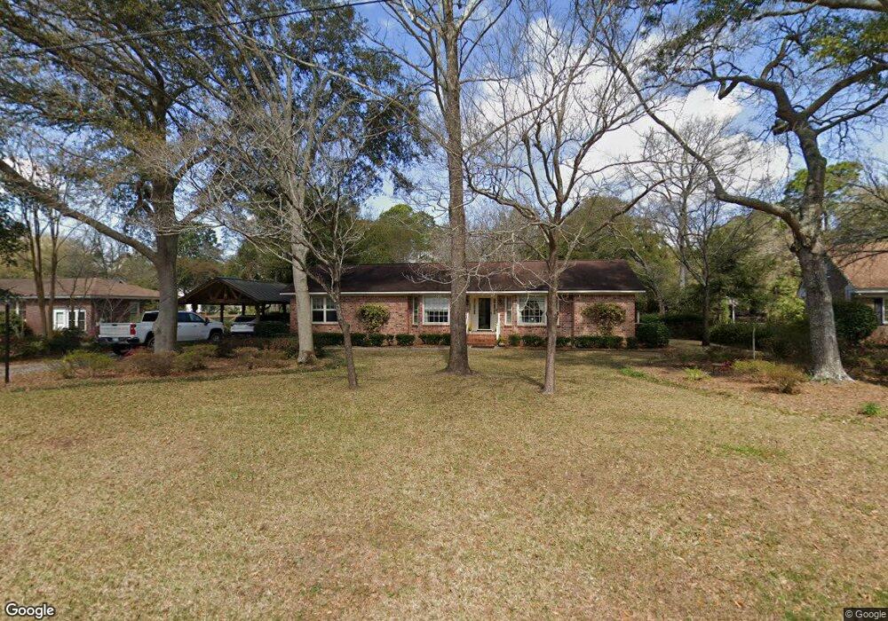
1330 Bluebird Dr Mount Pleasant, SC 29464
Rifle Range NeighborhoodEstimated Value: $735,000 - $790,000
3
Beds
2
Baths
1,433
Sq Ft
$531/Sq Ft
Est. Value
About This Home
This home is located at 1330 Bluebird Dr, Mount Pleasant, SC 29464 and is currently estimated at $760,273, approximately $530 per square foot. 1330 Bluebird Dr is a home located in Charleston County with nearby schools including Mamie Whitesides Elementary School, Moultrie Middle School, and Lucy Garrett Beckham High School.
Ownership History
Date
Name
Owned For
Owner Type
Purchase Details
Closed on
Aug 18, 2014
Sold by
Noll Howard D and Noll Sybil W
Bought by
The Nill Living Trust
Current Estimated Value
Home Financials for this Owner
Home Financials are based on the most recent Mortgage that was taken out on this home.
Original Mortgage
$106,400
Interest Rate
4.19%
Mortgage Type
New Conventional
Purchase Details
Closed on
Aug 12, 2014
Sold by
Noll Howard D and Noll Sybil W
Bought by
Noll Howard D and Noll Sybil W
Home Financials for this Owner
Home Financials are based on the most recent Mortgage that was taken out on this home.
Original Mortgage
$106,400
Interest Rate
4.19%
Mortgage Type
New Conventional
Purchase Details
Closed on
Sep 29, 2005
Sold by
Noll Howard D and Noll Sybil Wiggins
Bought by
Noll Howard D and Noll Sybil Wiggins
Create a Home Valuation Report for This Property
The Home Valuation Report is an in-depth analysis detailing your home's value as well as a comparison with similar homes in the area
Home Values in the Area
Average Home Value in this Area
Purchase History
| Date | Buyer | Sale Price | Title Company |
|---|---|---|---|
| The Nill Living Trust | -- | -- | |
| Noll Howard D | -- | -- | |
| Noll Howard D | -- | -- |
Source: Public Records
Mortgage History
| Date | Status | Borrower | Loan Amount |
|---|---|---|---|
| Closed | The Nill Living Trust | $106,400 |
Source: Public Records
Tax History Compared to Growth
Tax History
| Year | Tax Paid | Tax Assessment Tax Assessment Total Assessment is a certain percentage of the fair market value that is determined by local assessors to be the total taxable value of land and additions on the property. | Land | Improvement |
|---|---|---|---|---|
| 2024 | $1,222 | $11,110 | $0 | $0 |
| 2023 | $1,222 | $11,110 | $0 | $0 |
| 2022 | $1,099 | $11,110 | $0 | $0 |
| 2021 | $1,200 | $11,110 | $0 | $0 |
| 2020 | $1,219 | $10,910 | $0 | $0 |
| 2019 | $1,047 | $9,220 | $0 | $0 |
| 2017 | $1,033 | $11,220 | $0 | $0 |
| 2016 | $987 | $11,220 | $0 | $0 |
| 2015 | $1,028 | $11,220 | $0 | $0 |
| 2014 | $859 | $0 | $0 | $0 |
| 2011 | -- | $0 | $0 | $0 |
Source: Public Records
Map
Nearby Homes
- 1228 Melvin Bennett Rd
- 1310 Pilsdon Crest
- 1224 Decoy Ct
- 1309 Llewellyn Rd
- 1214 Canvasback Ct
- 0 Chuck Dawley Blvd Unit 25018679
- 1308 Old Tabby Ln
- 1368 Langford Rd
- 1411 Cambridge Lakes Dr Unit 108a
- 1708 Paradise Lake Dr
- 1316 Scotts Creek Cir
- 1145 S Shadow Dr
- 1700 Paradise Lake Dr
- 1437 Scotts Creek Cir
- 1515 Cambridge Lakes Dr Unit D101
- 1134 S Shadow Dr
- 901 Sea Gull Dr Unit A&B
- 1288 Old Colony Rd
- 1607 Paradise Lake Dr
- 1418 Inland Creek Way
- 1324 Bluebird Dr
- 1334 Bluebird Dr
- 1627 Florentia St
- 1325 Bluebird Dr
- 1318 Bluebird Dr
- 1336 Bluebird Dr
- 1244 Melvin Bennett Rd
- 1240 Melvin Bennett Rd
- 1256 Melvin Bennett Rd Unit A
- 1256 Melvin Bennett Rd
- 1329 Bluebird Dr
- 1340 Bluebird Dr
- 1312 Bluebird Dr
- 1313 Bluebird Dr
- 1236 Melvin Bennett Rd
- 1128 Melvin Bennett Rd
- 1234 Melvin Bennett Rd
- 1335 Bluebird Dr
- 1232 Melvin Bennett Rd
- 1308 Bluebird Dr